Information
Landmark: Rancho Los AmigosCity: Tijuana
Country: Mexico
Continent: North America
Rancho Los Amigos, Tijuana, Mexico, North America
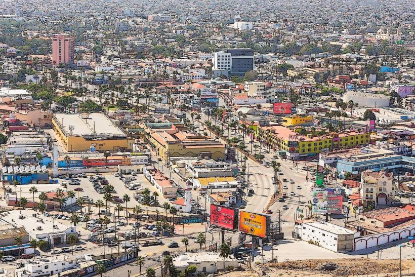
Rancho Los Amigos is a former agricultural property located in Tijuana, Mexico.
It is situated in the eastern sector of the city.
Visual Characteristics
The site consists of open fields with remnants of agricultural infrastructure. Structures are primarily constructed from concrete and weathered wood. The landscape is characterized by dry grasses and scattered mesquite trees.
Location & Access Logistics
Rancho Los Amigos is located approximately 15 kilometers east of downtown Tijuana. Access is via Federal Highway 1D, exiting onto Carretera a Tecate. The property is accessible by unpaved service roads. Parking is informal and available on-site. Public transport options are limited; local bus routes terminate several kilometers away, requiring a taxi or private vehicle for the final approach.
Historical & Ecological Origin
The property was established as an agricultural ranch in the mid-20th century, primarily for livestock and crop cultivation. Its ecological origin is arid chaparral, adapted to the semi-arid climate of the Baja California peninsula.
Key Highlights & Activities
Exploration of the remaining structures is possible. Observation of local flora and fauna is available. The open terrain is suitable for walking.
Infrastructure & Amenities
No public restrooms are available. Shade is minimal, provided only by scattered trees. Cell phone signal is intermittent. No food vendors are present on the property; provisions should be brought from the city.
Best Time to Visit
The optimal time for visiting is during the cooler months of October through April. Mid-morning or late afternoon provides the most favorable lighting conditions for photography due to lower sun angles.
Facts & Legends
Local accounts suggest the ranch was a significant supply point during periods of cross-border activity in the late 20th century. The name "Los Amigos" (The Friends) is often cited as a reference to its historical role in facilitating exchanges.
Nearby Landmarks
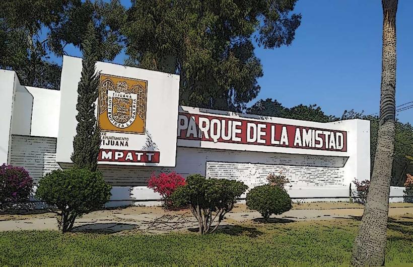
- Parque de la Amistad (0.8km West)
- Estadio Caliente (3.2km Southwest)
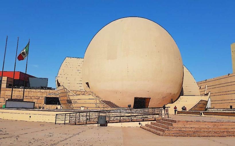
- Centro Cultural Tijuana (14.5km West)
- Plaza Río Tijuana (15.1km West)