Information
Landmark: Rathlin IslandCity: Antrim
Country: Ireland
Continent: Europe
Rathlin Island, Antrim, Ireland, Europe
Rathlin Island is a L-shaped inhabited island located 10km off the coast of Ballycastle in County Antrim. It is the northernmost point of Northern Ireland and sits within the North Channel, separating the Atlantic Ocean from the Irish Sea.
Visual Characteristics
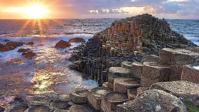
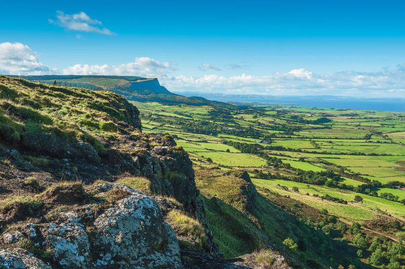
The island is characterized by dramatic white limestone and dark basalt cliffs that rise to 150 meters. The landscape is primarily rugged heathland, maritime grassland, and scrub, with three lighthouses marking its extremities. The western end is dominated by a massive sea stack known as the Stacks of Tilly, which hosts densely packed seabird colonies during nesting season.
Location & Access Logistics
Access is exclusively via ferry from Ballycastle Harbour. Two ferry types operate: a fast passenger catamaran (20 minutes) and a larger vehicle/passenger ferry (40 minutes). On the island, the Rathlin Coaster bus provides transport between the harbor and the West Light Seabird Centre. Bicycle rentals are available at Church Bay. Private vehicle access is restricted to residents only.
Historical & Ecological Origin
Geologically, the island is part of the Antrim Plateau, formed by volcanic activity 60 million years ago. It is a Special Area of Conservation (SAC) and an Important Bird Area (IBA). Historically, it was the site of the first Viking raid on Ireland in 795 AD. The island’s unique "upside-down" lighthouse at the West Light was completed in 1919, built into the cliff face to ensure the beam remained below low-hanging fog.
Key Highlights & Activities
Birdwatching is the primary activity, specifically at the RSPB West Light Seabird Centre, where puffins, razorbills, and guillemots nest from April to July. Walking trails include the Roonivoolin Loop (6.5km) at the southern end, which offers views of the resident seal colonies at Mill Bay. Scuba diving is prevalent in the surrounding waters due to over 40 mapped shipwrecks.
Infrastructure & Amenities
Church Bay serves as the island's hub, containing a small grocery shop, a pub (The McCuaig’s), and a few seasonal cafes. Public restrooms are located at the harbor and the Seabird Centre. 4G cellular signal is reliable in Church Bay but can be obstructed by terrain on the northern and western trails. There is very little natural shade across the island's exposed plateau.
Best Time to Visit
The peak season for wildlife is between late April and July for puffin sightings. Photography is best during the late afternoon for the western cliffs or early morning for Church Bay. Ferry services are weather-dependent and frequently cancelled during North Channel gales; checking the sailing status on the morning of travel is essential.
Facts & Legends
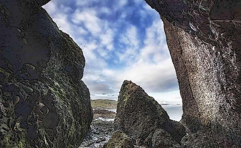
Rathlin is famous as the location of Bruce’s Cave, where Robert the Bruce, King of Scots, allegedly sought refuge in 1306. Legend states that while watching a spider repeatedly attempt to fix its web, he was inspired to return to Scotland and continue his struggle for independence, coining the phrase "If at first you don't succeed, try, try again."
Nearby Landmarks
Ballycastle Harbour – 10km South (via ferry)
Fair Head – 11km Southeast
Rue Point Lighthouse – 3.5km South (from Church Bay)
Altacarry (East) Lighthouse – 3.2km Northeast
West Light Seabird Centre – 7.2km West