Information
Landmark: Runaway BeachCity: Dickenson Bay
Country: Antigua and Barbuda
Continent: North America
Runaway Beach, Dickenson Bay, Antigua and Barbuda, North America
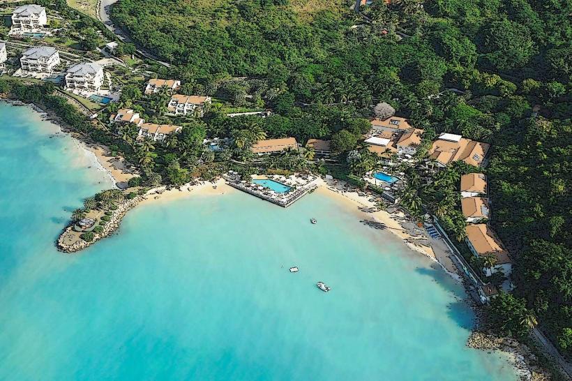
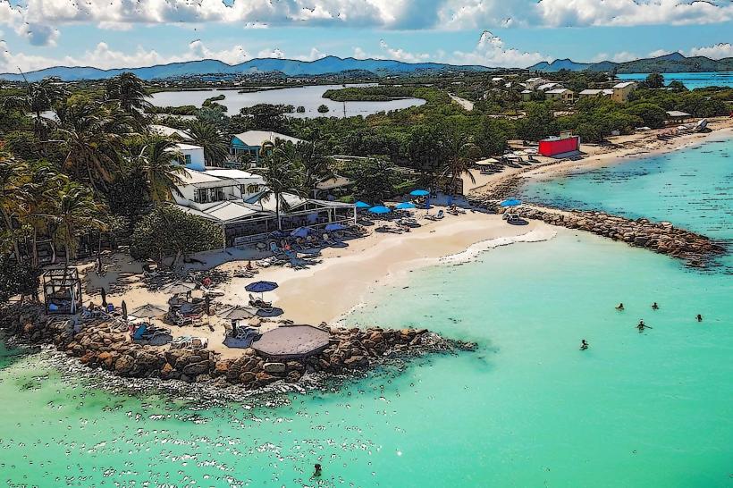
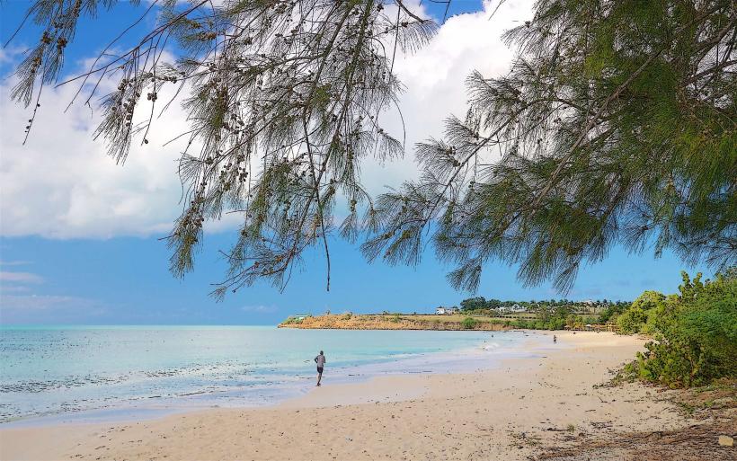
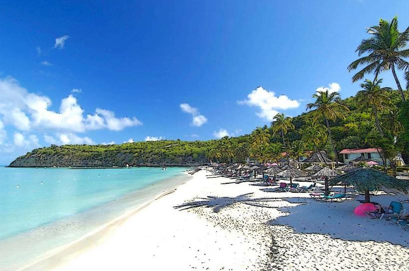
Runaway Beach is a 2.5-kilometer-long stretch of coastline situated on the northwestern shore of Antigua, adjacent to Dickenson Bay.
Visual Characteristics
The beach features fine, pale sand with a moderate grain size. The water exhibits a clear, light blue coloration, transitioning to a deeper azure further offshore. The shoreline is generally flat, with a gentle slope into the sea. Vegetation behind the beach consists of low-lying scrub and scattered palm trees.
Location & Access Logistics
Runaway Beach is located approximately 5 kilometers northwest of St. John's, the capital city. Access is via Valley Road (A3) turning onto Fort Road (B3) and then following signs for Dickenson Bay. Ample parking is available in designated lots adjacent to the beach. Public transport is accessible via the Route 40 bus, which stops at the entrance to Dickenson Bay, a short walk from the beach.
Historical & Ecological Origin
Runaway Beach is a natural coastal formation, primarily composed of sand derived from the erosion of local coral reefs and limestone. Its formation is a result of prevailing ocean currents and wave action over geological time.
Key Highlights & Activities
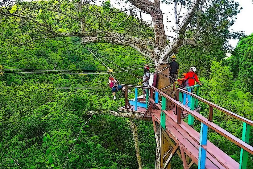
Swimming is possible in calm conditions. Sunbathing is a primary activity. Water sports equipment rentals are available from vendors along the beach. Walking the length of the beach is feasible at low tide.
Infrastructure & Amenities
Restrooms are located at the public access points. Shade is provided by natural palm trees and some rented umbrellas. Cell phone signal (4G/5G) is generally strong. Food and beverage vendors operate along the main Dickenson Bay strip, accessible from the beach.
Best Time to Visit
For photography, early morning (07:00-09:00) offers softer light. Midday provides the brightest conditions. The dry season, from December to May, offers the most consistent weather. High tide is suitable for swimming; low tide exposes more of the sandbar.
Facts & Legends
Local lore suggests the beach's name originates from a historical incident where ships would anchor offshore and "run away" to avoid customs duties. A specific tip for visitors is to explore the rock formations at the northern end of the beach during low tide for small tide pools.
Nearby Landmarks
- Dickenson Bay (0.1km North)
- Fort James (1.5km South)
- St. John's Cathedral (4.0km Southeast)
- Museum of Antigua and Barbuda (4.2km Southeast)
- Redcliffe Quay (4.5km Southeast)