Information
Landmark: Salinas and Aguada Blanca ReserveCity: Arequipa
Country: Peru
Continent: South America
Salinas and Aguada Blanca Reserve, Arequipa, Peru, South America
The Salinas and Aguada Blanca National Reserve is a protected area situated in the Arequipa region of Peru. It encompasses high-altitude Andean ecosystems and significant water resources.
Visual Characteristics
The reserve features vast, arid plains interspersed with volcanic rock formations and puna grassland. Elevations range from 3,500 to over 5,000 meters above sea level. Dominant colors include muted greens and browns of the vegetation, grey and black of volcanic rock, and the blue of the sky. Several lagoons, such as Salinas Lake, exhibit varying shades of blue and turquoise depending on mineral content and depth. Vicuñas and alpacas are common fauna, appearing as small, light-colored dots against the landscape.
Location & Access Logistics
The reserve is located approximately 70 kilometers northeast of Arequipa. Access is primarily via the PE-34A highway, which leads towards the town of Chiguata and then branches off towards the reserve entrance. The journey from Arequipa city center takes approximately 2 to 3 hours by private vehicle. Public transport options are limited; shared taxis or organized tours are the most practical means of reaching the reserve. Parking is available at designated points near the visitor center and key viewpoints, though it is informal and unpaved.
Historical & Ecological Origin
The Salinas and Aguada Blanca National Reserve was established on February 25, 1979, to protect its unique high-Andean ecosystems, water sources, and wildlife, particularly the vicuña population. Ecologically, it is classified as a high-Andean puna and high-Andean desert ecosystem. The landscape is shaped by volcanic activity and glacial erosion. The lagoons are fed by snowmelt and rainfall, contributing to the region's hydrological cycle.
Key Highlights & Activities
Observation of vicuñas and alpacas in their natural habitat is a primary activity. Visitors can explore the shores of Salinas Lake, known for its flamingos. Hiking is possible on designated trails, such as the route around the lake. Photography opportunities exist for the volcanic landscapes and wildlife. Birdwatching is also a significant activity, with various Andean species present.
Infrastructure & Amenities
Basic infrastructure includes a visitor center with limited information. Restrooms are available at the visitor center. Shade is minimal throughout the reserve, with natural rock formations offering the only significant cover. Cell phone signal is unreliable and generally absent in most areas of the reserve. Food vendors are not present within the reserve; visitors must carry their own provisions.
Best Time to Visit
The dry season, from April to October, offers the most stable weather conditions with clear skies. The best time of day for photography is generally during the early morning or late afternoon when the sunlight creates longer shadows and highlights the terrain. High tide is not a relevant factor for visiting this high-altitude reserve. Temperatures can fluctuate significantly, with daytime highs around 15°C and nighttime lows dropping below freezing.
Facts & Legends
Salinas Lake is known for its high salt content, which can cause the water to appear white or pinkish due to the presence of specific algae. Local legends speak of ancient spirits guarding the mountains and lagoons, influencing the weather and the abundance of wildlife.
Nearby Landmarks
- El Misti Volcano (15km Southwest)
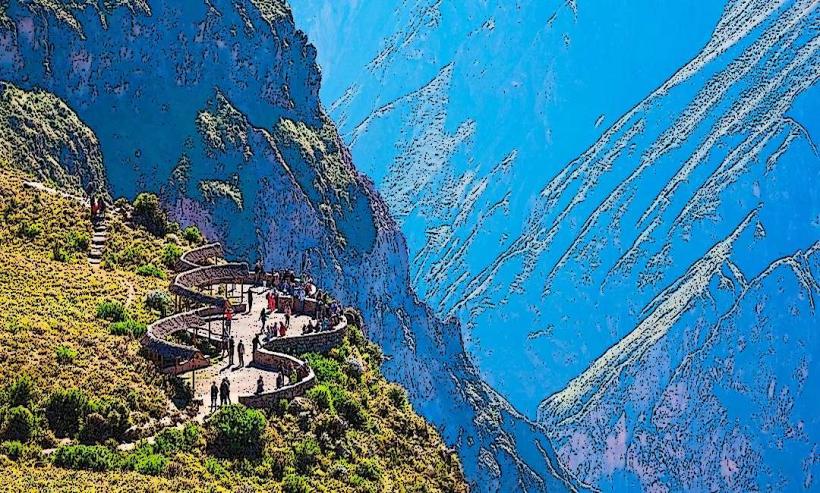
- Colca Canyon (approximately 100km East, outside the 5km radius but a major regional attraction)
- Chiguata Town (20km Southwest)
- Laguna de Mejía National Sanctuary (approximately 80km Southwest, outside the 5km radius)
- Santa Catalina Monastery, Arequipa (approximately 70km Southwest)