Information
Landmark: Salmon River Scenic BywayCity: Salmon
Country: USA Idaho
Continent: North America
Salmon River Scenic Byway, Salmon, USA Idaho, North America
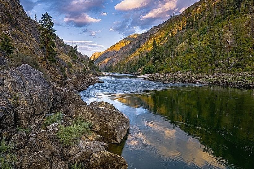
The Salmon River Scenic Byway is a designated route in Idaho, USA, traversing the Salmon River corridor. It is located in the vicinity of the city of Salmon.
Visual Characteristics
The byway follows the Salmon River, characterized by its clear, flowing water. The surrounding terrain consists of steep canyon walls, primarily composed of granite and metamorphic rock formations. Vegetation includes Ponderosa pine, Douglas fir, and various undergrowth species adapted to arid and semi-arid conditions. The river's color varies from deep blue to emerald green depending on depth and light conditions. Rock outcroppings and talus slopes are common features along the canyon sides.
Location & Access Logistics
The Salmon River Scenic Byway is accessible from Salmon, Idaho. The primary access point is via US Highway 93, which runs concurrently with the byway for a significant portion. The byway extends approximately 90 miles (145 km) from the town of Salmon northward towards the Montana border. Parking is available at designated pull-offs and trailheads along the route. Public transport options are limited; the nearest major airport is in Missoula, Montana (MSO), approximately 150 miles (241 km) east.
Historical & Ecological Origin
The Salmon River is a natural geological feature, carved over millions of years by fluvial erosion. The canyon system is part of the Intermountain West's geological history, shaped by tectonic activity and erosion. The area has been inhabited by indigenous peoples for millennia. The designation as a Scenic Byway aims to preserve its natural and cultural heritage.
Key Highlights & Activities
Activities include scenic driving, photography at designated viewpoints, and fishing in the Salmon River (license required). Hiking trails are accessible at various points, such as the Panther Creek Trailhead. Wildlife viewing opportunities exist for elk, deer, and various bird species. Rafting and kayaking are popular during the summer months, with put-in points located along the byway.
Infrastructure & Amenities
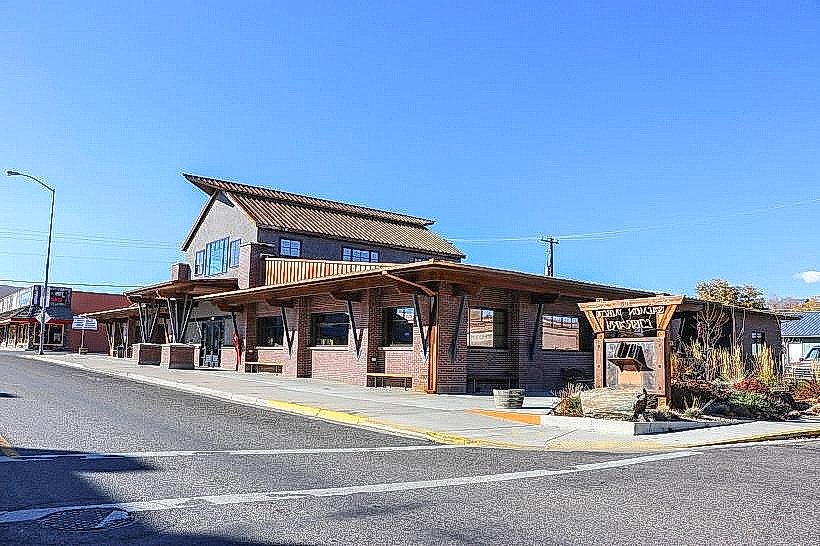
Restroom facilities are available at some campgrounds and designated rest areas. Shade is primarily provided by natural tree cover in certain sections. Cell phone signal is intermittent and generally unreliable throughout much of the byway. Food vendors and services are concentrated in the city of Salmon and smaller communities along the route.
Best Time to Visit
The best time for driving and outdoor activities is from late spring (May) through early fall (October). Summer months (June-August) offer the warmest weather but also the highest visitor numbers. For photography, early morning and late afternoon provide optimal lighting conditions due to the canyon's orientation. High water levels in the river are typical in late spring and early summer, impacting water-based activities.
Facts & Legends
The Salmon River is one of the longest undammed rivers in the United States. A local legend speaks of a lost gold mine rumored to be hidden within the canyon walls, though its existence remains unverified.
Nearby Landmarks
- Salmon National Fish Hatchery (1.5km South)
- Lemhi Pass National Historic Landmark (35km Northeast)
- Sacajawea Center (2km South)
- Frank Church River of No Return Wilderness (Access points vary, generally West)