Information
Landmark: Sambre RiverCity: Namur
Country: Belgium
Continent: Europe
Sambre River, Namur, Belgium, Europe
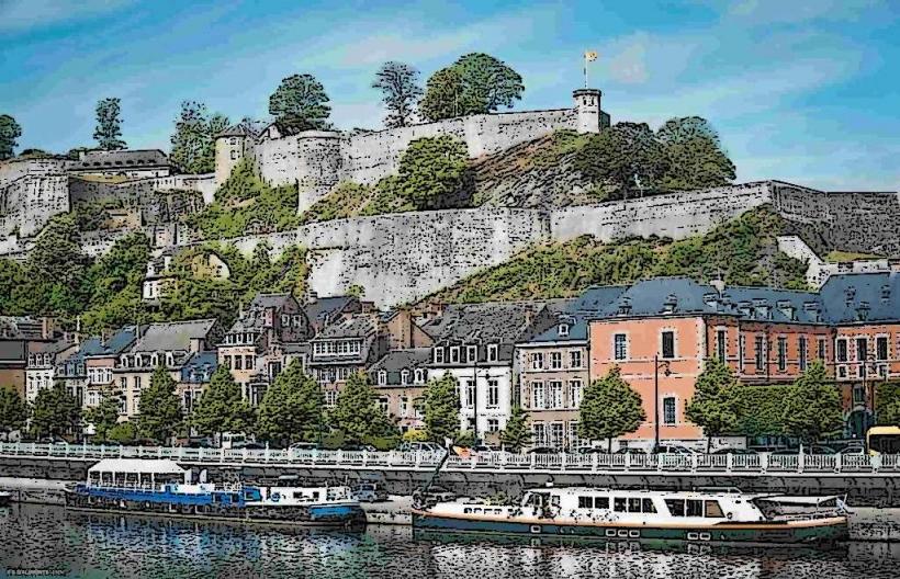
The Sambre is a major navigable river that flows through the city of Namur, joining the Meuse at a scenic confluence known as "Le Grognon."
Visual Characteristics
The river is characterized by its canalized, industrial-scale width and deep green water. In the center of Namur, the banks are lined with historic stone quays, the Parliament of Wallonia, and the looming walls of the Citadel. The river is spanned by several historic and modern bridges, including the Pont de France.
Location & Access Logistics
The river bisects the southern part of Namur's city center.
Access: The quays are fully accessible to pedestrians and cyclists.
Public Transport: 5-minute walk from Namur Railway Station.
Mobility: Flat, paved paths along the banks (Ravel network) are wheelchair accessible.
Historical Origin
The Sambre has been a strategic waterway since Roman times. During the Industrial Revolution, it was heavily modified and canalized to transport coal and steel from the Charleroi basin to the Meuse. The confluence at Namur (Le Grognon) was the birthplace of the city, serving as a defensive and commercial hub for the Counts of Namur since the 10th century.
Key Highlights & Activities
The Confluence (Le Grognon): The exact point where the Sambre meets the Meuse, recently renovated with a modern plaza and the "Enjambée" pedestrian bridge.
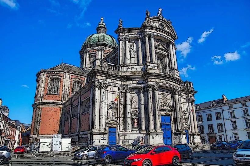
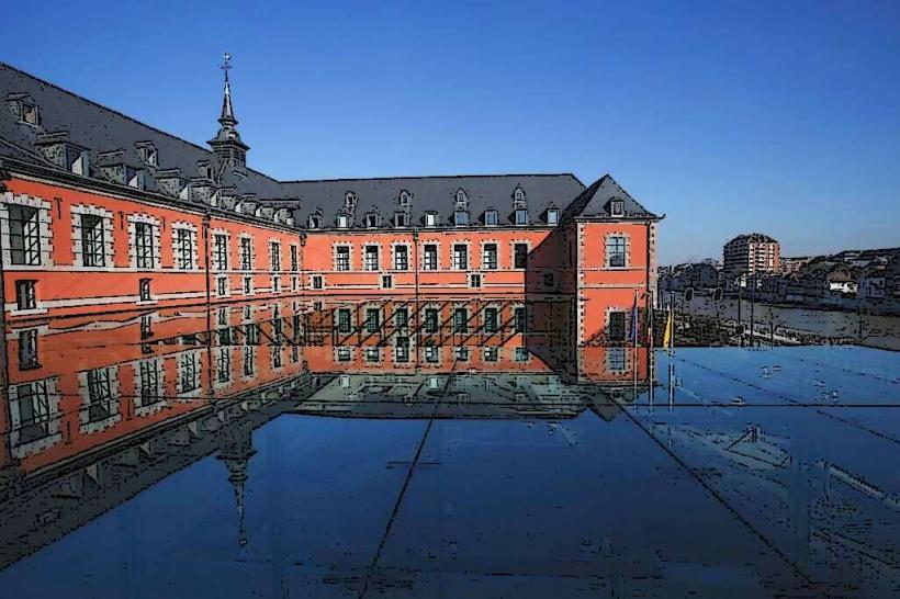
Parliament of Wallonia: Housed in the former Saint-Gilles hospital directly on the riverbank.
River Cruises: Sightseeing boats operate during the tourist season, offering tours of the Sambre and Meuse valleys.
RAVeL Network: The towpaths form part of a long-distance cycling and walking network (Route W4).
Infrastructure & Amenities
The riverbanks feature numerous benches, information panels, and docking points for pleasure craft. Public restrooms are located at the nearby Place de l'Ange or the Citadel visitor centers. 5G signal is robust along the entire city stretch.
Best Time to Visit
Accessible 24/7. Early morning offers calm water reflections of the Citadel, while evening provides a view of the illuminated bridges and the Parliament building.
Facts & Legends
A verified historical detail is that the Sambre was the site of significant military operations during World War I, particularly during the Battle of Charleroi. A local legend associated with the confluence suggests that the "Grognon" name (meaning "grumbler") refers to the noise of the water or the shape of a pig's snout formed by the land between the two rivers.
Nearby Landmarks
Citadel of Namur – Overlooking the south bank
Parliament of Wallonia – Directly on the bank
Namur Casino – 0.2km East
Grand-Place / Place d'Armes – 0.3km North