Information
Landmark: Saucon Rail TrailCity: Bethlehem
Country: USA Pennsylvania
Continent: North America
Saucon Rail Trail, Bethlehem, USA Pennsylvania, North America
The Saucon Rail Trail is a multi-use recreational path located in Bethlehem, Pennsylvania. It follows a former railway corridor, providing a linear green space for public use.
Visual Characteristics
The trail is primarily a paved asphalt surface, approximately 10 feet wide. It is bordered by mature deciduous trees and grasses, with occasional sections of open field. The terrain is generally flat with a gradual incline in some areas. The path is marked with milepost indicators.
Location & Access Logistics
The Saucon Rail Trail extends from the city of Bethlehem into Lower Saucon Township. Access points are located at various points along its length. The main trailhead is at the intersection of Main Street and Water Street in Bethlehem, approximately 1 mile south of the city center. Parking is available at the Main Street trailhead and at designated pull-offs in Lower Saucon Township. Public transport options are limited; the nearest bus stops are several blocks from the Main Street trailhead.
Historical & Ecological Origin
The trail is built on the former right-of-way of the Bethlehem Steel Corporation's railroad, which was used for industrial transport. The corridor was decommissioned and subsequently converted into a recreational trail, opening in phases starting in the early 2000s. Ecologically, it represents a reclaimed industrial landscape now supporting local flora and fauna.
Key Highlights & Activities
Activities include walking, jogging, cycling, and inline skating. Birdwatching is possible due to the surrounding vegetation. The trail connects to other local trail systems, allowing for longer excursions. No specific guided tours are offered.
Infrastructure & Amenities
Restrooms are available at the Main Street trailhead. Benches are situated at intervals along the path. Shade is provided by the tree canopy in many sections. Cell phone signal (4G/5G) is generally consistent along the trail. No food vendors are directly on the trail; amenities are available in nearby commercial areas of Bethlehem.
Best Time to Visit
For optimal lighting for photography, early morning or late afternoon is recommended. The best months for weather are typically April through October. No tide considerations apply.
Facts & Legends
A unique aspect of the trail's history is its connection to Bethlehem Steel's industrial output, which significantly shaped the region's economy. A specific tip for visitors is to look for remnants of old railway infrastructure, such as concrete abutments and occasional track fragments, particularly in the sections closer to Bethlehem.
Nearby Landmarks
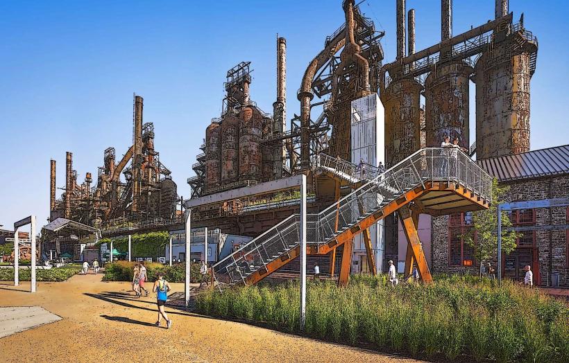
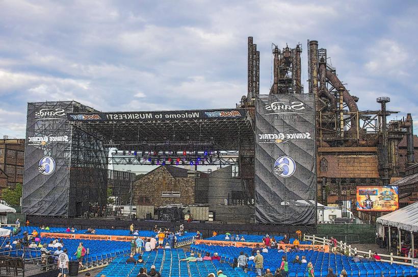
- SteelStacks (1.5km Northwest)
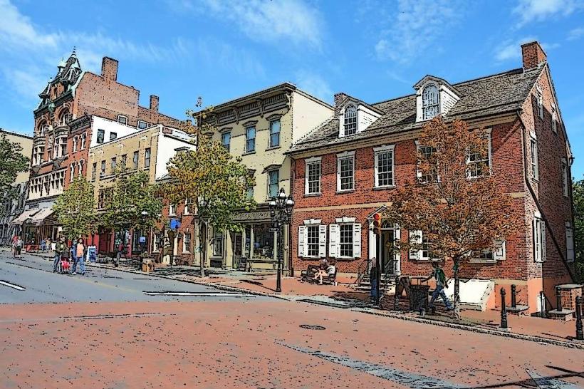
- Historic Bethlehem (1.2km Northwest)
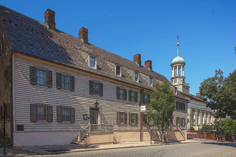
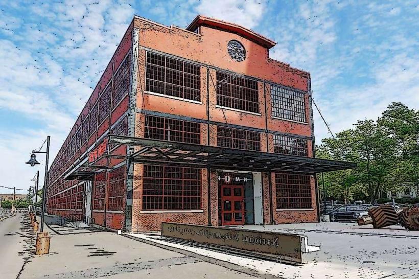
- Moravian Museum of Bethlehem (1.8km Northwest)
- Lehigh River (1.0km West)