Information
Landmark: Selma To Montgomery National Historic TrailCity: Selma
Country: USA Alabama
Continent: North America
Selma To Montgomery National Historic Trail, Selma, USA Alabama, North America
The Selma to Montgomery National Historic Trail is a 54-mile route in Alabama, USA, commemorating the 1965 voting rights marches.
Visual Characteristics
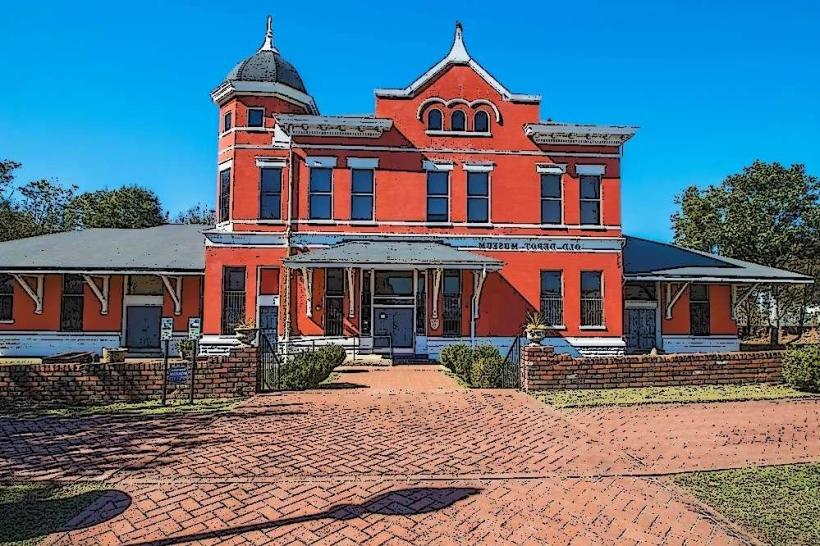
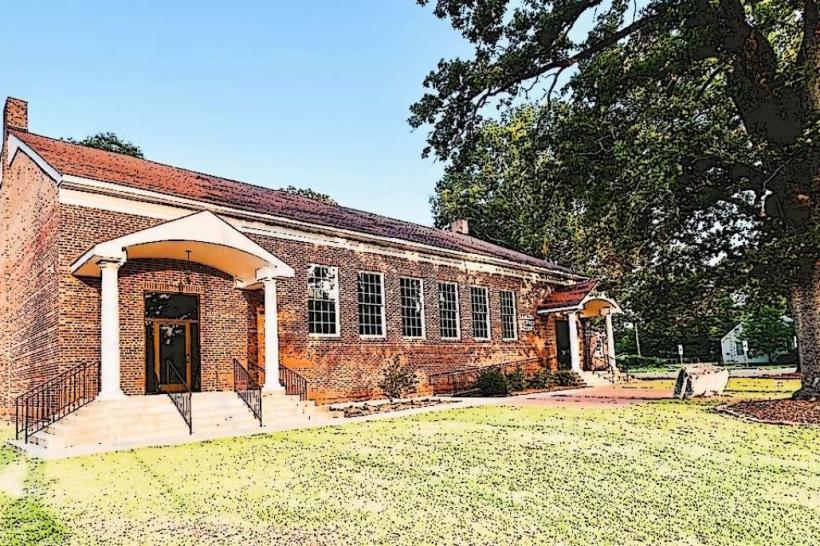
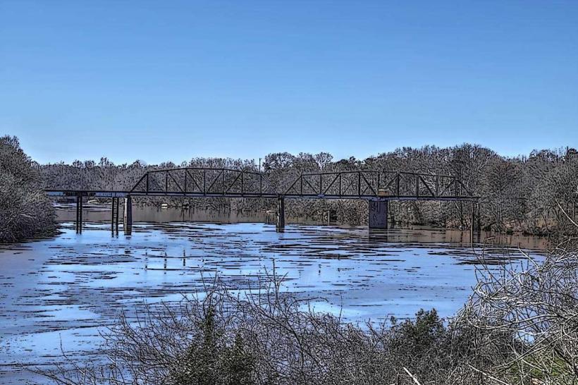
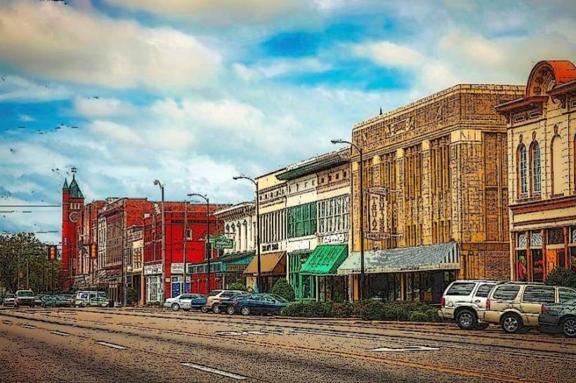
The trail follows existing roadways, primarily U.S. Highway 80, connecting Selma to Montgomery. The landscape consists of rural Alabama terrain, including agricultural fields, wooded areas, and small towns. Key points along the trail are marked with interpretive signs and historical markers.
Location & Access Logistics
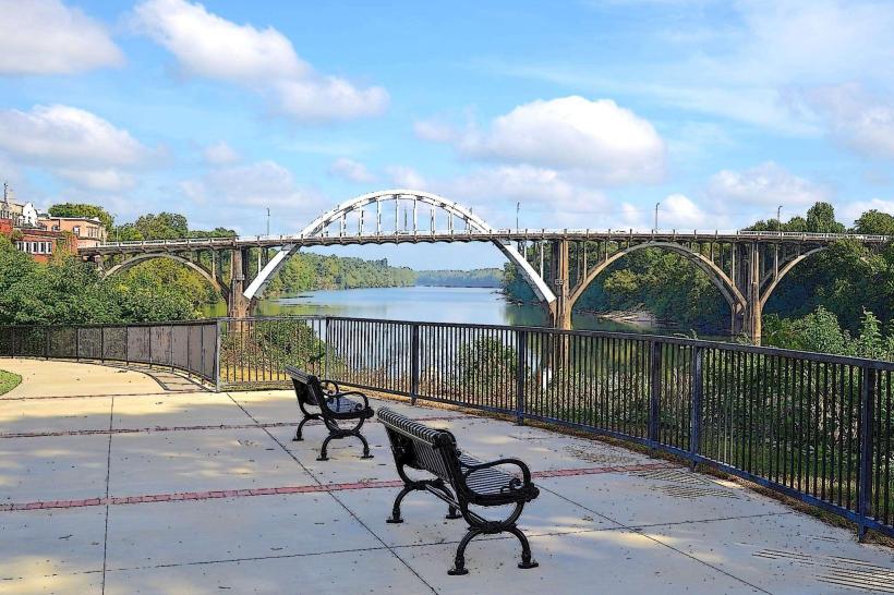
The trail begins in Selma, Alabama, at the Edmund Pettus Bridge. Access points are distributed along U.S. Highway 80 East towards Montgomery. Driving is the primary mode of access. Parking is available at designated visitor centers and historical sites along the route. Public transportation is not available for direct trail traversal.
Historical & Ecological Origin
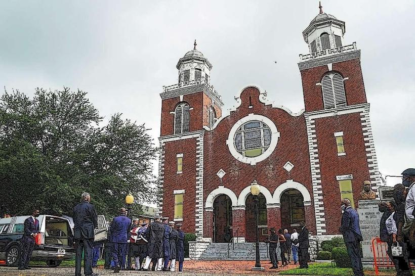
The trail's significance stems from the 1965 Selma to Montgomery voting rights marches, a pivotal event in the Civil Rights Movement. The route traverses the Black Belt region of Alabama, characterized by fertile Black Belt soil, historically used for agriculture.
Key Highlights & Activities
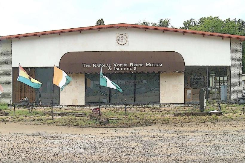
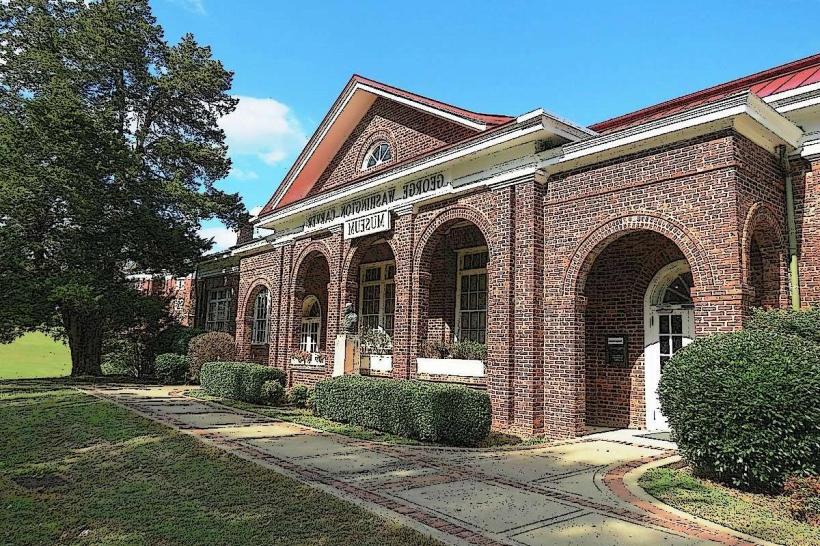
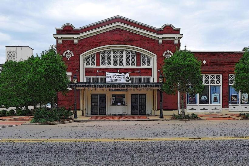
Visitors can drive the route, stopping at interpretive centers and historical markers. The Edmund Pettus Bridge is a primary stop. The National Voting Rights Museum and the Selma Interpretive Center offer detailed historical context. Hiking and cycling are possible on sections of the trail, particularly on the shoulders of U.S. Highway 80 where safe.
Infrastructure & Amenities
Restrooms are available at the Edmund Pettus Bridge, the Selma Interpretive Center, and the Lowndes Interpretive Center. Shade is limited along the open road sections. Cell phone signal is generally available but can be intermittent in rural areas. Food vendors are not directly on the trail but are present in Selma and Montgomery.
Best Time to Visit
The best time for driving the trail is during daylight hours for optimal visibility of markers and scenery. Spring (March-May) and Fall (September-November) offer moderate temperatures. The anniversary of the marches, March 7th, is a significant date for commemorative events.
Facts & Legends
The Edmund Pettus Bridge is named after a former Confederate brigadier general and U.S. Senator. The "Bloody Sunday" confrontation on March 7, 1965, occurred on this bridge, a key event that galvanized national support for voting rights legislation.
Nearby Landmarks
- 0.1km West: Edmund Pettus Bridge
- 1.5km East: National Voting Rights Museum & Institute (Selma)
- 2.0km East: Selma Interpretive Center
- 25.0km East: First White House of the Confederacy (Montgomery)
- 27.0km East: Dexter Avenue King Memorial Baptist Church (Montgomery)