Information
Landmark: Slea Head DriveCity: Dingle
Country: Ireland
Continent: Europe
Slea Head Drive, Dingle, Ireland, Europe
Slea Head Drive is a 47km (30-mile) circular coastal route starting and ending in Dingle Town. It forms part of the Wild Atlantic Way and is defined by narrow cliffside roads, high-density archaeological sites, and views of the Blasket Islands.
Visual Characteristics
The route traverses the westernmost tip of the Dingle Peninsula.
Topography: The road is carved into the steep slopes of Mount Eagle, frequently bordering vertical drops into the Atlantic.
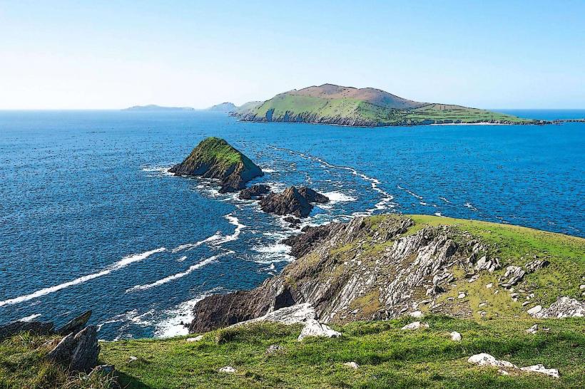
Seascape: Features the Blasket Islands (An Blascaod Mór) and the volcanic "Dead Man" island (Inishtooskert).
Coastal Points: Includes the white sands of Coumeenoole Beach and the jagged cliffs of Dunmore Head.
Location & Access Logistics
Route Code: R559.
Direction: Mandatory Clockwise. Drivers must travel clockwise to manage traffic flow, as the road is too narrow for large tour buses to pass oncoming vehicles in many sections.
Transit: Private vehicle, motorcycle, or bicycle. Total driving time without stops is approximately 1.5 hours; 3–5 hours are required for site visits.
Parking: Small, designated pull-offs are located at major viewpoints. Coumeenoole and Dunquin Pier have limited capacity.
Accessibility: Viewpoints are accessible from the roadside. Most historical sites (Beehive Huts, Reask) require traversing uneven, grassy paths.
Historical & Archaeological Origin
Prehistoric Era: Features the Dunbeg Promontory Fort, an Iron Age defensive structure built on a collapsing cliff edge.
Early Medieval: Home to the Fahan Beehive Huts (Clocháns), dry-stone monastic dwellings built without mortar.
Literary History: Overlooks the Blasket Islands, which produced a significant body of Irish-language literature (e.g., The Peig Sayers, The Islandman).
Key Discovery Points
Ventry Strand: A long, sheltered beach and site of the mythological Battle of Ventry.
Coumeenoole Beach: A high-velocity surf beach (swimming is prohibited due to dangerous rip currents).
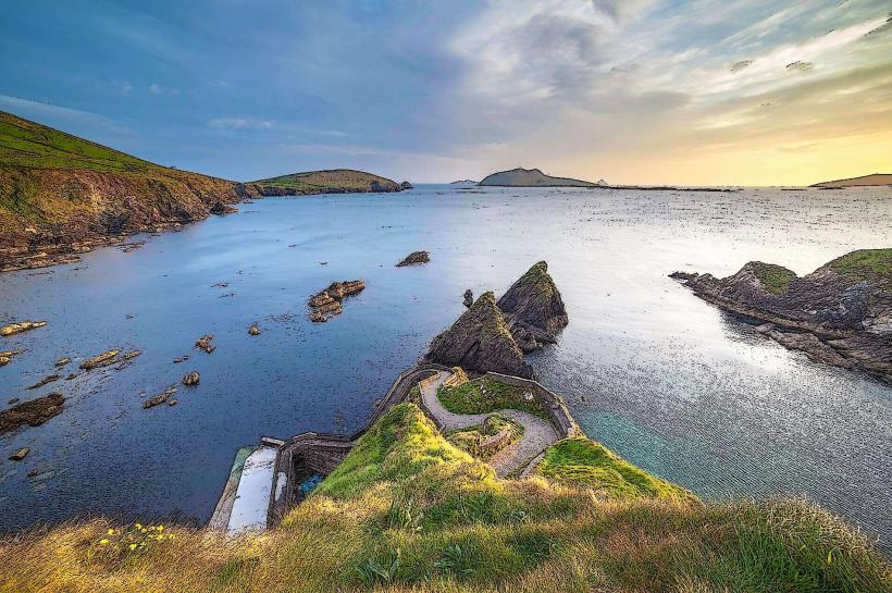
Dunquin Pier: Noted for its steep, zigzagging pedestrian ramp used by ferry passengers and sheep farmers.
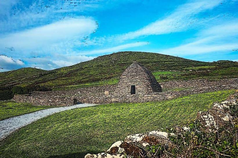
Gallarus Oratory: An intact 8th-century dry-stone church shaped like an inverted boat.
Infrastructure & Amenities
Facilities: Minimal. Most services are concentrated in Dingle Town. Small seasonal cafés operate near Dunquin and Ventry.
Sanitation: Public restrooms are available at the Blasket Centre in Dunquin and in Dingle Town.
Connectivity: 4G/5G signal is intermittent. Mountain shadows cause total signal loss at the base of Mount Eagle.
Best Time to Visit
Timing: Before 10:00 to avoid tour bus convoys.
Photography: Sunset at Dunmore Head, the westernmost point of the Irish mainland.
Weather: High exposure to Atlantic gale-force winds. The road can be hazardous during heavy rain or sea mists (haar) which reduce visibility to <50 meters.
Facts & Legends
A verified technical detail: The route passes the "Crucifixion" statue at Slea Head, which was erected to protect local fishermen. The area served as the primary filming location for Ryan's Daughter (1970) and segments of Star Wars: The Last Jedi (2017) at Dunmore Head.
Nearby Landmarks
The Blasket Centre – Dunquin
Mount Brandon – North of the loop
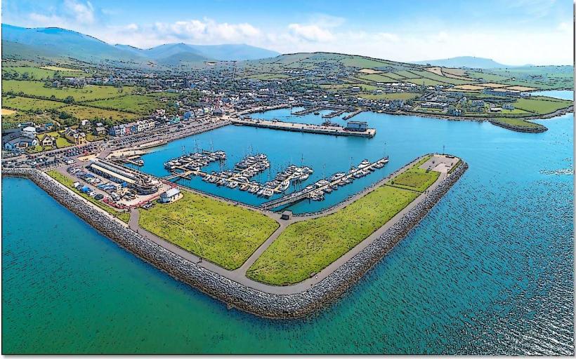
Dingle Town – Start/End point
Conor Pass – Northeast of the loop