Information
Landmark: Snake RiverCity: Lewiston
Country: USA Idaho
Continent: North America
Snake River, Lewiston, USA Idaho, North America
The Snake River is a major river in the northwestern United States, flowing through Lewiston, Idaho. It is a significant waterway for transportation and recreation in the region.
Visual Characteristics
The Snake River in Lewiston is characterized by its wide, slow-moving waters, typically appearing brown or grey due to sediment load. The riverbanks are generally lined with a mix of riparian vegetation, including cottonwood trees and willows, interspersed with urban development and agricultural land. The river's width can vary, but it is substantial, supporting barge traffic.
Location & Access Logistics
The Snake River flows through Lewiston, Idaho. Access points are numerous along the Lewiston Levee Parkway, which runs parallel to the river. The parkway is accessible from various city streets, including Bryden Avenue and Snake River Avenue. Parking is available along the parkway at designated pull-offs and parking areas. Public transport options are limited directly to the riverfront, but city bus routes serve the adjacent urban areas.
Historical & Ecological Origin
The Snake River is the longest tributary of the Columbia River. Its formation is a result of complex geological processes over millions of years, including volcanic activity and erosion. Historically, the river has been a vital transportation route, particularly for steamboats in the late 19th and early 20th centuries, facilitating trade and settlement in the region. The Lewiston area is part of the Columbia Plateau, shaped by ancient lava flows and subsequent riverine erosion.
Key Highlights & Activities
Activities include fishing for species such as steelhead, salmon, and sturgeon. Boating, including kayaking and jet skiing, is common. The Lewiston Levee Parkway offers opportunities for walking, cycling, and birdwatching. Guided fishing charters are available.
Infrastructure & Amenities
Restrooms are available at various points along the Lewiston Levee Parkway. Shade is provided by mature trees in park areas. Cell phone signal (4G/5G) is generally strong in Lewiston and along the accessible riverfront. Food vendors are not typically located directly on the riverfront but are available in nearby commercial areas of Lewiston.
Best Time to Visit
For fishing, the fall months (September-November) are often optimal for anadromous fish runs. Summer months (June-August) offer the warmest weather for recreational boating. Mid-morning to late afternoon provides consistent daylight for general observation and activity.
Facts & Legends
The Snake River is known for its significant role in the Lewis and Clark Expedition, which navigated portions of the river. A specific local tip is to check the U.S. Army Corps of Engineers' river flow data, as conditions can change, impacting boating and fishing.
Nearby Landmarks
- Clearwater River Confluence (0.8km West)
- Lewiston Hill (2.5km Southeast)
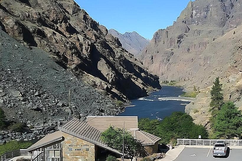
- Hells Gate State Park (12km Southwest)
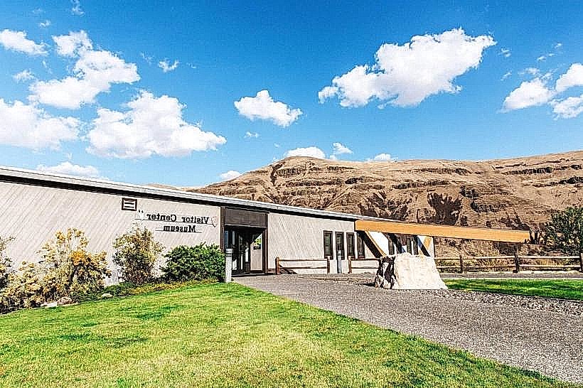
- Nez Perce National Historical Park - Spalding (25km East)