Information
Landmark: Struga BridgeCity: Bitola
Country: North Macedonia
Continent: Europe
Struga Bridge, Bitola, North Macedonia, Europe
The Struga Bridge is a pedestrian and vehicular crossing spanning the Dragor River in the central district of Bitola, North Macedonia.
It serves as a key connection between the city's commercial areas and historical sites.
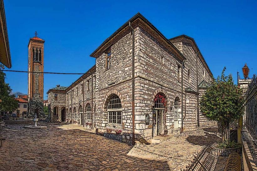
Visual Characteristics
The bridge is constructed primarily from cut stone blocks, featuring three distinct arches. Its surface is paved with asphalt for vehicular traffic and stone slabs for pedestrian walkways on either side. The bridge measures approximately 30 meters in length and 12 meters in width, with stone balustrades lining both edges. The color palette is predominantly grey and beige from the natural stone, with some darker weathering visible on the lower sections.
Location & Access Logistics
The Struga Bridge is centrally located in Bitola, approximately 0.8 kilometers east of the city center's main square, Magnolia Square. It connects Marshal Tito Street on the west bank with Goce Delchev Street on the east bank. Public parking is available in designated zones within 200 meters of the bridge, with metered street parking and a small paid lot near the Old Bazaar. Bitola's local bus lines, including routes 1 and 2, have stops within a 150-meter radius, providing access from various city neighborhoods.
Historical & Ecological Origin
The current iteration of the Struga Bridge was constructed in the early 20th century, replacing an earlier wooden structure. Its primary purpose was to facilitate trade and movement between the expanding commercial district and the residential areas across the Dragor River. The bridge's design reflects typical Ottoman-era stone bridge construction principles, adapted with early 20th-century engineering for increased load capacity.
Key Highlights & Activities
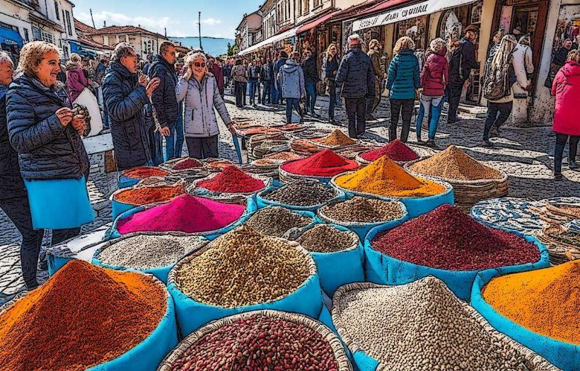
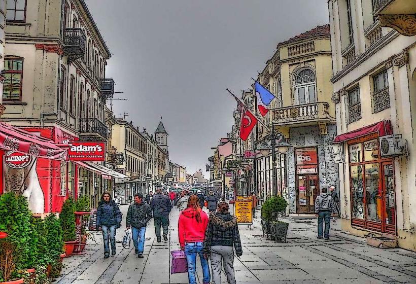
Crossing the Struga Bridge offers direct access to the Old Bazaar on the east bank and the pedestrian zone of Shirok Sokak on the west bank. Photography of the Dragor River and the surrounding cityscape is possible from the bridge's walkways. It functions as a primary pedestrian thoroughfare, connecting key urban points.
Infrastructure & Amenities
Public restrooms are available in nearby commercial establishments within 100 meters of the bridge. There is no dedicated shade structure directly on the bridge itself, but shade is available from adjacent buildings. Cell phone signal (4G/5G) is consistently strong across the bridge. Multiple food vendors, cafes, and restaurants are located immediately adjacent to both ends of the bridge.
Best Time to Visit
The bridge is accessible year-round. For photography, early morning (07:00-09:00) or late afternoon (17:00-19:00) provides optimal natural light, minimizing harsh shadows. The months of May, June, September, and October offer the most favorable weather conditions, with moderate temperatures and less precipitation. No specific tide requirements apply as the Dragor River is not tidal.
Facts & Legends
Local lore suggests that the central arch of the Struga Bridge was built using stones from an older, smaller bridge that once stood further upstream. A common local tip is to observe the river flow from the bridge's center; during heavy rains, the Dragor River can rise significantly, showcasing the bridge's robust construction against strong currents.
Nearby Landmarks
- Shirok Sokak: 0.1km West
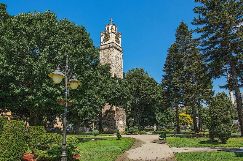
- Clock Tower (Saat Kula): 0.3km North-West
- Old Bazaar (Stara Čaršija): 0.1km East
- Magnolia Square: 0.8km West
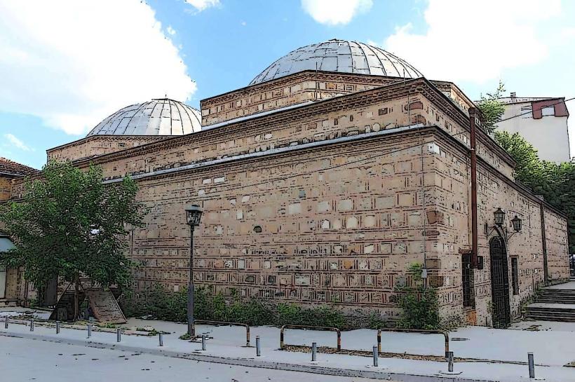
- Isak Beg Mosque (Yeni Mosque): 0.4km North-East