Information
Landmark: Sunda Kelapa HarborCity: Jakarta
Country: Indonesia
Continent: Asia
Sunda Kelapa Harbor, Jakarta, Indonesia, Asia
Sunda Kelapa Harbor is a historic port located in North Jakarta, Indonesia. It serves as a crucial hub for traditional sailing vessels and maritime trade.
Visual Characteristics
The harbor is characterized by the presence of numerous traditional Indonesian schooners, primarily Pinisi boats, with their distinctive tall masts and sails. The waterfront infrastructure consists of concrete docks and warehouses, some showing signs of age. The water color varies from murky brown to greenish depending on tidal conditions and sediment load. The surrounding area is a mix of port facilities and urban development.
Location & Access Logistics
Sunda Kelapa Harbor is situated approximately 8 kilometers northwest of Jakarta's city center. Access is via Jalan Pasar Ikan. Vehicle access is permitted, and limited parking is available within the port area, often managed by local attendants. Public transportation options include TransJakarta bus routes that stop near the Fatahillah Square area, requiring a short walk or taxi ride to the harbor itself. Angkot (minibuses) also operate in the vicinity.
Historical & Ecological Origin
Sunda Kelapa was the original name of the port city, established in the 12th century. It served as the primary trading port for the Kingdom of Sunda. In 1527, it was conquered by Fatahillah and renamed Jayakarta, which later evolved into Jakarta. The harbor's ecological origin is a natural bay on the northern coast of Java, shaped by coastal processes and riverine sediment deposition over millennia.
Key Highlights & Activities
Observation of traditional boat building and repair activities. Photography of the Pinisi schooners. Walking along the docks to observe the daily operations of the port. Visiting the Maritime Museum (Museum Bahari) located adjacent to the harbor. Purchasing fresh fish from local vendors.
Infrastructure & Amenities
Basic restroom facilities are available near the main entrance and the Maritime Museum. Shade is limited, primarily provided by the awnings of warehouses and the sails of docked boats. Cell phone signal (4G/5G) is generally available. Food vendors selling local snacks and drinks are present near the museum and along the main access road.
Best Time to Visit
The best time of day for photography is early morning (06:00-09:00) when the light is soft and the port is most active. The best months for weather are during the dry season, from June to September, to minimize the chance of heavy rainfall. Tidal conditions do not significantly impact general access, but can affect the water level near the docks.
Facts & Legends
A unique historical oddity is that the harbor has continuously served as a port for over 800 years, making it one of the oldest continuously operating ports in the world. A local tip is to arrive early to witness the unloading of fish catches and the bustling morning trade.
Nearby Landmarks
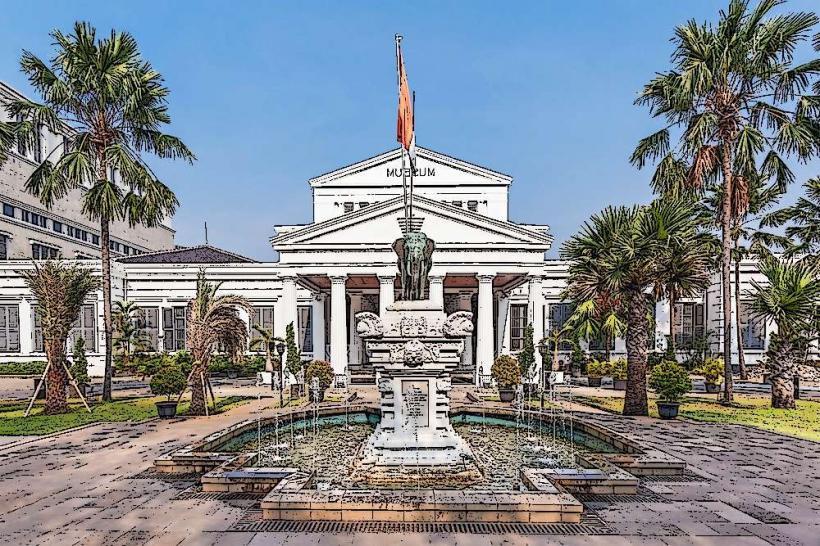
- Museum Bahari (Maritime Museum) - 0.1km West
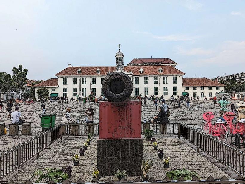
- Fatahillah Square - 0.8km South
- Sunda Kelapa Old Town - 0.2km West
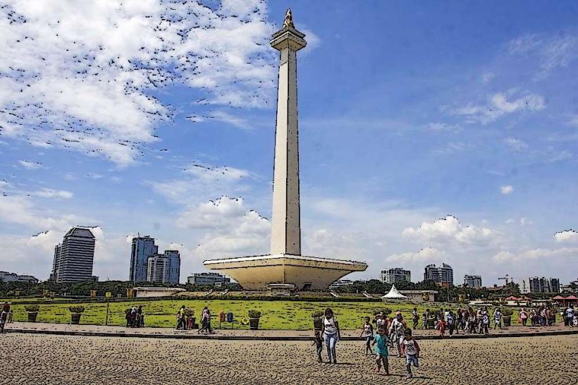
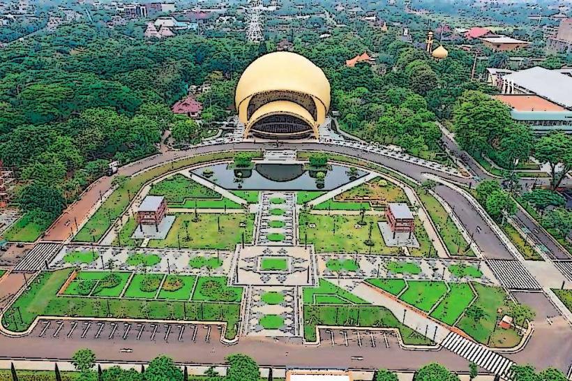
- National Museum of Indonesia - 5.0km Southwest
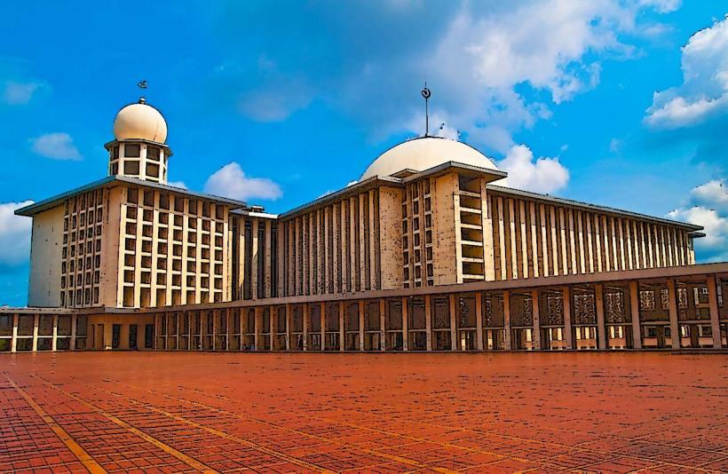
- Istiqlal Mosque - 4.5km Southwest