Information
Landmark: Talassemtane National ParkCity: Chefchaouen
Country: Morocco
Continent: Africa
Talassemtane National Park, Chefchaouen, Morocco, Africa
Talassemtane National Park is a protected area located in the Rif Mountains of northern Morocco, west of the city of Chefchaouen.
Visual Characteristics
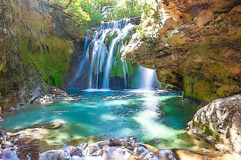
The park is characterized by steep, rugged terrain with elevations ranging from 600 to 1,900 meters. It features limestone cliffs, deep gorges, and plateaus covered in Mediterranean vegetation. Dominant tree species include cedar, pine, and oak. Watercourses, such as the Oued Laou, carve through the landscape, creating narrow valleys.
Location & Access Logistics
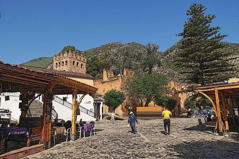
The park is situated approximately 20 kilometers west of Chefchaouen. Access is primarily via the P4002 road, which connects Chefchaouen to towns like Oued Laou. Several unpaved tracks branch off this main road, leading to trailheads and viewpoints. Parking is limited and often informal at trail access points. Public transport directly into the park is not available; visitors typically arrange private transport or taxis from Chefchaouen.
Historical & Ecological Origin
Talassemtane National Park was established in 2004 to protect its significant biodiversity and geological formations. Ecologically, it is classified as a Mediterranean forest and shrubland biome. The region's geology is primarily karst, formed by the dissolution of soluble rocks like limestone, resulting in sinkholes, caves, and underground rivers.
Key Highlights & Activities
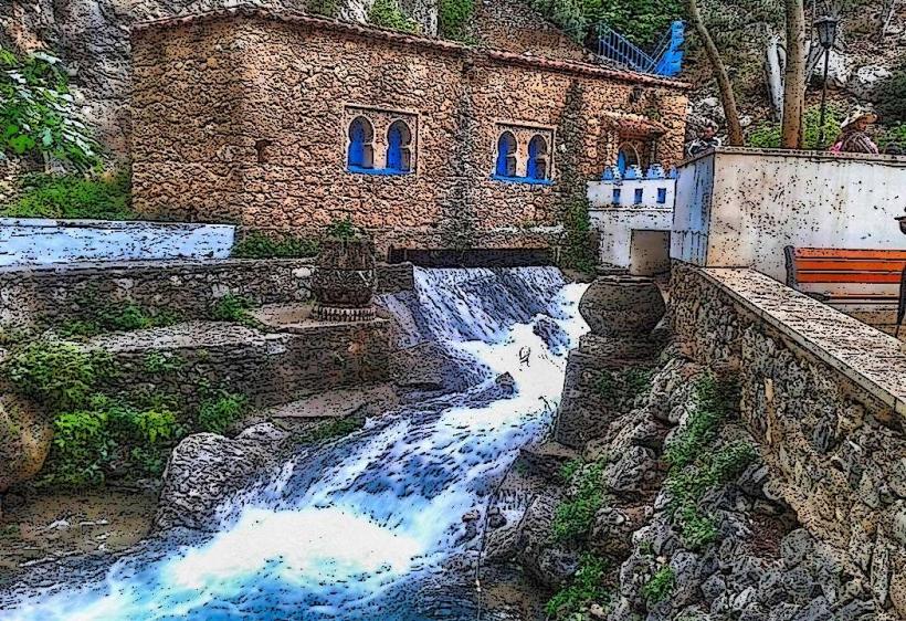
Hiking is the primary activity, with marked trails such as the route to the Akchour Waterfalls and the Bridge of God (a natural rock arch). Birdwatching is possible, with species including raptors and passerines. Rock climbing opportunities exist on the limestone cliffs. Photography of the natural landscapes and geological features is also a common pursuit.
Infrastructure & Amenities
Basic infrastructure is present in the vicinity of popular sites like Akchour, including small cafes and food stalls. Restrooms are available at these designated areas. Shade is provided by the natural tree cover. Cell phone signal can be intermittent within the park, particularly in deeper valleys.
Best Time to Visit
The best months for visiting are spring (March to May) and autumn (September to November) when temperatures are moderate and vegetation is at its most vibrant. Midday sun can be intense, making early morning or late afternoon ideal for hiking and photography. Access to certain trails may be affected by rainfall, particularly during winter months.
Facts & Legends
The Bridge of God is a natural rock formation spanning a river gorge. Local folklore suggests it was created by divine intervention to allow passage. The park is also known for its population of Barbary macaques.
Nearby Landmarks
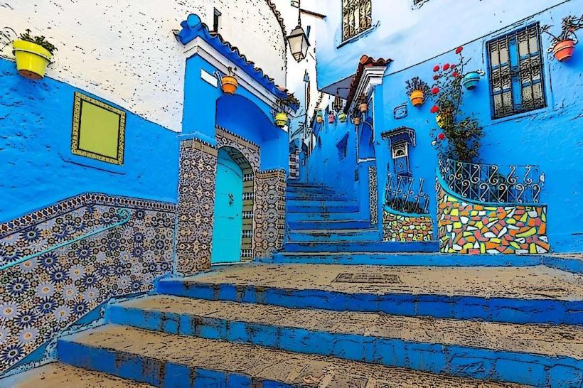
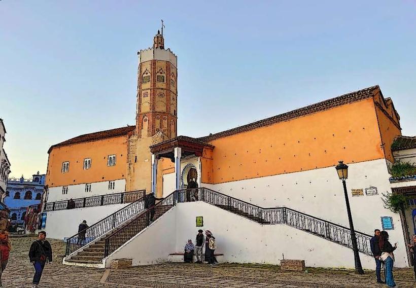
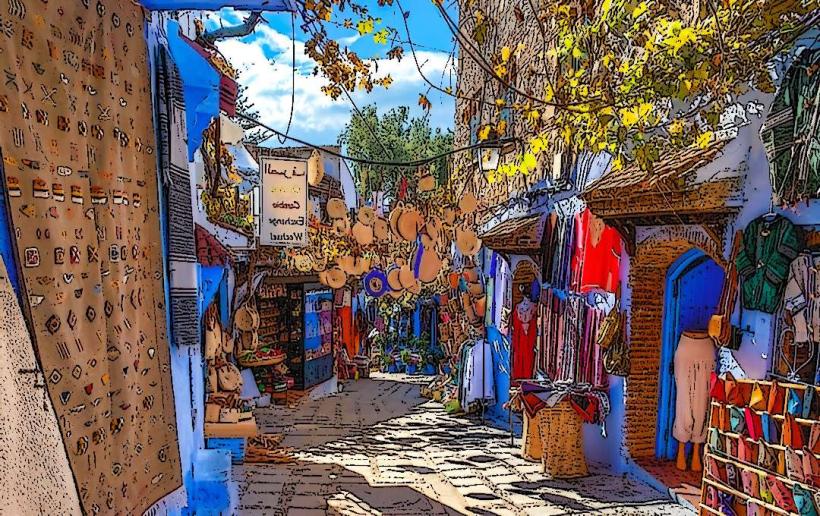
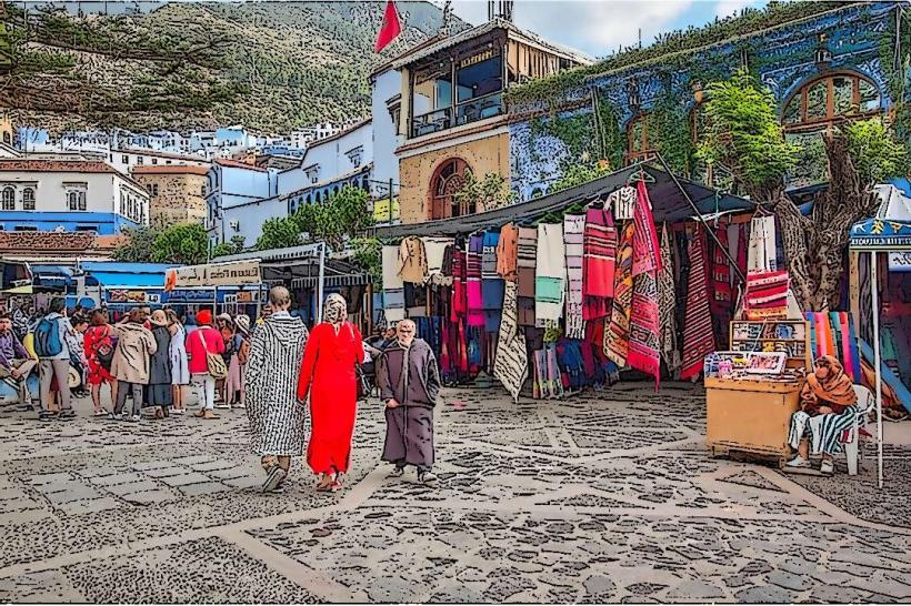
- Chefchaouen Medina (15km East)
- Akchour Waterfalls (5km West)
- Oued Laou River (Adjacent)
- Jbel Lakraa (10km North-West)