Information
Landmark: Tarma ValleyCity: Tarma
Country: Peru
Continent: South America
Tarma Valley, Tarma, Peru, South America
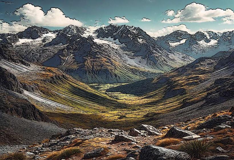
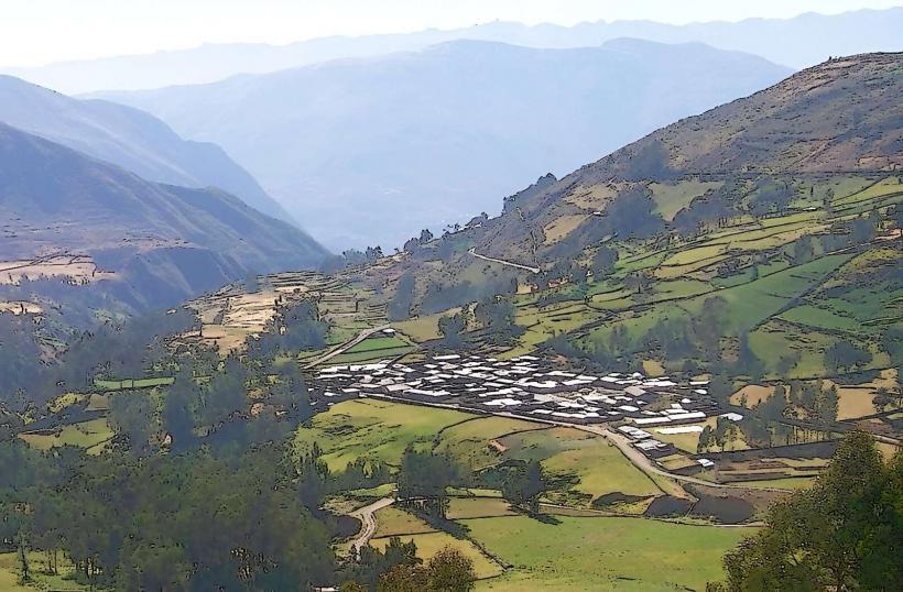
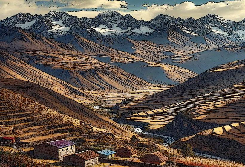
The Tarma Valley is a geographical depression located in the Junín Region of Peru, situated east of the city of Tarma.
Visual Characteristics
The valley floor is characterized by agricultural terraces, primarily cultivating potatoes, corn, and various fruits. The slopes are covered with a mix of native grasses and scattered shrubs, with pine plantations visible at higher elevations. The valley is bisected by the Tarma River, a tributary of the Mantaro River, which exhibits a brown, sediment-laden appearance during the rainy season and a clearer flow during drier periods.
Location & Access Logistics
The Tarma Valley is accessible via the Carretera Central (National Route PE-22), which connects Lima to La Oroya and continues towards Tarma. The valley begins approximately 5 kilometers east of the city of Tarma. Road access is paved and well-maintained. Parking is available at designated pull-offs along the Carretera Central and in small villages within the valley. Public transport options include local buses and colectivos operating between Tarma and surrounding communities.
Historical & Ecological Origin
The valley's agricultural terraces are believed to have been constructed by pre-Inca cultures, with significant expansion and refinement during the Inca Empire for food production and land management. Ecologically, the valley is part of the Andean dry puna ecoregion, characterized by semi-arid conditions and high-altitude grasslands.
Key Highlights & Activities
Hiking along the agricultural terraces provides views of the valley's cultivation patterns. Visiting local farms offers insight into traditional agricultural practices. Exploring the small villages within the valley allows for observation of local life. The Tarma River is suitable for observing aquatic life, though not for recreational swimming due to water quality and flow.
Infrastructure & Amenities
Restrooms are available in some of the larger villages within the valley, typically at local markets or restaurants. Shade is limited to natural tree cover and structures in villages. Cell phone signal (4G/5G) is intermittent, with better reception in populated areas. Food vendors are present in villages, offering local produce and prepared meals.
Best Time to Visit
The best time for photography is during the early morning or late afternoon when the sun angle creates defined shadows on the terraces. The dry season, from May to October, offers the most stable weather conditions with less rainfall. High tide is not applicable to this inland valley.
Facts & Legends
Local folklore suggests that the valley's fertility is protected by ancient spirits who reside in the rock formations. A verified historical oddity is the valley's historical role as a significant agricultural producer for the Inca Empire, supplying food to distant regions.
Nearby Landmarks
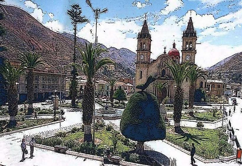
- Gruta de Huagapo (0.8km West)
- Tarma City Center (5km West)
- Laguna de Paca (12km Northwest)
- San Jerónimo de Tunan (25km Southwest)