Information
Landmark: Tarutao National Marine ParkCity: Trang
Country: Thailand
Continent: Asia
Tarutao National Marine Park, Trang, Thailand, Asia
Tarutao National Marine Park is an archipelago located in the Andaman Sea, off the coast of Satun Province, Thailand.
This protected area comprises 51 islands, with Tarutao and Adang-Rawi being the largest.
Visual Characteristics
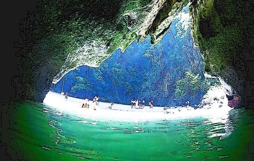
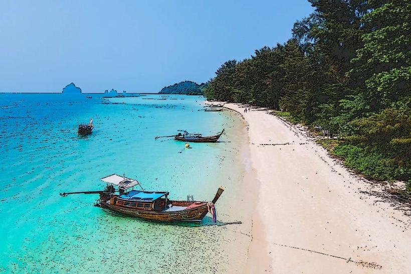
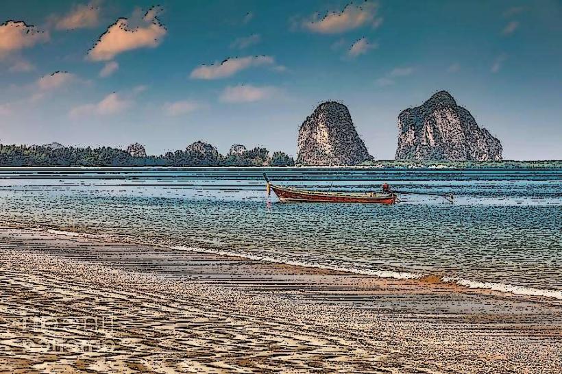
The islands are characterized by limestone karst formations, dense tropical rainforest, and extensive coral reefs. Beaches consist of fine white sand. The waters surrounding the islands are clear, varying in color from turquoise to deep blue depending on depth and light conditions. Vegetation includes mangrove forests along the coast and evergreen forests inland.
Location & Access Logistics
The park is situated approximately 100 kilometers west of Satun town. Access is primarily via ferry or speedboat from Pak Bara Pier in La Ngu District, Satun Province. Ferries to Koh Tarutao and Koh Adang depart daily, with journey times ranging from 1.5 to 3 hours depending on the vessel and destination. Private boat charters are also available. There is no direct road access to the islands.
Historical & Ecological Origin
Tarutao was designated a National Marine Park in 1974. Historically, Koh Tarutao served as a penal colony from 1936 to 1944. Ecologically, the park is part of the Sundaland biodiversity hotspot, featuring a mix of marine and terrestrial ecosystems. The islands are primarily composed of sedimentary rocks, including limestone, formed millions of years ago.
Key Highlights & Activities
Activities include snorkeling and diving around coral reefs, particularly near Koh Adang and Koh Rawi. Hiking trails are available on Koh Tarutao, such as the trail to Lo Po Bay. Kayaking through mangrove channels is possible. Wildlife observation, including birdwatching and primate spotting, is also a focus. Camping facilities are present on several islands.
Infrastructure & Amenities
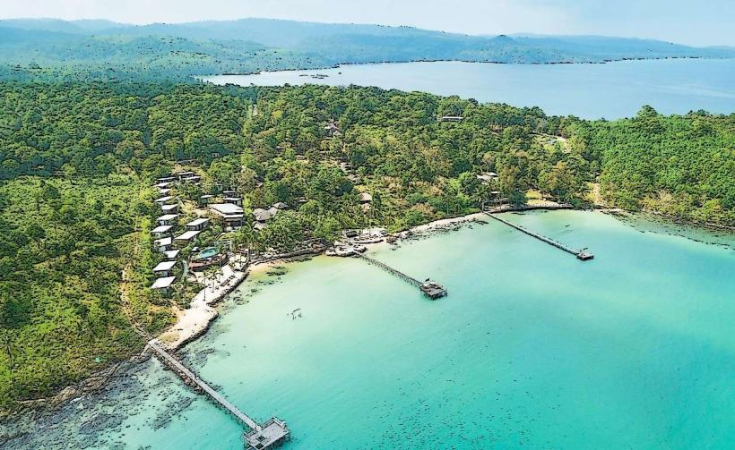
Basic facilities are available on Koh Tarutao and Koh Adang, including park ranger stations, designated camping areas, and a limited number of bungalows for rent. Restrooms and basic food stalls are located at the main piers and park headquarters. Cell phone signal is intermittent and generally weak across the park.
Best Time to Visit
The dry season, from November to April, offers the most favorable weather conditions with calm seas and clear skies. The best time of day for underwater photography is generally between 10:00 AM and 2:00 PM when sunlight penetration is optimal. High tide is preferable for accessing certain shallow snorkeling spots.
Facts & Legends
A notable historical event occurred in 1941 when a group of prisoners on Koh Tarutao revolted and seized a Japanese merchant ship, the "Nissim Elias," leading to a significant naval engagement. Local folklore speaks of spirits guarding the islands' natural resources.
Nearby Landmarks
- Koh Lipe (0.5km West)
- Adang-Rawi Archipelago (1km West)
- Mu Ko Phetra National Park (30km North)
- Satun Geopark (40km East)
- Langkawi, Malaysia (50km Southwest)