Information
Landmark: Tell AbilaCity: Irbid
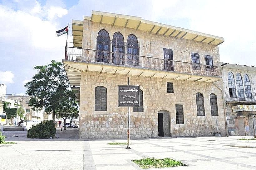
Country: Jordan
Continent: Asia
Tell Abila, Irbid, Jordan, Asia
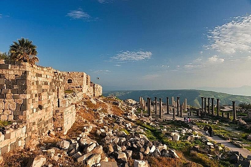
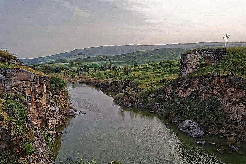
Tell Abila is an extensive archaeological site located in the Quwaylibah Valley, approximately 13 kilometers north of Irbid, Jordan. It represents one of the major cities of the Decapolis, situated along the southern bank of the Yarmouk River.
Visual Characteristics
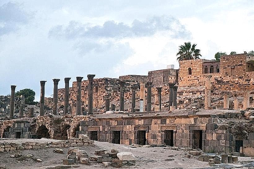
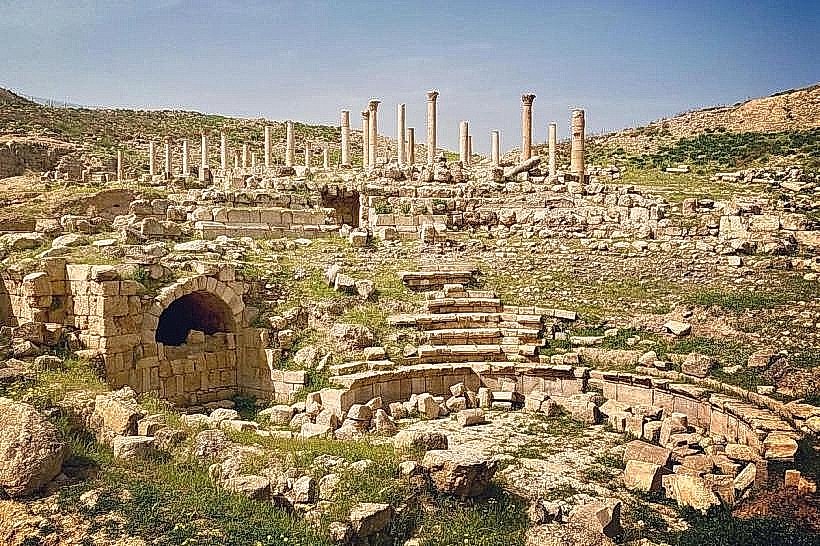
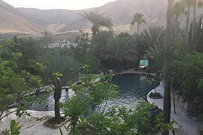
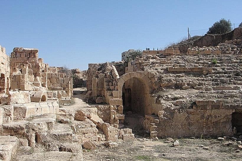
The site comprises two primary mounds, Tell Abila and Tell Umm el-Amad, featuring limestone and basalt ruins. Structures include the remains of five Byzantine churches, a Roman-era theater, and a monumental bridge. The landscape is characterized by steep olive-covered slopes, exposed cave dwellings, and ancient water tunnels carved into the bedrock.
Location & Access Logistics
The site is accessed via the Hartha road, roughly a 20-minute drive north from the city of Irbid. Visitors can reach the entrance by private vehicle; there is no formal parking lot, but space is available on the dirt tracks near the Quwaylibah spring. Public transport is limited to minibuses from Irbid to the village of Hartha, followed by a 2-kilometer walk to the ruins.
Historical & Ecological Origin
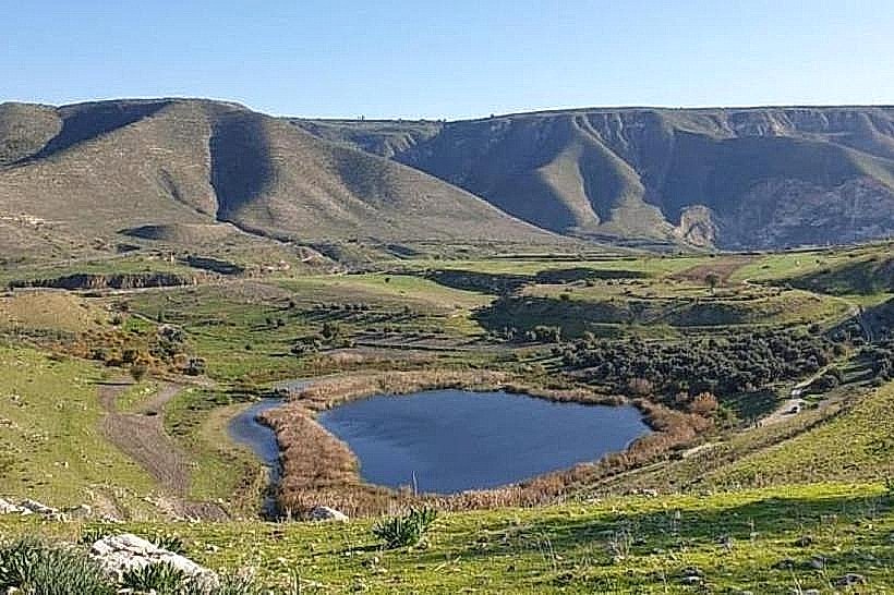
Abila was inhabited from the Early Bronze Age through the Islamic periods, peaking as a major civic center during the Roman and Byzantine eras. It served as a bishopric and a center for agricultural trade due to the fertile soils of the Hartha plateau. Geologically, the site sits on a limestone formation with a perennial spring that has sustained continuous settlement for over 5,000 years.
Key Highlights & Activities
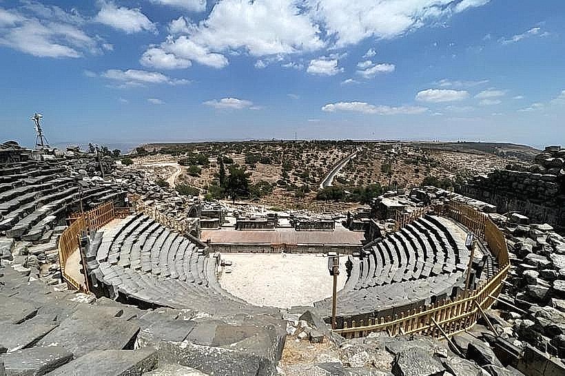
Exploration of the 6th-century five-aisle basilica on Tell Umm el-Amad is a primary activity. Visitors can walk through the remains of the Roman theater and examine the elaborate frescoes inside the Qwilbeh Roman tombs. Hiking between the two tells offers views of the ancient irrigation systems and rock-cut aqueducts.
Infrastructure & Amenities
The site is largely undeveloped with no formal visitor center or public restrooms. Shade is available only under large olive trees or within the excavated tombs and tunnels. 4G cellular signal is available across most of the site, but there are no food or water vendors within the archaeological perimeter; supplies must be purchased in Hartha.
Best Time to Visit
Optimal photography occurs in the early morning (07:00 to 09:00) when the low sun highlights the carvings on the limestone columns. The spring months of February through April provide the most temperate weather and lush green scenery. The site is open to the public daily during daylight hours.
Facts & Legends
Abila is famous for its extensive underground necropolis; many of the Roman tombs contain rare painted murals depicting mythological scenes and daily life. A local historical oddity is the presence of a massive 6th-century underground cistern system that remains largely intact and functional for collecting rainwater.
Nearby Landmarks
Yarmouk River (4.0km North)
Village of Hartha (1.5km South)
Gadara (Umm Qais) (18.0km West)
Capitolias (Beit Ras) (12.0km Southwest)