Information
Landmark: Three Rivers Heritage TrailCity: Pittsburgh
Country: USA Pennsylvania
Continent: North America
Three Rivers Heritage Trail, Pittsburgh, USA Pennsylvania, North America
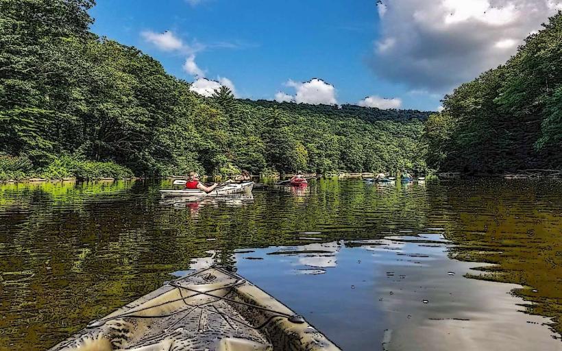
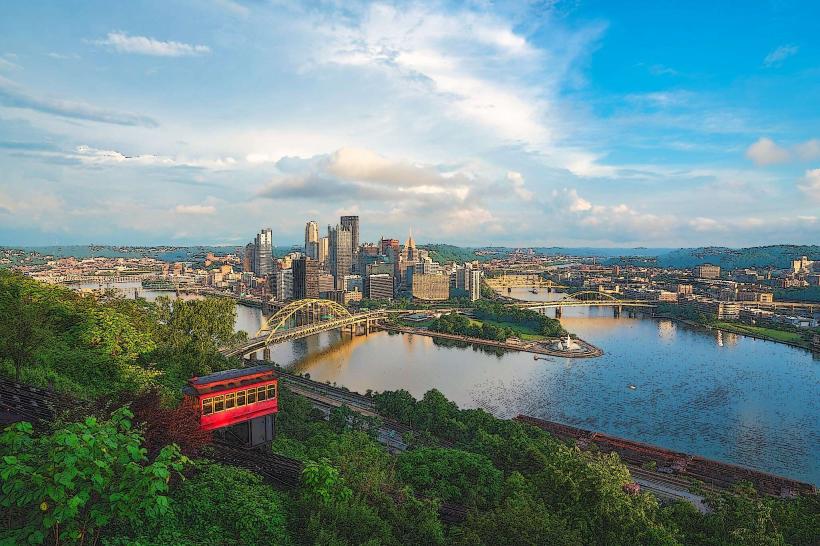
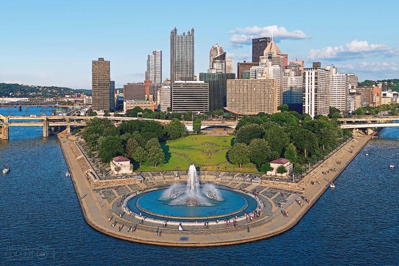
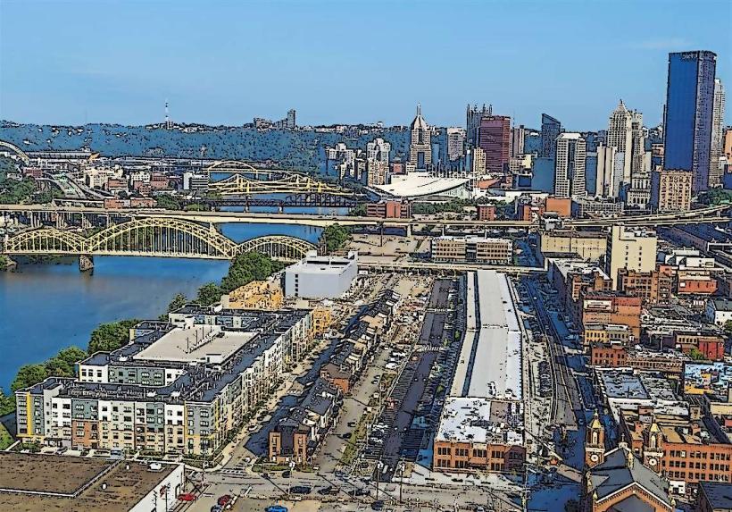
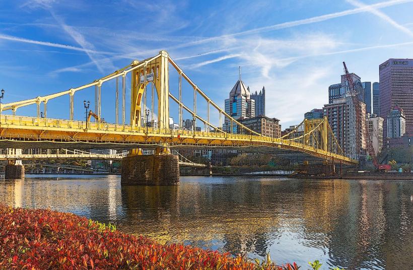
The Three Rivers Heritage Trail is a multi-use urban trail system located in Pittsburgh, Pennsylvania. It follows the confluence and banks of the Allegheny, Monongahela, and Ohio Rivers.
Visual Characteristics
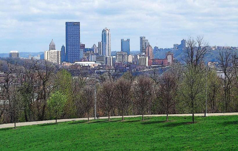
The trail is primarily paved asphalt, varying in width from 8 to 12 feet. Sections are bordered by concrete retaining walls, riverfront parks, and urban infrastructure. Vegetation consists of managed parkland trees and grasses. The trail offers views of bridges, industrial sites, and downtown Pittsburgh architecture.
Location & Access Logistics
The trail network spans approximately 24 miles across the city. Access points are numerous, with major trailheads located at Point State Park, North Shore Riverfront Park, and South Shore Riverfront Park. Parking is available in designated lots and garages near these access points, such as the Point State Park Garage (100 Forbes Ave) and the North Shore Garage (300 North Shore Dr). Public transport options include numerous bus routes serving downtown and the North Shore, with stops within a 5-minute walk of trail access points. The Gateway Clipper Fleet also offers river tours that pass sections of the trail.
Historical & Ecological Origin
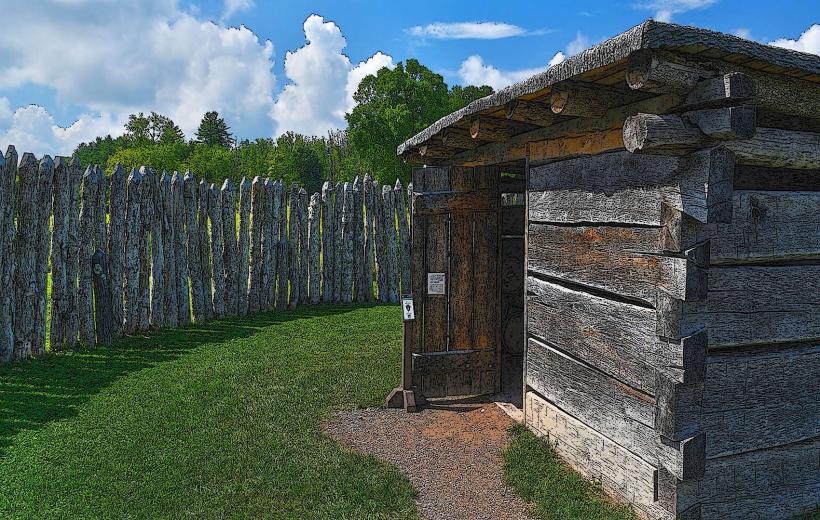
The trail system was developed in phases, beginning in the late 20th century, to reclaim and revitalize the city's riverfronts. Its purpose is to provide recreational access, connect communities, and highlight Pittsburgh's industrial and maritime history. The rivers themselves are a result of geological processes forming the Appalachian Plateau, with the confluence being a significant geographical feature.
Key Highlights & Activities
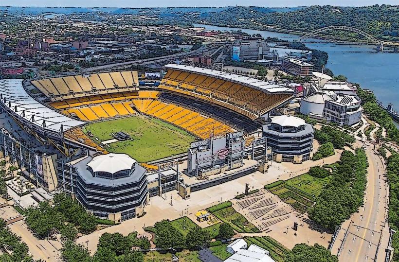
Cycling, running, and walking are primary activities. The trail connects to the Great Allegheny Passage at Point State Park, allowing for longer-distance cycling. Visitors can observe river traffic, explore public art installations, and access various riverfront parks for relaxation. Specific sections offer views of Heinz Field and PNC Park.
Infrastructure & Amenities
Restrooms are available at major park areas and some trail access points. Shade is provided by trees in park sections. Cell phone signal (4G/5G) is generally strong throughout the trail. Food vendors and restaurants are concentrated near major access points like North Shore Riverfront Park and Point State Park.
Best Time to Visit
For photography, early morning (7-9 AM) offers favorable lighting on the city skyline and bridges. Spring (April-May) and Fall (September-October) provide moderate temperatures and reduced humidity. Summer months (June-August) can be hot and humid. No tide considerations apply.
Facts & Legends
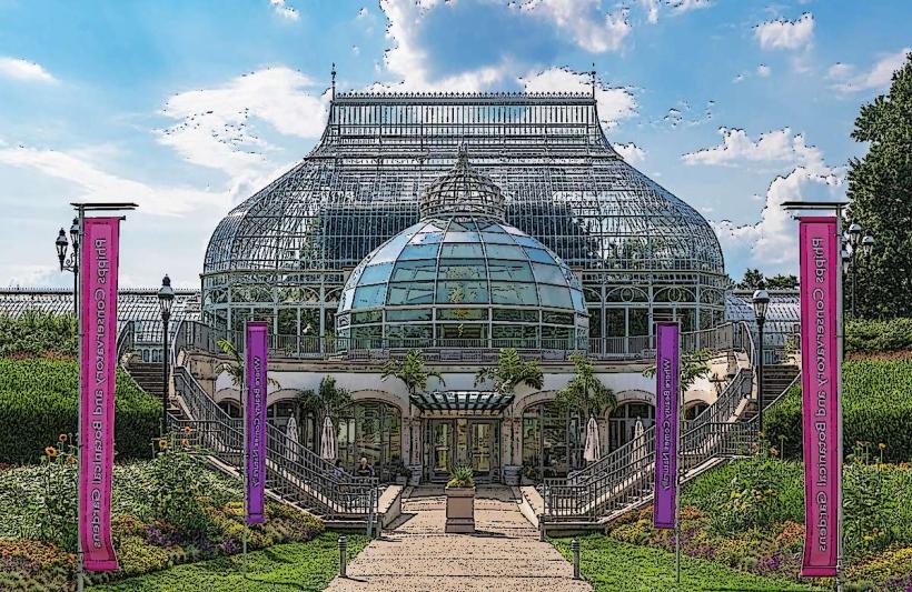
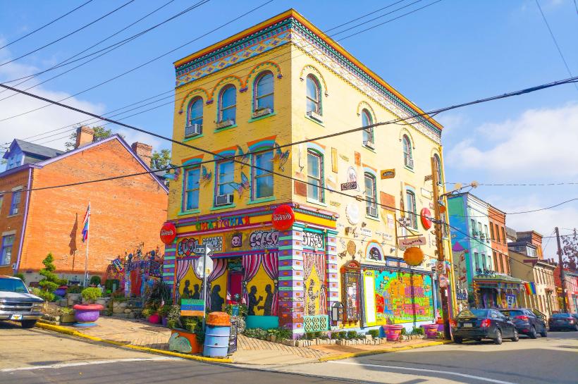
A unique aspect of the trail is its integration with the city's industrial past; sections run alongside former industrial sites and historic bridges, offering a direct visual connection to Pittsburgh's manufacturing heritage. A specific tip for visitors is to look for the historical markers detailing the significance of various riverfront locations.
Nearby Landmarks
- Point State Park (0km, Central)
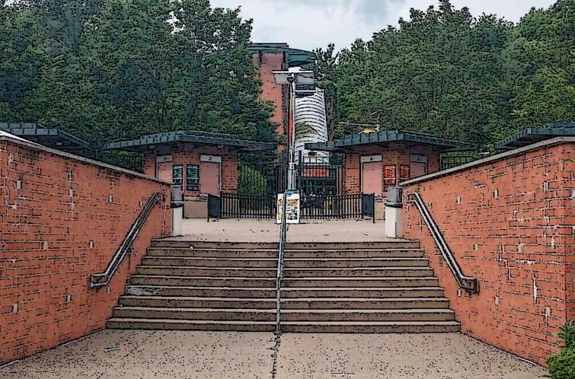
- Heinz Field (0.8km Northwest)
- PNC Park (1.2km North)
- Duquesne Incline (1.5km Southwest)
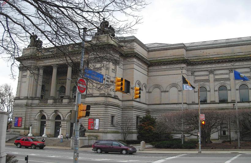
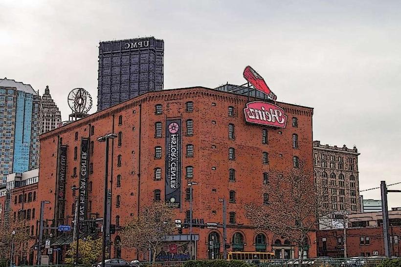
- Senator John Heinz History Center (1.8km East)