Information
Landmark: Toledo CoastlineCity: Punta Gorda
Country: Belize
Continent: North America
Toledo Coastline, Punta Gorda, Belize, North America
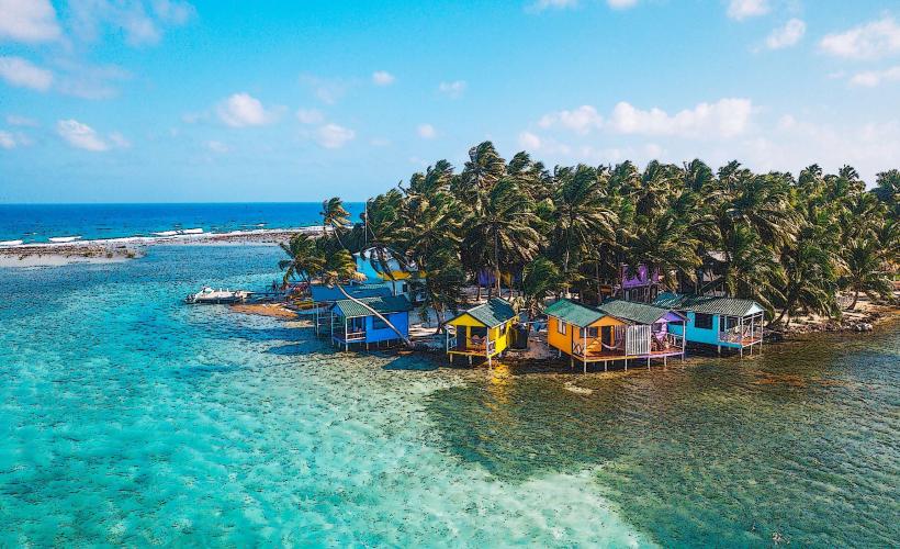
The Toledo Coastline is a section of the Caribbean coast located in the Toledo District of Belize. It encompasses a diverse range of marine and terrestrial environments.
Visual Characteristics
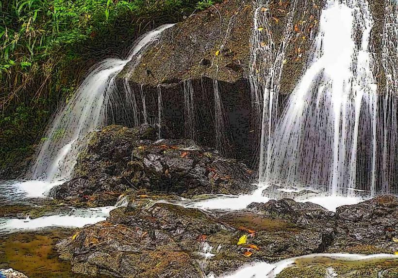
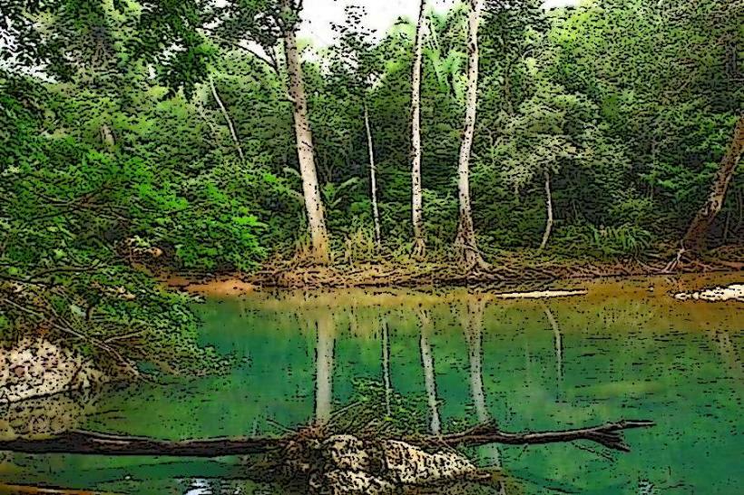
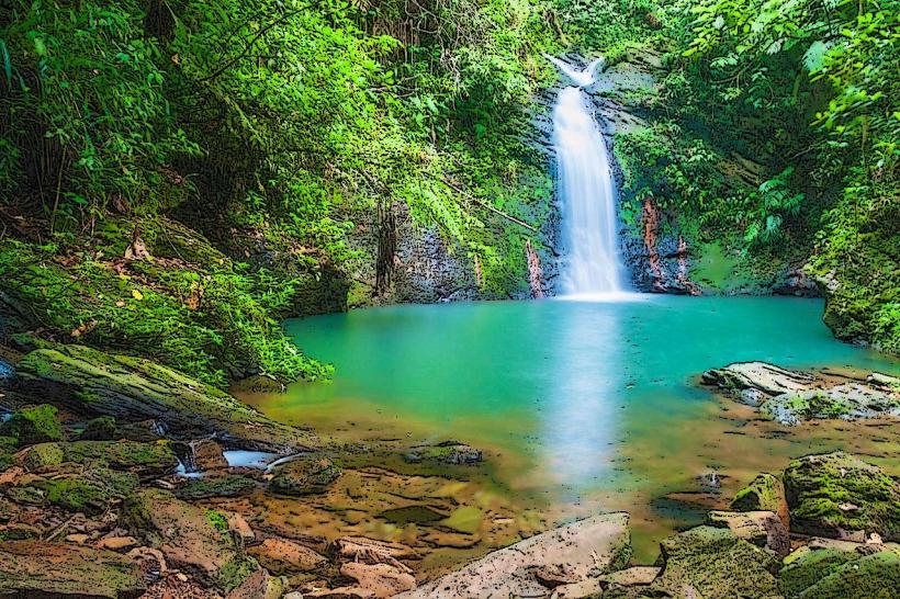
The coastline features a mix of mangrove forests, shallow lagoons, and offshore coral formations. Water clarity varies, with visibility often exceeding 15 meters in reef areas. The seabed consists of sand, seagrass beds, and coral structures. Inland, dense tropical rainforest vegetation dominates.
Location & Access Logistics
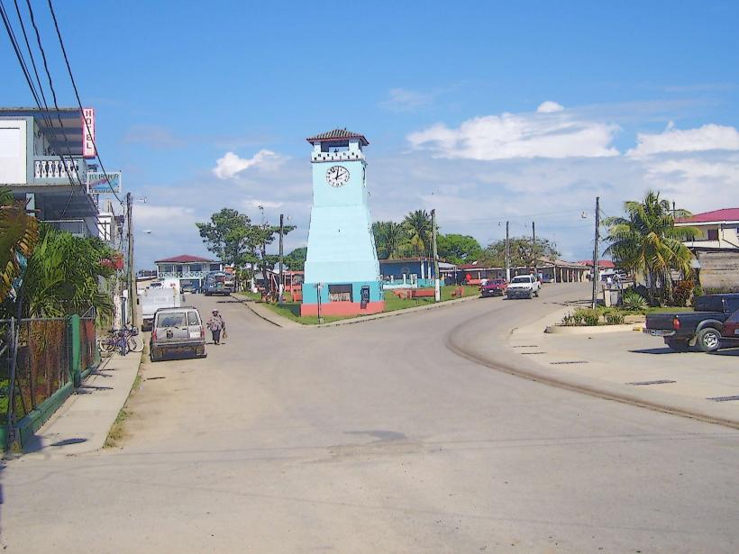
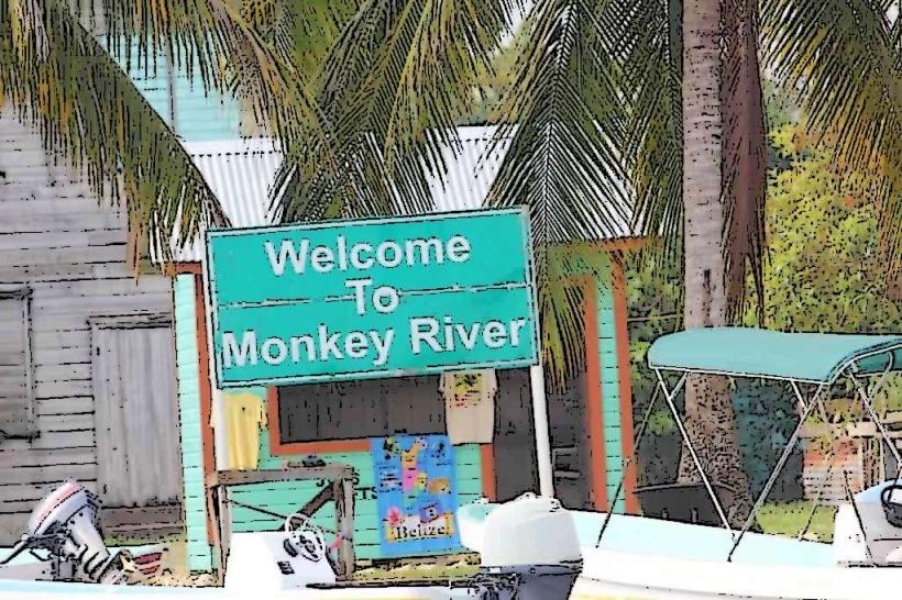
Access to the Toledo Coastline is primarily via the Southern Highway (Highway 1) from Punta Gorda. Punta Gorda is approximately 200km south of Belize City. Local access points include the villages of Punta Gorda, Barranco, and Monkey River Town. Boat charters are the most common method for reaching offshore areas and islands. Limited road access exists to some coastal villages.
Historical & Ecological Origin
The Toledo Coastline is part of the Mesoamerican Barrier Reef System, the second-largest barrier reef in the world. Its formation is a result of geological processes over millennia, including coral growth and sea-level changes. The region's ecological significance lies in its biodiversity, supporting numerous marine species and acting as a critical habitat for migratory birds.
Key Highlights & Activities
Snorkeling and diving are possible at the offshore reefs, particularly around the Sapodilla Cayes Marine Reserve. Kayaking through mangrove channels is available. Birdwatching is a primary activity in areas like Monkey River. Fishing charters operate in designated zones.
Infrastructure & Amenities
Basic amenities are available in the villages of Punta Gorda and Monkey River Town, including small hotels and restaurants. Cell phone signal (2G/3G) is generally available in these villages but is intermittent along more remote coastal stretches. Restrooms and shade are limited outside of established village areas.
Best Time to Visit
The dry season, from November to May, offers the most favorable weather conditions with reduced rainfall and calmer seas. Visibility for diving and snorkeling is typically best during this period. The best time of day for photography is generally between 10:00 AM and 2:00 PM due to direct sunlight.
Facts & Legends
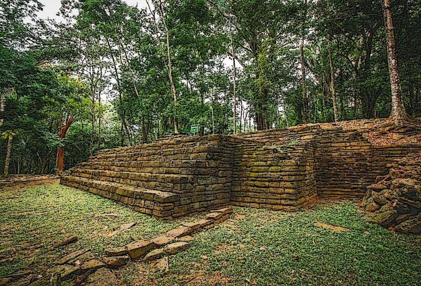
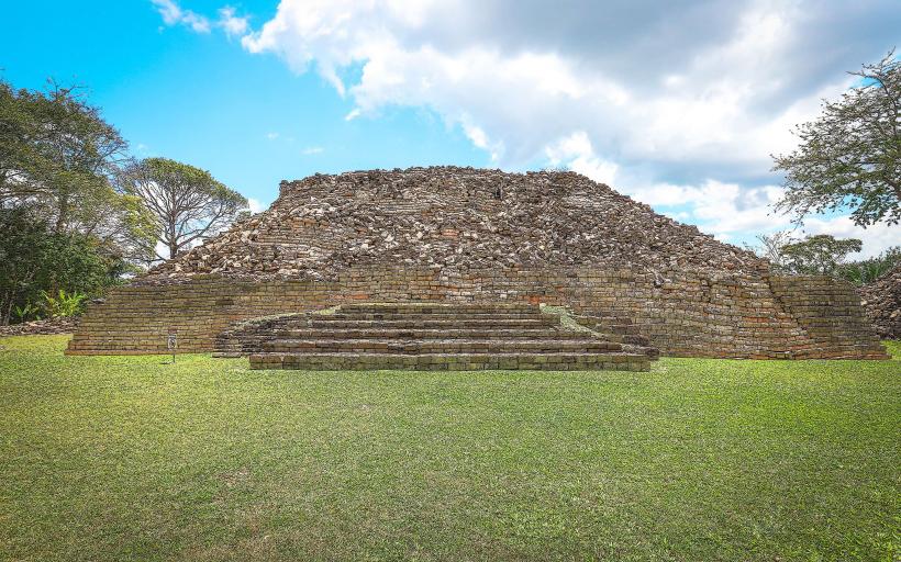
The Toledo Coastline is known for its significant Maya archaeological sites, some of which are located near the coast, indicating historical human interaction with this environment. Local folklore includes stories of sea spirits and ancient Maya rituals associated with the ocean.
Nearby Landmarks
- Sapodilla Cayes Marine Reserve (15km Southeast)
- Rio Grande River Mouth (3km West)
- Punta Gorda Town (Adjacent)
- Nim Li Punit Maya Site (25km Northwest)
- Lubaantun Maya Site (35km Northwest)