Information
Landmark: Tomorr MountainCity: Berat
Country: Albania
Continent: Europe
Tomorr Mountain, Berat, Albania, Europe
Tomorr Mountain (Mali i Tomorrit) is a massive limestone massif in south-central Albania, situated between the Osum and Devoll river valleys. Reaching a maximum elevation of 2,416 meters at its southern peak (Çuka e Partizanit), it is one of the most prominent landmarks in the Berat and Skrapar regions and is designated as a National Park.
Visual Characteristics
The mountain is characterized by a long, jagged ridge extending approximately 19 kilometers from north to south. It features sheer limestone cliffs, deep karst depressions, and expansive alpine meadows. The lower slopes are densely forested with beech, pine, and oak, while the summit remains barren and rocky, often retaining snow patches well into July. It is frequently visible from the Adriatic Sea and the city of Berat.
Location & Access Logistics
Access is primarily via the town of Çorovodë to the south or from Berat to the west. Reaching the summit, particularly the Bektashi shrine, requires a high-clearance 4x4 vehicle due to steep, unpaved, and rocky mountain tracks. The drive from Berat to the mountain base takes approximately 1.5 to 2 hours. While there is no public transport to the higher elevations, local 4x4 shuttles operate frequently, especially during pilgrimage periods.
Historical & Ecological Origin
Tomorr is an anticline structure composed primarily of Mesozoic limestone. It holds profound cultural significance as a "Holy Mountain." It is the central site for the Bektashi Order in Albania; the tomb of Abaz Aliu is located on the southern peak. Historically, it was also associated with the Illyrian cult of the sun and is often referred to in folklore as the "Throne of the Gods" or "Father Tomorr." The National Park protects brown bears, wolves, and rare alpine flora.
Key Highlights & Activities
Bektashi Pilgrimage: The annual festival (August 20–25) attracts tens of thousands of pilgrims to the Teqe of Kulmak and the summit shrine.
Mountaineering: The ascent to Çuka e Partizanit is a rigorous trek for experienced hikers, offering views of the entire southern Albanian range.
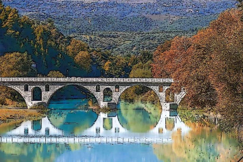
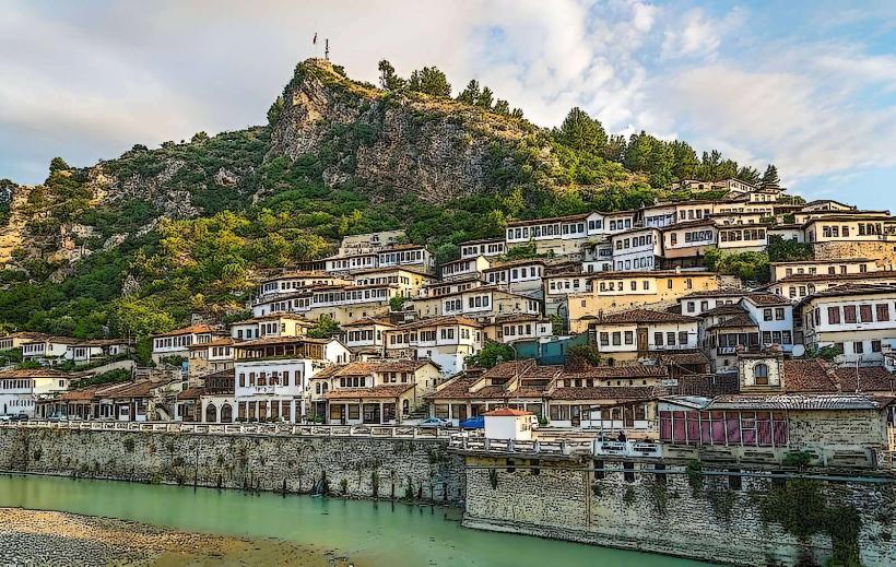
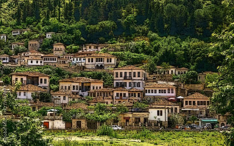
Photography: The mountain offers dramatic perspectives of the Osumi Canyon and the city of Berat.
Paragliding: The high elevation and thermal currents make it a premier site for long-distance paragliding.
Infrastructure & Amenities
Infrastructure is concentrated near the Teqe of Kulmak (at approx. 1,450m), where several guesthouses and basic dormitory-style accommodations are available. There are no facilities or water sources near the actual summit. Public restrooms and food services are only available during the summer season or festival dates. Cellular signal (4G) is reliable on the western slopes facing Berat but intermittent in the eastern folds.
Best Time to Visit
The optimal window for hiking and 4x4 exploration is from June to September. August is the busiest month due to the religious festival. For snow photography, late spring (May) offers a contrast between the snow-capped ridge and the greening valleys. Winter visits (December–March) are extremely hazardous due to heavy snow, ice, and unpredictable mountain weather.
Facts & Legends
Local legend personifies the mountain as Baba Tomorr, an old giant with a long white beard who guards the region. A verified geographical oddity is the "Baba Tomorr’s Tears," several high-altitude springs that emerge directly from the limestone rock near the summit. In Bektashi tradition, it is believed that Abaz Aliu (the half-brother of Husayn ibn Ali) arrived on the mountain on a white horse to find a peaceful resting place.
Nearby Landmarks
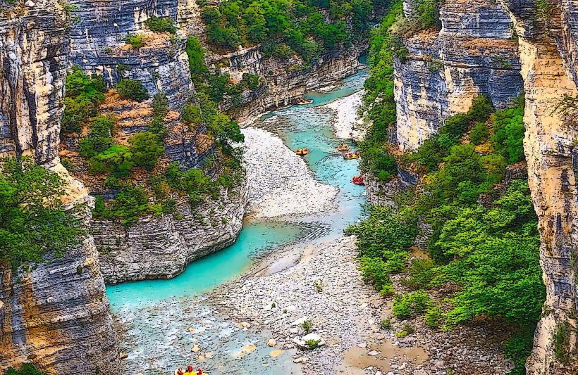
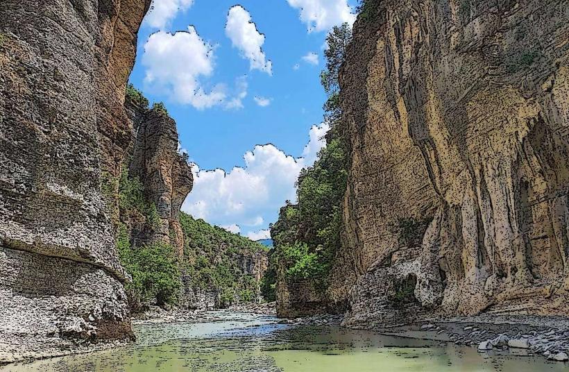
Osumi Canyon: 15km Southwest
Bogovë Waterfall: 12km West
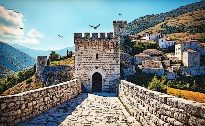
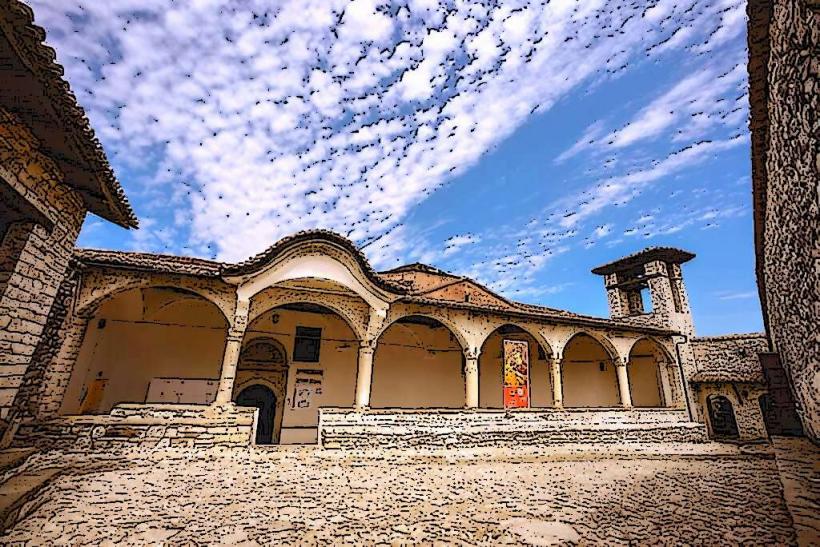
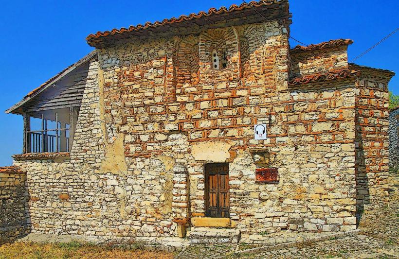
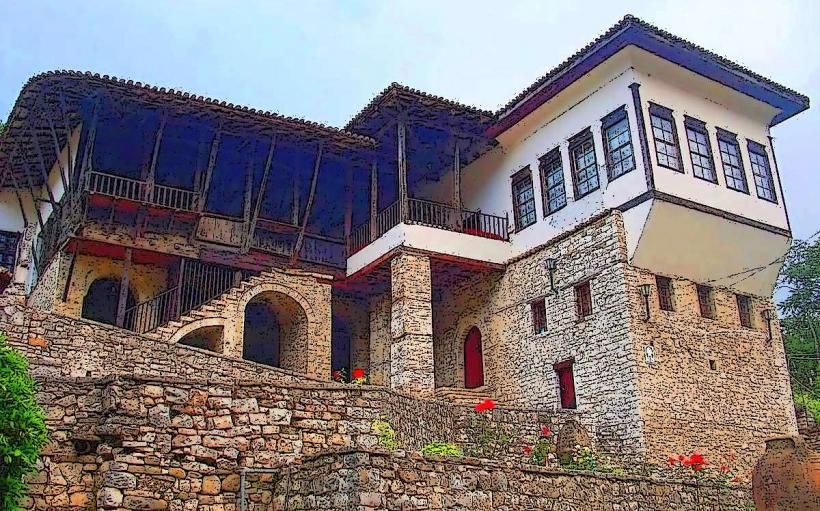
Berat UNESCO City: 25km Northwest
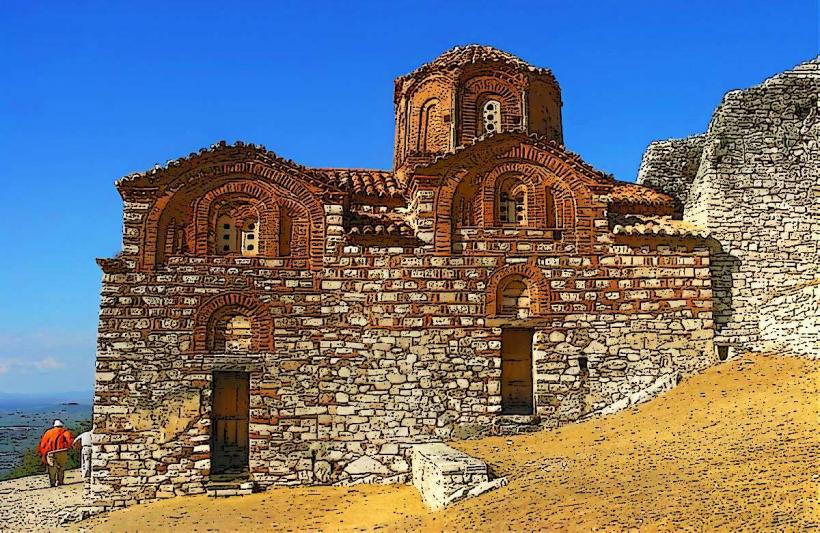
Teqe of Kulmak: 5km North (from the southern peak)
Çorovodë: 20km South