Information
Landmark: Torc WaterfallCity: Killarney
Country: Ireland
Continent: Europe
Torc Waterfall, Killarney, Ireland, Europe
Torc Waterfall is a 20-meter-high, 110-meter-long cascade located at the base of Torc Mountain within Killarney-national-park_killarney" class="underline">Killarney National Park. It is formed by the Owengarriff River as it drains from the Devil’s Punchbowl on Mangerton Mountain into Muckross Lake.
Visual Characteristics
The waterfall features a dramatic drop over a series of sandstone steps.
Setting: Enclosed in a lush, temperate rainforest environment dominated by moss-covered rocks, ferns, and native oak and holly trees.
Hydrology: The visual impact is highly dependent on recent rainfall; after heavy precipitation, the cascade transforms from a tiered stream into a powerful, singular torrent.
Location & Access Logistics
Address: Rossacoosane, Killarney, Co. Kerry.
Position: Located on the N71 (Kenmare Road), approximately 7km south of Killarney town.
Transit: Accessible via car, tour bus, or traditional jaunting car. A pedestrian path connects it to Muckross House (approx. 2.5km).
Parking: Two dedicated free car parks are located off the N71. The lower lot is closest to the falls.
Accessibility: The path from the lower car park to the base of the falls is roughly 200 meters long, relatively flat, and wheelchair accessible.
Historical & Geological Origin
Geology: The waterfall flows over Old Red Sandstone bedrock. The surrounding landscape was heavily shaped by glacial activity during the last Ice Age.
Name Origin: Derived from the Irish word Torc, meaning "boar," referencing local folklore.
Key Highlights & Activities
The Viewing Platform: A stone area at the base providing a direct frontal view of the main drop.
The Steps: To the left of the falls, a steep flight of stone steps (approx. 100 steps) leads to higher viewing points.
Hiking Trails:
Torc Mountain Trail: A popular 7.5km moderate hike starting near the falls.
The Cardiac Hill: A strenuous, steep ascent offering panoramic views of the Lakes of Killarney.
The Yellow Loop: A 45-minute woodland walk encircling the area.
Infrastructure & Amenities
Facilities: No restrooms or shops at the waterfall site. Nearest facilities are at Muckross House (2km).
Connectivity: 4G/5G signal is generally weak due to the mountain shadow and dense tree canopy.
Safety: Rocks near the spray zone are permanently damp and extremely slippery. Do not cross the safety railings.
Best Time to Visit
Timing: Early morning (before 10:00) to avoid large tour bus crowds.
Conditions: Best viewed immediately after a heavy rain shower for maximum volume.
Photography: Long-exposure shots are best achieved on overcast days to avoid harsh dappled sunlight through the trees.
Facts & Legends
A verified technical detail: The waterfall is a "relic" habitat, supporting rare filmy ferns and bryophytes that thrive in the constant humidity of the spray zone. Legend tells of a man cursed to transform into a wild boar every night; when discovered in his cave by the waterfall, he burst into flames and dove into the Devil’s Punchbowl, causing the river to erupt and form the falls.
Nearby Landmarks
Muckross House and Gardens – 2.5km North
Ladies View – 5km South
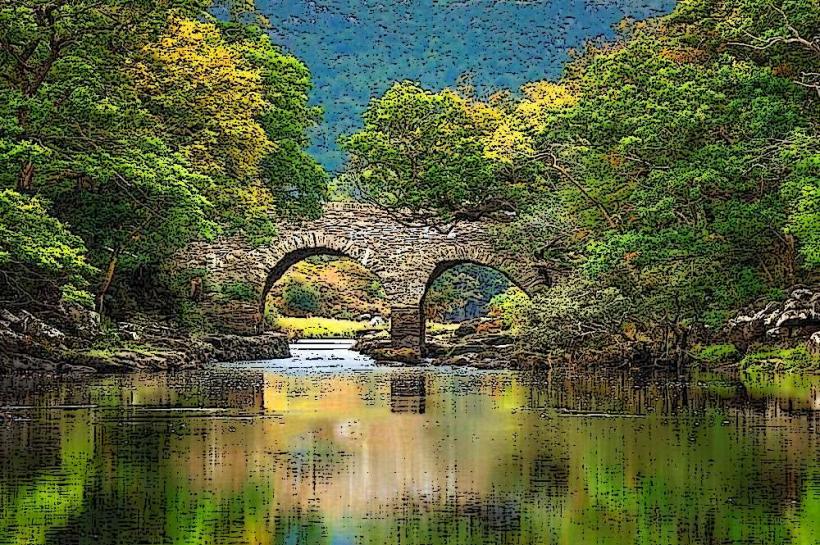
Muckross Lake – 0.5km West
Killarney Town – 7km North