Information
Landmark: Triglav National ParkCity: Bovec
Country: Slovenia
Continent: Europe
Triglav National Park, Bovec, Slovenia, Europe
Triglav National Park is Slovenia's only national park, covering 840 square kilometers of the Julian Alps in the northwestern part of the country. The Bovec sector of the park encompasses the high-altitude karst mountain ranges, the upper Soča Valley, and the Trenta Valley.
Visual Characteristics
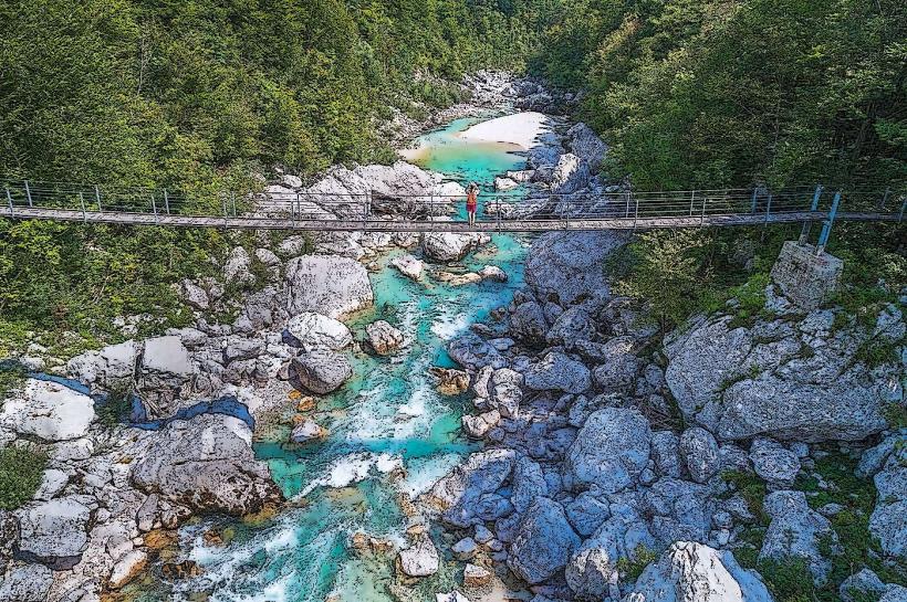
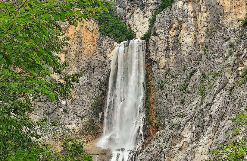
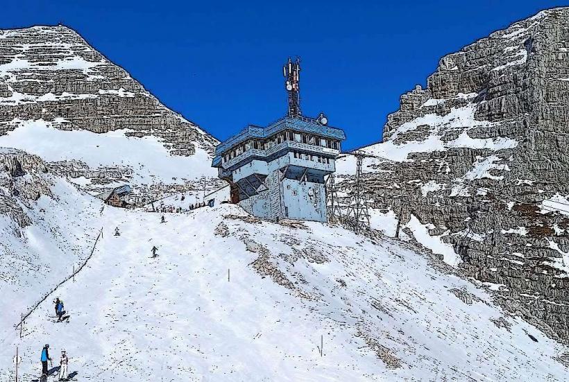
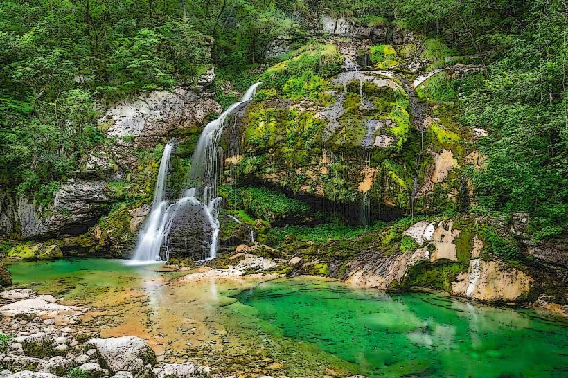
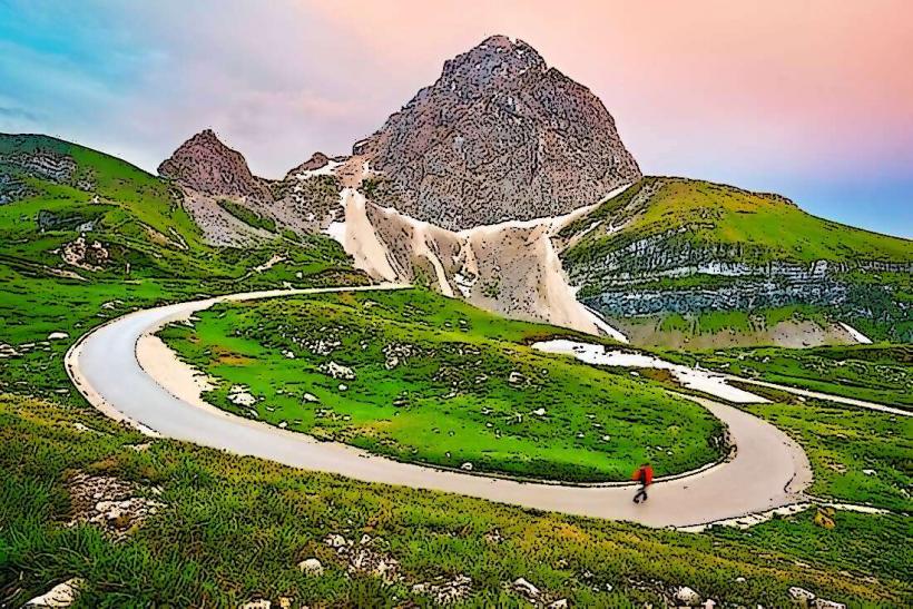
The landscape is defined by high-alpine limestone peaks exceeding 2,500 meters, characterized by jagged ridges, scree slopes, and deep glacial valleys. Vegetation transitions from dense beech and spruce forests at lower elevations to larch forests and alpine meadows, eventually giving way to bare rock and permanent snow patches. The hydrological features include emerald-colored alpine rivers, high-altitude karst springs, and glacial lakes.
Location & Access Logistics
The Bovec entrance to the park is located via Road 206 (Vršič Pass road) or Road 203.
Bovec to Trenta: 21km via Road 206.
Public Transport: Seasonal bus lines operate from June to September, connecting Bovec with Kranjska Gora over the Vršič Pass.
Parking: Located at the TNP Information Center in Trenta, the Great Soča Gorge, and various trailheads along the Soča River.
Entry: There is no entrance fee for the park itself, though specific attractions and parking lots may charge.
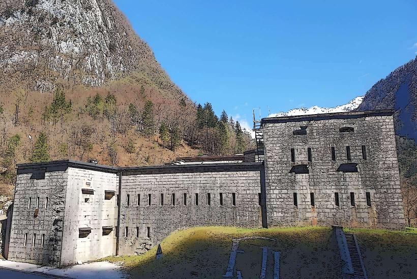
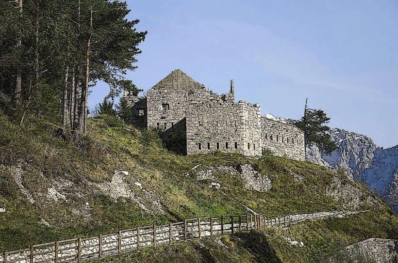
Historical & Ecological Origin
The park was first proposed in 1908 and established in its initial form in 1924 as the Alpine Conservation Park. It was expanded to its current size in 1981. Geologically, the area is composed of thick layers of Triassic limestone and dolomite that were uplifted during the Alpine orogeny. It serves as a sanctuary for the Alpine ibex, chamois, and the Golden Eagle.
Key Highlights & Activities
High-altitude mountaineering is the primary activity, with routes leading to Mount Triglav (2,864m) and Mount Jalovec. The Soča Trail is a 25km educational path stretching from the source of the Soča to Bovec. Technical activities include rock climbing on the North Face of Triglav, canyoning in the Sušec stream, and fly fishing in the Lepena and Soča rivers.
Infrastructure & Amenities
The "Dom Trenta" Information Center provides exhibitions, maps, and restrooms. Multiple mountain huts (planinske koče) offer basic food and dormitory-style lodging at high elevations. Mobile signal (4G) is reliable in the valleys but non-existent in high-altitude interior glacial basins. Most trailheads have basic informative signage but lack extensive shade or vending machines.
Best Time to Visit
The peak hiking and mountaineering season is from late June to September when high-altitude snow has melted and mountain huts are open. May and June are optimal for viewing alpine flora and waterfalls at maximum flow. Photography is most effective at sunrise or sunset from the mountain ridges to capture the "Alpenglow" on the limestone peaks.
Facts & Legends
Mount Triglav, the park's centerpiece, is a national symbol featured on the Slovenian flag; a common tradition dictates that every "true" Slovenian must summit the peak at least once. Legend speaks of the Zlatorog (Goldhorn), a mythical chamois with golden horns who guarded a hidden treasure in the mountains of the Valley of the Triglav Lakes.
Nearby Landmarks
Source of the Soča River: 23.0km Northeast
Great Soča Gorge: 11.5km Northeast
Mount Kanin: 8.5km West
Kozjak Waterfall: 22.0km South
Vršič Pass: 32.0km Northeast