Information
Landmark: Trou aux Cerfs VolcanoCity: Curepipe
Country: Mauritius
Continent: Africa
Trou aux Cerfs Volcano, Curepipe, Mauritius, Africa
Trou aux Cerfs is a dormant volcano located in Curepipe, Mauritius. It is one of the island's most famous natural landmarks, providing a well-preserved example of a volcanic crater and offering panoramic views of the central plateau.
Visual Characteristics
The volcano features a nearly perfectly circular crater approximately 300 to 350 meters in diameter and 80 meters deep. The center of the crater contains a small lake surrounded by dense marshy vegetation. The inner slopes are heavily forested with tall pine trees and indigenous flora. From the rim, the landscape extends to reveal the Moka Range, the Rempart Mountain, and the coastal plains in the distance.
Location & Access Logistics
Trou aux Cerfs is situated at the highest point of Curepipe at an elevation of 605 meters.
Access: It is easily accessible by car or on foot from Curepipe town center (approx. 1.5 km).
Road: A circular road, the Crater Road, runs along the entire rim of the volcano.
Parking: Multiple parking areas are located around the rim for visitors and joggers.
Public Transport: Buses from the Curepipe North or Jan Palach terminals serve the vicinity, followed by a short uphill walk.
Historical & Ecological Origin
The volcano was formed during the second phase of volcanic activity in Mauritius, known as the Intermediate Series, between 1.7 and 0.7 million years ago. Unlike the older Moka Range, Trou aux Cerfs is a "monogenetic" volcano, meaning it likely erupted over a relatively short period. While currently dormant, geologists consider it potentially active, as the underlying volcanic plumbing system remains intact.
Key Highlights & Activities
The rim of the crater is a popular 1-kilometer jogging and walking track for locals. Several viewing platforms equipped with benches and panoramic maps are positioned at strategic intervals. It is a primary location for landscape photography, particularly of the "Trois Mamelles" and "Montagne du Rempart" peaks to the west.
Infrastructure & Amenities
The area is well-developed with paved paths and street lighting for evening use. Public restrooms and small kiosks selling snacks and refreshments are available near the main viewing points. Cellular signal (4G/5G) is excellent due to its elevated position and proximity to the urban center of Curepipe.
Best Time to Visit
The best time for visibility is early morning (07:00 to 09:00) before the clouds gather over the central plateau. The temperature is significantly cooler than the coastal regions, often requiring light clothing. For photography, late afternoon offers dramatic lighting over the western mountain ranges. It is a year-round destination, though heavy rain can occasionally obscure the view into the crater.
Facts & Legends
A common local misconception is that the volcano is "extinct"; however, it is officially classified as dormant. Local legend suggests that the crater lake is bottomless or connected to the sea, though scientific soundings have confirmed its depth is limited by accumulated silt and vegetation. It serves as a vital green lung for the densely populated Plaines Wilhems district.
Nearby Landmarks
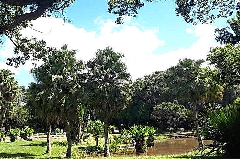
Curepipe Botanical Garden: 1.8km Southeast
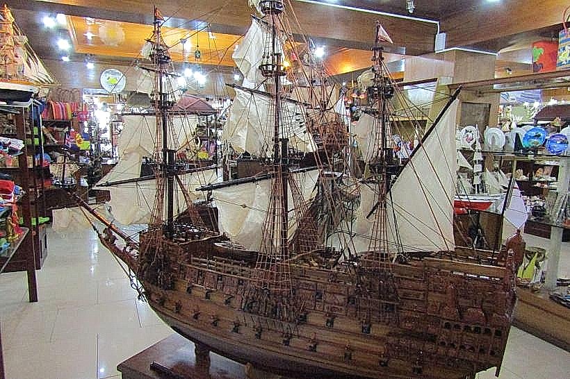
Voiliers de l'Océan (Model Ship Factory): 1.2km South
Mare aux Vacoas Reservoir: 7.0km Southwest
Grand Bassin (Ganga Talao): 12.0km Southwest
Moka Range: Visible to the North