Information
Landmark: Usery Mountain Regional ParkCity: Mesa
Country: USA Arizona
Continent: North America
Usery Mountain Regional Park, Mesa, USA Arizona, North America
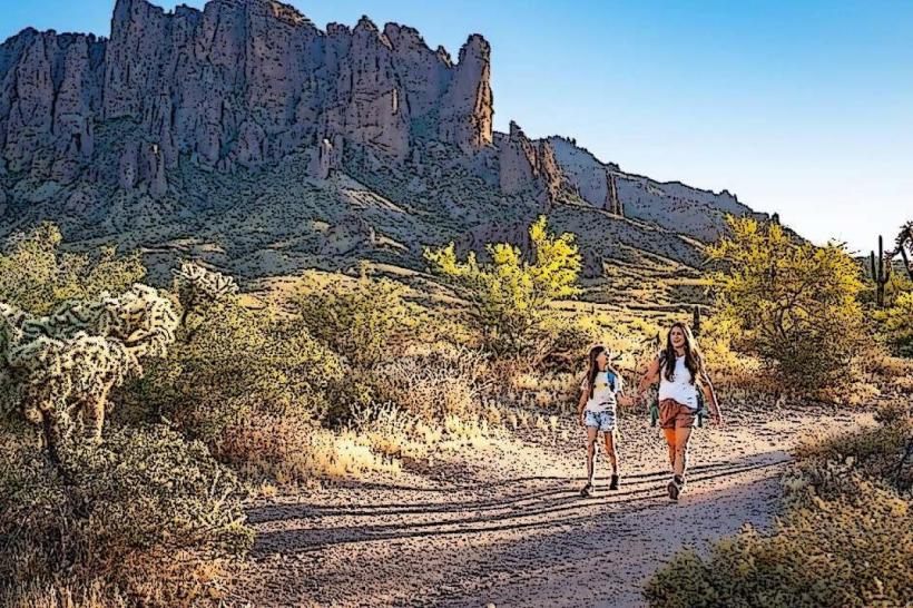
Usery Mountain Regional Park is a protected natural area located in Mesa, Arizona. It encompasses a significant portion of the Sonoran Desert landscape.
Visual Characteristics
The park features rugged desert terrain with elevations ranging from approximately 1,400 to 2,000 feet. Dominant vegetation includes saguaro cacti, palo verde trees, and creosote bushes. Rock formations are primarily sedimentary and volcanic in origin, with exposed granite outcrops. The landscape is characterized by rolling hills and washes.
Location & Access Logistics
The park is situated approximately 15 miles east of downtown Mesa. Access is via Usery Pass Road, which connects to State Route 87 (Beeline Highway). From SR 87, take the exit for Usery Pass Road and proceed east for approximately 3 miles. The park entrance is clearly marked on the north side of the road. Ample parking is available at the main trailhead and various picnic areas. Public transportation options are limited; the nearest bus route stops several miles from the park entrance.
Historical & Ecological Origin
Usery Mountain Regional Park was established in 1966 as part of Maricopa County's regional park system. The land is part of the Sonoran Desert ecoregion, characterized by its unique flora and fauna adapted to arid conditions. The geological formations are a result of millions of years of erosion and volcanic activity.
Key Highlights & Activities
Hiking is a primary activity, with over 30 miles of trails. Specific trails include the 3.2-mile Wind Cave Trail (moderate difficulty) and the 4.5-mile Ridgeline Trail (strenuous). Horseback riding is permitted on designated trails. Birdwatching is also popular due to the diverse desert avian species. The park offers designated picnic areas with ramadas.
Infrastructure & Amenities
Restrooms are available at the main trailhead and several picnic sites. Shade is provided by ramadas at picnic areas and natural vegetation along trails. Cell phone signal (4G/5G) is intermittent within the park, particularly in canyons and lower-lying areas. No food vendors are located within the park; visitors should bring their own provisions.
Best Time to Visit
The optimal time for visiting is during the cooler months, from October through April. Mornings between 7:00 AM and 10:00 AM offer the best light for photography and comfortable hiking temperatures. Summer months (May-September) are extremely hot, with daytime temperatures frequently exceeding 100°F (38°C).
Facts & Legends
A notable feature is the presence of petroglyphs, ancient rock carvings, attributed to the Hohokam people, though access to these specific sites may be restricted or require guided interpretation. The park's name is derived from the "Usery" brand, historically used by ranchers in the area.
Nearby Landmarks
- Goldfield Ghost Town (2.5km West)
- Lost Dutchman State Park (4.0km Northeast)
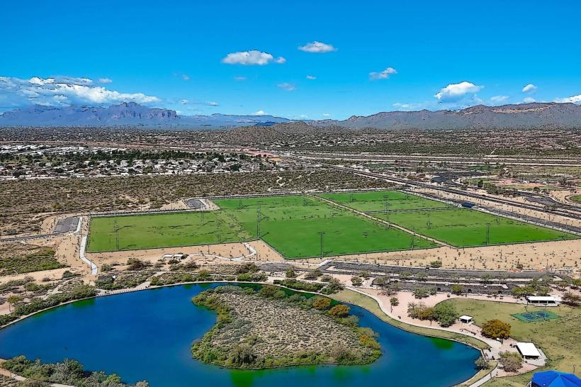
- Superstition Mountains (Visible to the Northeast)
- Arizona Renaissance Festival Site (Seasonal, 3.0km East)