Information
Landmark: Vranjina IslandCity: Podgorica
Country: Montenegro
Continent: Europe
Vranjina Island, Podgorica, Montenegro, Europe
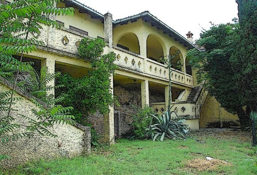
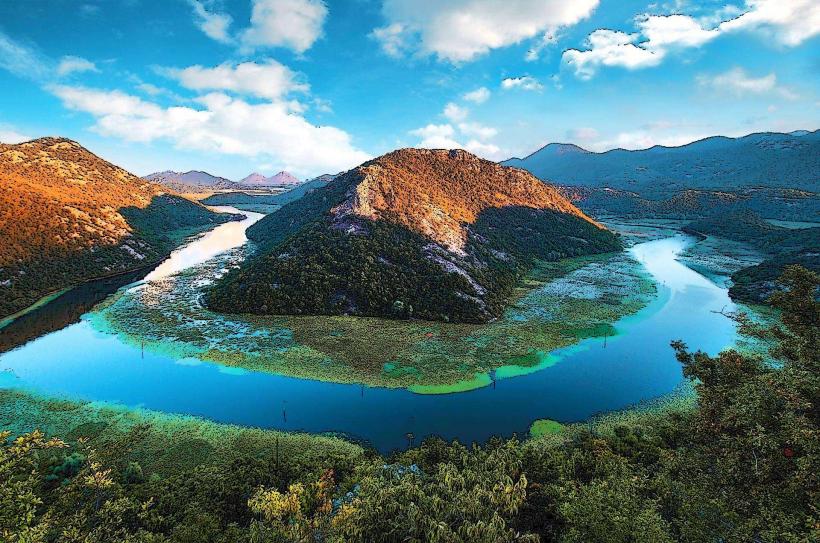
Vranjina is a prominent island and settlement located in the northern section of Lake Skadar. It is often referred to as the "Montenegrin Venice" due to its historical fishing tradition and its position surrounded by water and wetlands.
Visual Characteristics
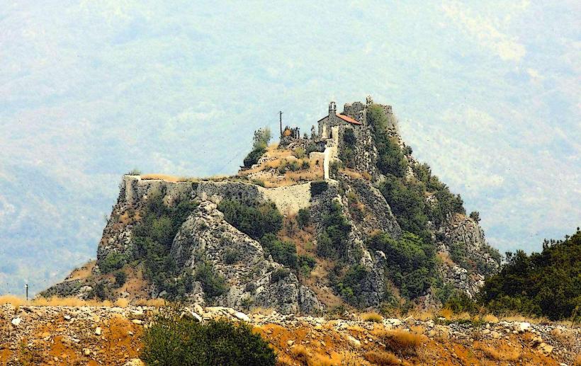
The island is characterized by two distinct conical peaks of volcanic origin, with the highest point reaching 296 meters. The settlement consists of traditional stone houses built closely together along the shoreline. The surrounding landscape features expansive lily pad fields, reeds, and the Zeta river delta, which transitions into the open waters of Lake Skadar.
Location & Access Logistics
Vranjina is situated approximately 20 kilometers south of Podgorica. It is bisected by the E80 highway and the Belgrade–Bar railway line via a causeway and bridge system. Most visitors arrive by private vehicle or taxi; local trains stop at the Vranjina station. The Lake Skadar National Park Visitor Center is located directly at the highway entrance to the village.
Historical & Ecological Origin
Originally a true island, Vranjina became a peninsula-like formation following the construction of the highway causeway in the 1950s. Historically, it served as a strategic military and religious outpost. Ecologically, the island is a critical nesting site for the Dalmatian Pelican and other migratory birds, benefiting from the nutrient-rich waters of the Moraca and Zeta river inflows.
Key Highlights & Activities
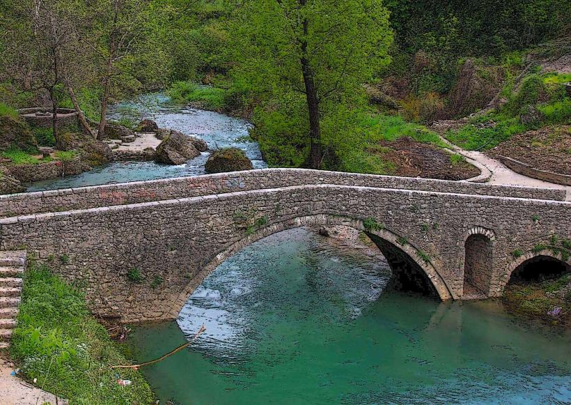
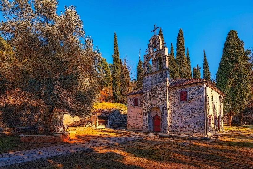
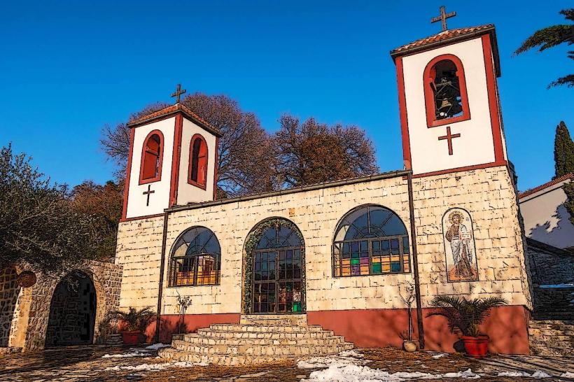
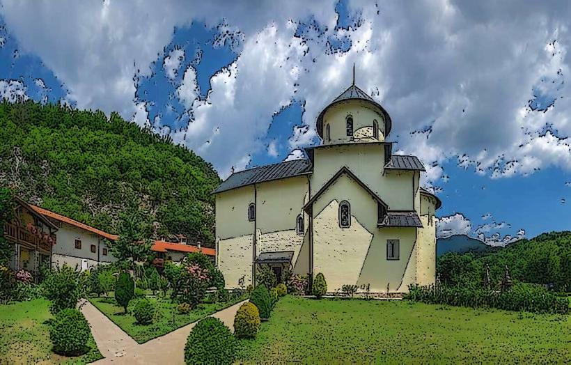
The Vranjina Monastery (Monastery of St. Nicholas), founded in the 13th century, sits on the southern slope and offers views of the lake. The National Park Visitor Center features natural history exhibits and relief maps of the region. The village is a primary departure point for boat tours exploring the northern lake shore and the Crnojević River.
Infrastructure & Amenities
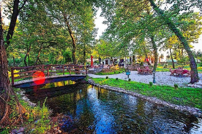
Several specialized fish restaurants are located along the main road, serving lake trout and carp. The Visitor Center provides public restrooms and informational brochures. 4G and 5G cellular signals are robust due to the proximity of the main transport corridor. Small boat docks are available for public and private use.
Best Time to Visit
The area is most visually striking in late spring (May–June) when the white and yellow water lilies are in full bloom. Early morning is the optimal time for bird watching and photography of the mist over the lake. During the summer months, the island provides a slightly more tempered climate than the Podgorica basin.
Facts & Legends
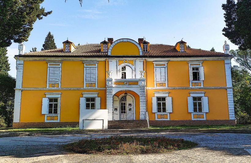
The island was once a prominent center of the medieval state of Zeta and the seat of the Metropolitanate. Local legend holds that the island’s peaks are the petrified remains of two giants who were frozen while attempting to cross the lake. A historical fact of note is that the island was once the site of a summer residence for the Petrović royal family, of which only ruins remain today.
Nearby Landmarks
Lesendro Fortress: 1.5km South (accessible by boat/causeway)
Virpazar: 10km South
Rijeka Crnojevića: 15km West (via water)
Zeta River Mouth: 0.5km North
Ponari Village: 8km North