Information
Landmark: Vuorilampi PondCity: Jyvaskyla
Country: Finland
Continent: Europe
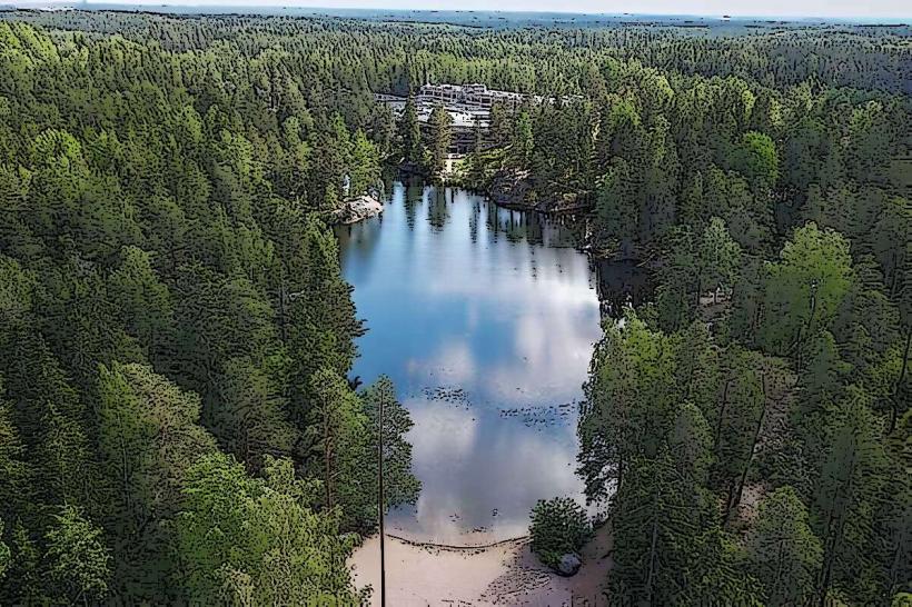
Vuorilampi Pond, Jyvaskyla, Finland, Europe
Visual Characteristics
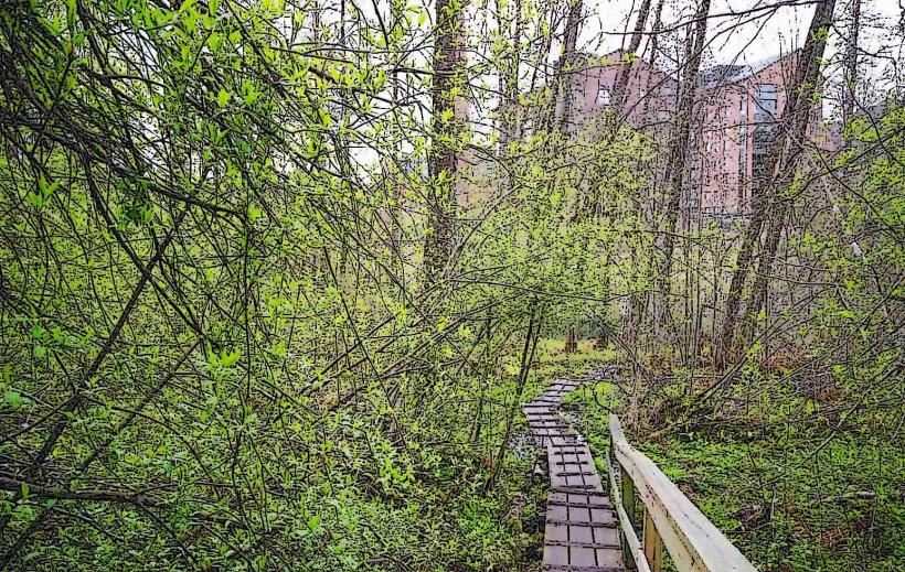
The pond features dark, clear water surrounded by dense coniferous forest, primarily spruce and pine. Its shores are rocky in places, with some marshy sections. The pond's surface area is approximately 0.02 square kilometers, with a maximum depth of around 15 meters.
Location & Access Logistics
Vuorilampi Pond is situated approximately 4 kilometers east of Jyväskylä city center. Access is primarily via Vuorilammentie, a paved road leading directly to a small parking area near the pond's northern shore. Public transport is available via local bus line 19, with a stop at Vuorilampi P, approximately 0.3 kilometers walking distance from the main entrance.
Historical & Ecological Origin
Vuorilampi Pond is a kettle pond, a depression formed by melting blocks of ice left by retreating glaciers during the last ice age. Its basin is lined with glacial till and bedrock, contributing to its relatively deep and clear water. The surrounding forest is typical boreal forest.
Key Highlights & Activities
Swimming is permitted from designated shore points, particularly at the northern beach. Hiking trails encircle the pond, including a 1.5-kilometer loop trail suitable for walking. Fishing is possible with a valid local permit, targeting species such as perch and pike.
Infrastructure & Amenities
There are no permanent restrooms or dedicated shade structures directly at Vuorilampi Pond. Cell phone signal (4G/5G) is generally reliable throughout the area. No food vendors are present directly at the pond; the nearest services are approximately 2 kilometers away in the Kangaslampi district.
Best Time to Visit
The best time for swimming is during July and August when water temperatures are warmest. For hiking, late spring (May-June) and early autumn (September-October) offer pleasant temperatures and fewer insects. Photography is optimal during early morning or late afternoon for soft light filtering through the surrounding forest.
Facts & Legends
Local lore suggests that the pond's unusual depth for its size is due to a meteorite impact, though geological surveys confirm its glacial origin. A small, submerged rock formation near the eastern shore is locally known as "The Sleeping Giant," visible during periods of low water.
Nearby Landmarks
- Harjun Stadion: 3.5km West
- Jyväskylä University Museum: 4km West
- Tourujoki Nature Trail: 3km West
- Kirkkopuisto Park: 4km West