Information
Landmark: Waukegan HarborCity: Waukegan
Country: USA Illinois
Continent: North America
Waukegan Harbor, Waukegan, USA Illinois, North America
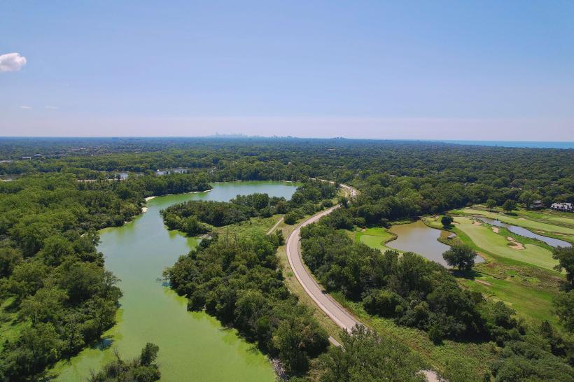
Waukegan Harbor is a protected body of water located in Waukegan, Illinois, USA, serving as a significant port on Lake Michigan.
It functions as a marina and a commercial shipping facility.
Visual Characteristics
The harbor features a concrete breakwater system enclosing a water area. Marina docks are constructed of treated lumber, arranged in a grid pattern. Water depth varies, with shallower areas near shore and deeper channels for navigation. Surrounding land is primarily developed with industrial buildings, warehouses, and recreational facilities.
Location & Access Logistics
Waukegan Harbor is situated approximately 40 miles north of Chicago's Loop. Access is via State Route 137 (Belvidere Street) which leads directly to the harbor entrance. Ample parking is available in designated lots adjacent to the marina and commercial docks. Public transport options include the Pace Bus Route 570, which stops at the intersection of Belvidere Street and Sheridan Road, a short walk from the harbor.
Historical & Ecological Origin
The harbor's development began in the late 19th century to facilitate shipping and industrial growth. Initial dredging and breakwater construction occurred in the 1890s. It was expanded and improved throughout the 20th century to accommodate increasing commercial traffic and recreational boating. Ecologically, it is a man-made harbor within the freshwater ecosystem of Lake Michigan.
Key Highlights & Activities
Boating and sailing are primary activities within the harbor. Fishing is permitted from designated piers. Boat launch facilities are available for trailerable vessels. Commercial shipping operations can be observed from the shoreline. Guided tours of the harbor facilities are sometimes offered by local maritime organizations.
Infrastructure & Amenities
Restrooms and shower facilities are available at the marina. Shade structures are present in some areas of the marina. Cell phone signal (4G/5G) is generally strong throughout the harbor area. Food vendors and restaurants are located within a 1km radius of the main harbor entrance, particularly along Sheridan Road.
Best Time to Visit
For optimal boating conditions, the months of June through September offer the most stable weather. Mid-morning provides good lighting for photography of the water and vessels. High tide is not a significant factor for access to the main harbor channels.
Facts & Legends
A notable historical fact is that Waukegan Harbor was once a significant port for the shipment of iron ore and coal. A local legend speaks of a phantom tugboat that navigates the harbor on foggy nights, though this is unsubstantiated.
Nearby Landmarks
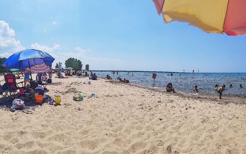
- Waukegan Municipal Beach (0.3km West)
- Jack Benny Center for the Arts (0.8km Northwest)
- Corvette Museum (1.2km Southwest)
- Illinois Beach State Park (4.5km Northeast)