Information
Landmark: Wellington HarbourCity: Wellington
Country: New Zealand
Continent: Australia
Wellington Harbour, Wellington, New Zealand, Australia
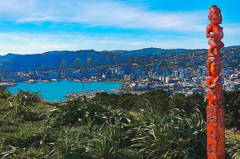
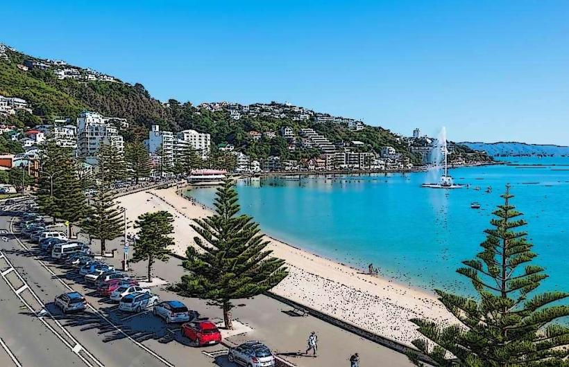
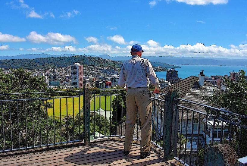
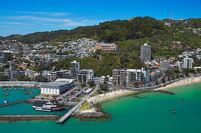
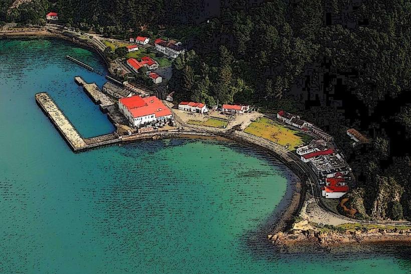
Wellington Harbour is a natural harbour located at the southern tip of the North Island of New Zealand, serving the capital city of Wellington.
It is a significant maritime and recreational hub, characterized by its deep, sheltered waters and surrounding hills.
Visual Characteristics
The harbour's waters are typically a deep blue to grey, influenced by weather conditions. The shoreline is a mix of sandy beaches, rocky outcrops, and developed port facilities. The surrounding hills are covered in dense native and introduced vegetation, primarily pine forests and scrubland, with urban development concentrated along the western and southern edges.
Location & Access Logistics
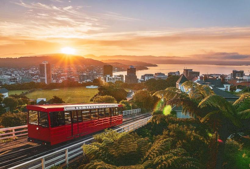
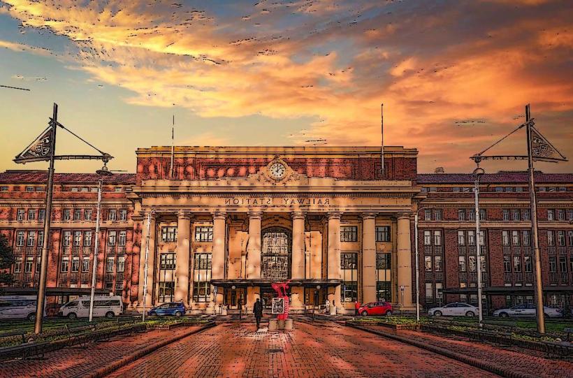
Wellington Harbour is situated at the southern end of Wellington city. Access is direct from State Highway 1 (SH1) which runs along the western foreshore. Parking is available at various points, including Oriental Bay, Evans Bay, and the Wellington Waterfront, with multi-story car parks in the city center. Public transport includes numerous bus routes (e.g., 1, 2, 3, 14) serving the waterfront and surrounding suburbs, and the Wellington Cable Car provides access from Lambton Quay to the Botanic Garden, offering elevated views of the harbour.
Historical & Ecological Origin
The harbour was formed by tectonic activity and subsequent erosion over millennia. It is a ria, a drowned river valley. Māori have occupied the Wellington region for at least 800 years, with the harbour being a vital resource for fishing and transport. European settlement began in the 1840s, with the harbour rapidly developing into a major port for trade and passenger transport.
Key Highlights & Activities
Sailing and yachting are prominent activities, with numerous clubs and marinas. Kayaking and paddleboarding are possible in sheltered bays. The Wellington Waterfront promenade offers walking and cycling paths. Fishing from jetties or charter boats is common. The ferry terminal for the Interislander and Bluebridge services to the South Island is located on the western side.
Infrastructure & Amenities
Restrooms are available at multiple points along the waterfront and at popular bays. Shade is provided by trees and some structures along the promenade. Cell phone signal (4G/5G) is generally strong throughout the harbour area. Food vendors and cafes are concentrated along the Wellington Waterfront and in nearby Oriental Bay.
Best Time to Visit
For calm water conditions suitable for water sports, early morning or late afternoon on days with minimal wind is recommended. Summer months (December to February) offer the warmest weather. Spring (September to November) and Autumn (March to May) provide milder temperatures and fewer crowds. High tide is generally preferable for deeper water activities.
Facts & Legends
A notable historical oddity is the "Wellington Boom," a period of rapid construction and population growth following the establishment of Wellington as the capital in 1865, which significantly altered the harbour's shoreline and usage.
Nearby Landmarks
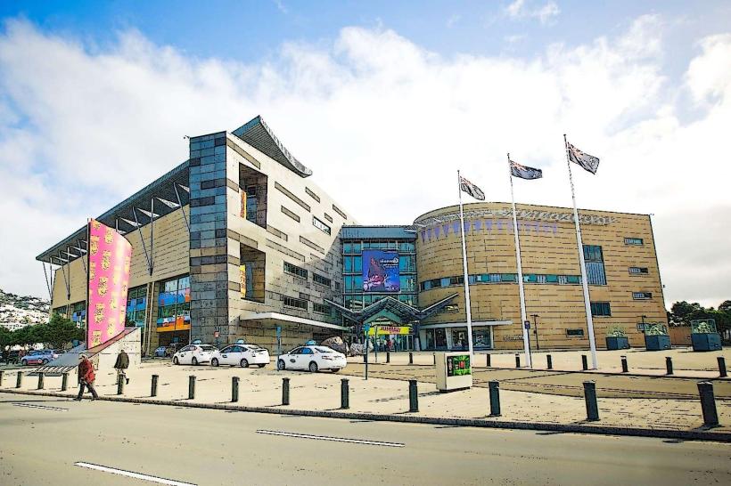
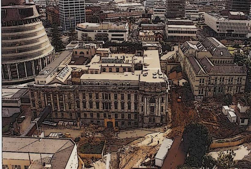
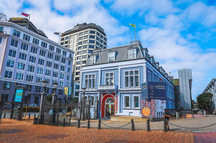
- Te Papa Tongarewa (Museum of New Zealand): 0.8km West
- Wellington Botanic Garden: 1.2km Northwest
- Mount Victoria Lookout: 1.5km Southeast
- Oriental Bay Beach: 0.5km Southwest
- Old St Paul's Cathedral: 1.0km West