Information
Landmark: West Fork River TrailCity: Clarksburg
Country: USA West Virginia
Continent: North America
West Fork River Trail, Clarksburg, USA West Virginia, North America
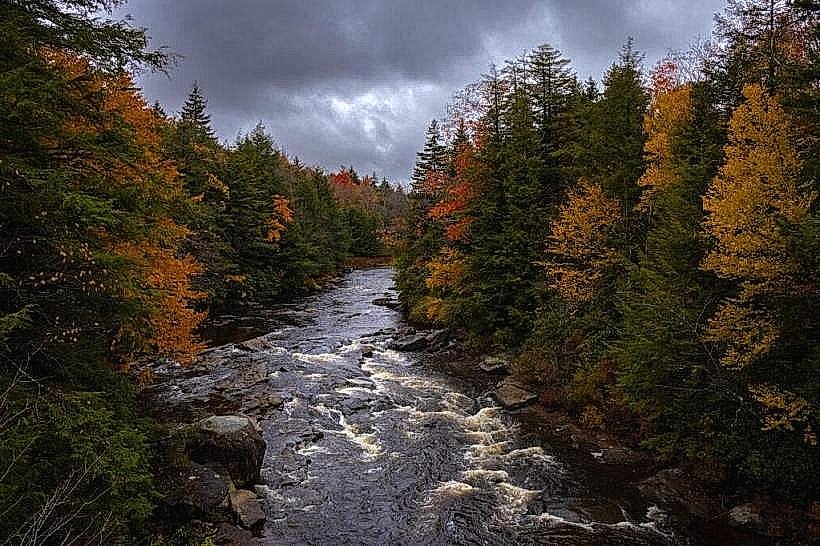
The West Fork River Trail is a multi-use recreational path located in Clarksburg, West Virginia. It follows the course of the West Fork River.
Visual Characteristics
The trail is primarily a paved asphalt surface, averaging 10 feet in width. It is bordered by mature deciduous trees on one side and the West Fork River on the other. The river's water color varies from brown to grey depending on recent rainfall. The terrain is generally flat with a gradual incline in some sections.
Location & Access Logistics
The West Fork River Trail can be accessed from multiple points within Clarksburg. The main trailhead is located at the intersection of South Sixth Street and Locust Avenue, approximately 1.5 miles south of the city center. Parking is available at this trailhead in a dedicated gravel lot. Additional access points with limited street parking exist at various road crossings, including the bridge over the river near the Veterans Administration Medical Center. Public transport options are limited; the closest bus stops are several blocks from the main trailhead.
Historical & Ecological Origin
The trail was developed on a former Baltimore and Ohio Railroad corridor. The railroad line was active for freight and passenger transport until the mid-20th century. The conversion to a recreational trail began in the late 1990s, with significant portions completed by 2005. Ecologically, the area is part of the Appalachian mixed mesophytic forest region.
Key Highlights & Activities
Activities include walking, jogging, cycling, and in-line skating. Birdwatching is common along the riverbanks. Fishing is permitted in the West Fork River, with appropriate state licenses. The trail is suitable for cross-country skiing during winter months when snow accumulation is sufficient.
Infrastructure & Amenities
Restrooms are available at the main trailhead on South Sixth Street. Benches are positioned at intervals along the paved sections. Shade is provided by the tree canopy for approximately 60% of the trail's length. Cell phone signal (4G/5G) is generally consistent along the trail. No food vendors are located directly on the trail; amenities are available in nearby commercial areas of Clarksburg.
Best Time to Visit
For photography, early morning or late afternoon light offers optimal conditions. The months of April through October provide the most favorable weather for outdoor activities. High tide is not a relevant factor for this river trail.
Facts & Legends
A local historical note is that the railroad line this trail replaced was instrumental in the industrial development of Clarksburg in the late 19th and early 20th centuries. A specific tip for visitors is to be aware of potential wildlife, including deer and various bird species, particularly during dawn and dusk.
Nearby Landmarks
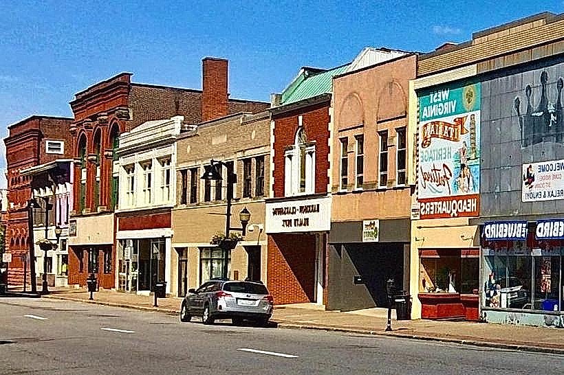
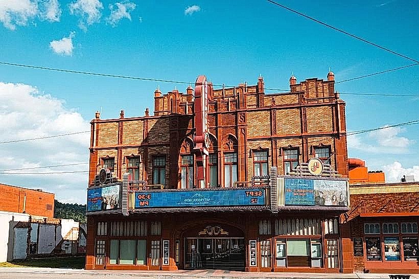
- Harrison County Historical Society Museum (1.2km Northwest)
- Clarksburg Public Library (1.8km North)
- Veterans Administration Medical Center (0.8km West)
- Fazio's Italian Restaurant (1.5km North)
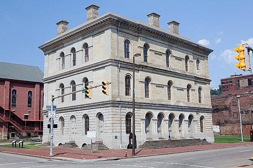
- Harrison County Courthouse (2.0km North)