Information
Landmark: Wildwood ParkCity: Ottumwa
Country: USA Iowa
Continent: North America
Wildwood Park, Ottumwa, USA Iowa, North America
Wildwood Park is a municipal park located in Ottumwa, Iowa, USA.
It is situated along the Des Moines River.
Visual Characteristics
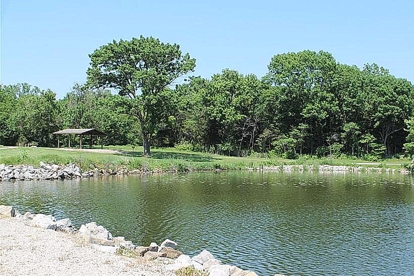
The park features mature deciduous trees, primarily oak and maple species, providing significant canopy cover. The terrain is gently rolling, with open lawn areas interspersed with wooded sections. The Des Moines River forms the park's northern boundary, with a width of approximately 75 meters at this point. A paved multi-use trail, 3 meters wide, traverses the park.
Location & Access Logistics
Wildwood Park is located 3 kilometers west of downtown Ottumwa. Access is via Highway 34 (West Second Street), turning north onto Wildwood Drive. The park entrance is clearly marked. Ample paved parking is available, with designated areas for approximately 150 vehicles, including 5 accessible spaces. Public transport is limited; the closest bus stop for Ottumwa Transit is located at the intersection of Highway 34 and Elm Street, approximately 1.5 kilometers east of the park entrance.
Historical & Ecological Origin
The land for Wildwood Park was acquired by the City of Ottumwa in 1948. The park's development began in the early 1950s, with initial landscaping and the establishment of walking paths. Ecologically, the area is part of the prairie pothole region, characterized by its riverine environment and mixed deciduous forest. The Des Moines River itself is a major tributary of the Mississippi River.
Key Highlights & Activities
Activities include fishing from the riverbank, picnicking at designated tables, and walking or cycling on the paved trail. The park contains a playground area with swings and slides. Birdwatching is possible due to the diverse tree cover and proximity to the river.
Infrastructure & Amenities
Restrooms are available in a central pavilion, open seasonally from April to October. Several picnic shelters with tables are distributed throughout the park, offering shade. Cell phone signal (4G) is generally consistent within the park. No on-site food vendors operate within the park; the nearest commercial establishments are located along Highway 34, approximately 1 kilometer east.
Best Time to Visit
For photography, early morning or late afternoon light provides optimal illumination of the tree canopy and river. The months of May through September offer the most favorable weather conditions for outdoor activities. No specific tide requirements are applicable.
Facts & Legends
A local anecdote suggests that during the early 20th century, before its establishment as a park, the area was a popular, albeit unofficial, gathering spot for local fishermen who claimed the Des Moines River section bordering the park held a higher concentration of catfish.
Nearby Landmarks
- Ottumwa Public Library - 2.8km East
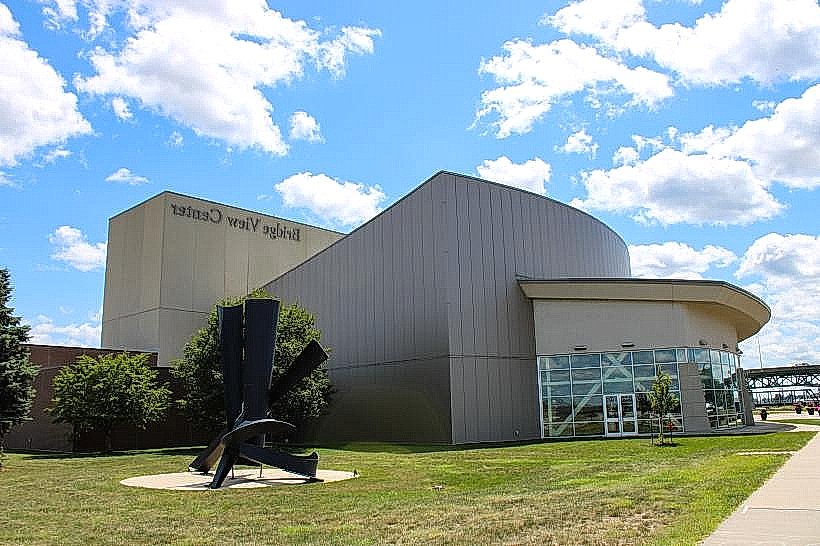
- Bridge View Center - 3.1km East
- Ottumwa Cemetery - 1.2km Southwest
- American Gothic House - 35km Northwest (requires travel outside 5km radius)
- Lake Wapello State Park - 25km Northwest (requires travel outside 5km radius)