Information
City: AhuachapanCountry: El Salvador
Continent: North America
Ahuachapan, El Salvador, North America
Ahuachapán is the capital of the Ahuachapán Department and the westernmost major city in El Salvador, located near the Guatemalan border. Known as a geothermal powerhouse and a key coffee-producing hub, it serves as the northern anchor of the famous Ruta de las Flores.
Historical Timeline
Founded by the Poqomam Maya in the 5th century and later conquered by the Pipil people, the city was officially established by the Spanish in 1525. It became a city on February 11, 1862. Its history is deeply tied to the coffee boom of the late 19th century, which financed its neoclassical architecture. It is also the birthplace of the renowned Salvadoran poet Alfredo Espino.
Demographics & Population (2026)
The municipality has a population of approximately 135,000. The demographics are predominantly Mestizo (88%), with a small but culturally significant indigenous Pipil and Poqomam minority. The population is relatively young, with a median age of 29 years.
Urban Layout & Key Districts
The city is organized around a traditional Spanish central plaza, expanding into industrial and geothermal sectors.
Centro Histórico: Home to the Parish of Our Lady of the Assumption and Concordia Square.
Colonia El Espino: A residential area near the famous lagoon.
Industrial/Geothermal Zone: Located on the outskirts, housing the country's primary geothermal power plants.
Top City Landmarks
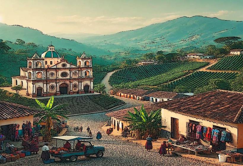
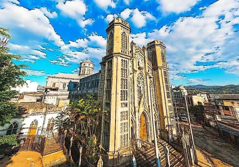
Parroquia de Nuestra Señora de la Asunción: A 100-year-old colonial-style church known for its pristine white facade.
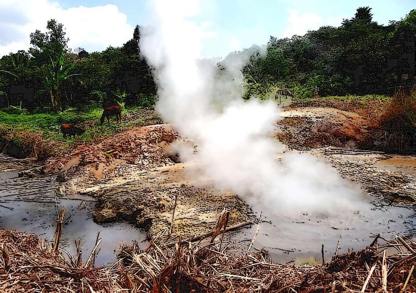
Los Ausoles: A series of geothermal vents, geysers, and bubbling mud pots that power a significant portion of the country's electricity.
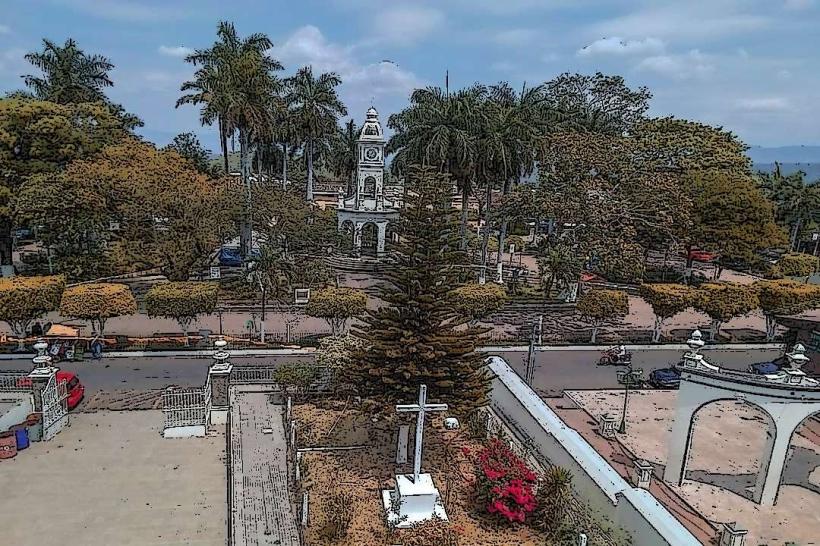
Parque Concordia: The central social hub featuring a monument to General Francisco Menéndez.
Pasaje Concordia: A vibrant pedestrian street famous for its colorful murals and local artisan shops.
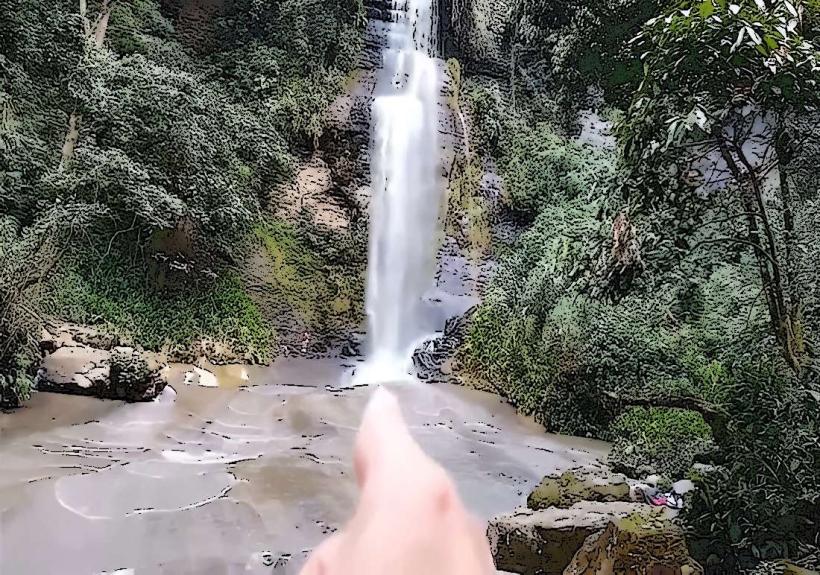
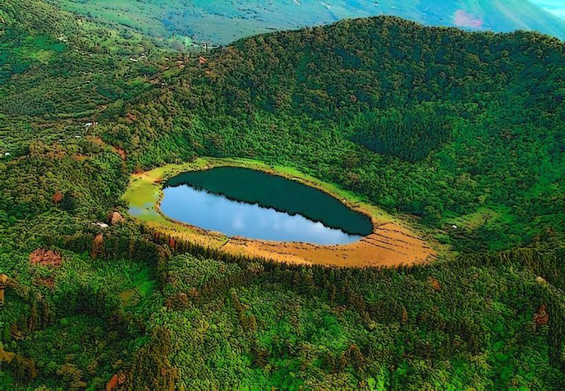
Laguna el Espino: A scenic lagoon 4 km from the center, historically significant as the site of the first battle of independent Central America (1822).
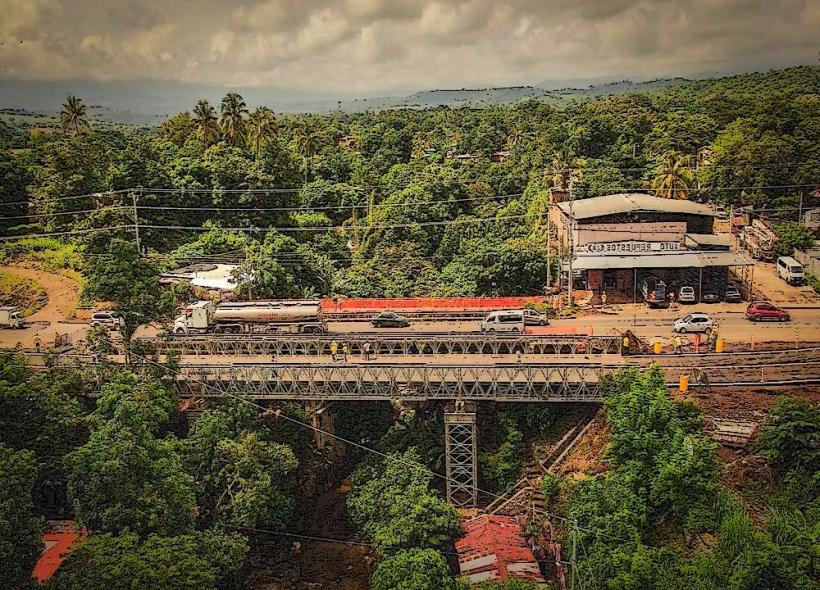
Transportation Network
Ahuachapán is a critical transit point for international trade with Guatemala.
Roads: Connected via the Pan-American Highway and the CA-2 coastal road.
Border Crossings: The nearby Las Chinamas and La Hachadura bridges are major gateways to Guatemala.
Transit: Served by Route 202 (to San Salvador) and Route 210 (to Santa Ana). Tuk-tuks are the primary mode of internal transport.
Uber: Available but with lower vehicle density than in San Salvador or Santa Ana.
Safety & Security
Current status is stable under the national security protocols of 2026.
General Profile: Violent crime has dropped to record lows. The city center is safe for walking during the day.
Precautions: Exercise caution near the border terminals at night. Stick to official guides when visiting remote geothermal areas or El Imposible National Park.
Digital & Financial Infrastructure
Internet: Average speeds of 40-60 Mbps. The geothermal sector has dedicated high-speed fiber links.
Finances: US Dollars and Bitcoin are legal tender. Chivo ATMs and traditional banks (Agrícola, Cuscatlán) are clustered around the central plaza.
Connectivity: Strong 5G/4G coverage provided by Tigo and Claro.
Climate & Air Quality
The climate is tropical, but the elevation (785m) provides a cooler environment than the coast. Temperatures range from 19°C to 30°C. Air quality is generally good, though sulfurous odors from the Los Ausoles geothermal fields are common in certain wind conditions.
Culture & Social Norms
Día de los Farolitos (Day of the Lanterns): Celebrated every September 7th. The entire city is lit with thousands of handmade lanterns, a tradition declared Intangible Cultural Heritage.
Coffee Culture: Social life revolves around coffee tasting and high-altitude bean production.
Dining: Ahuachapán is famous for its "Yucca con Chicharrón" (cassava with fried pork).
Local Cost Index (USD)
1 Espresso: $2.50
3 Pupusas: $2.50
1 Uber Trip (Short): $3.50
Nearby Day Trips
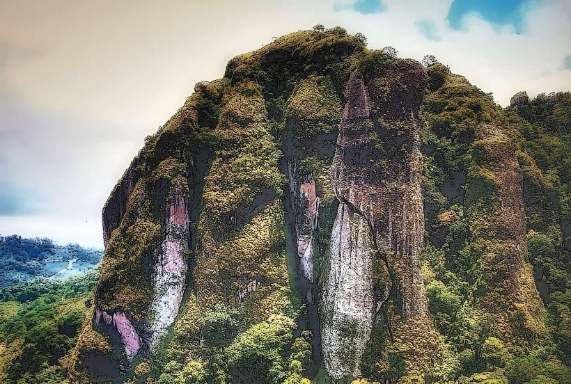
El Imposible National Park: El Salvador’s most important tropical forest reserve, located 1 hour away.
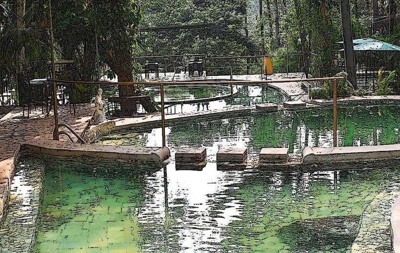
Santa Teresa Hot Springs: Naturally heated volcanic pools for relaxation.
Concepción de Ataco: A picturesque "Flower Route" town 15 minutes south.
Facts & Legends
A verified historical oddity: Ahuachapán’s geothermal plant was the first in Central America to produce electricity from volcanic steam. A local legend involves the "Carreta Chillona" (Screaming Wagon), an oxcart said to be heard rattling through the streets at night, carrying the souls of those who died in the coffee fields without receiving their last rites.