Information
Landmark: Cerro El TrapicheCity: Ahuachapan
Country: El Salvador
Continent: North America
Cerro El Trapiche, Ahuachapan, El Salvador, North America
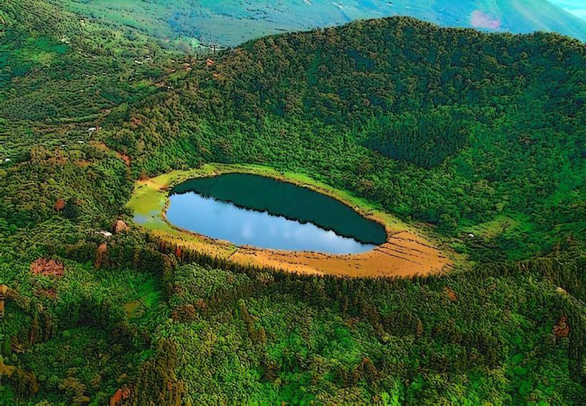
Cerro El Trapiche is a volcanic cone located in the municipality of Ahuachapan, El Salvador.
This geological formation is characterized by its steep slopes and a summit crater.
Visual Characteristics
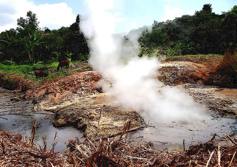
The cone is primarily composed of andesitic rock, with exposed sections revealing dark grey and brown volcanic material. Vegetation cover varies, with denser foliage on the lower slopes and sparser growth near the summit. The summit crater is approximately 50 meters in diameter and shows signs of past geothermal activity.
Location & Access Logistics
Cerro El Trapiche is situated 3 kilometers west of the city center of Ahuachapan. Access is via Carretera CA-8, turning onto a gravel road marked for "Finca El Trapiche." The gravel road extends for approximately 1.5 kilometers to a small parking area at the base of the cone. Public transport options are limited; local buses serving Ahuachapan do not directly service the site, requiring a taxi or private vehicle for the final approach.
Historical & Ecological Origin
Cerro El Trapiche is a stratovolcano, part of the Central American Volcanic Arc. Its formation is attributed to Pleistocene volcanic activity. The site is classified as a secondary volcanic cone, with its last significant eruption estimated to be several thousand years ago. Geothermal activity, including fumaroles, is present within the summit crater.
Key Highlights & Activities
Hiking to the summit crater is the primary activity. The trail is unpaved and moderately steep. Observation of geothermal features within the crater is possible. Birdwatching is also a potential activity due to the varied vegetation.
Infrastructure & Amenities
There are no formal amenities at Cerro El Trapiche. Restrooms are not available. Shade is limited to natural tree cover on the lower slopes. Cell phone signal (4G/5G) is intermittent and generally weak at the summit.
Best Time to Visit
The best time of day for photography is early morning or late afternoon to utilize softer lighting. The dry season, from November to April, offers the most favorable weather conditions with less rainfall. The site is accessible year-round, but trail conditions can be slippery after heavy rains.
Facts & Legends
Local folklore suggests that the geothermal vents at the summit were once used by indigenous peoples for cooking, though no archaeological evidence supports this claim. A more verifiable fact is that the soil composition around the cone is rich in sulfur, contributing to the unique plant life found in certain areas.
Nearby Landmarks
- Laguna Verde (1.2km Southwest)
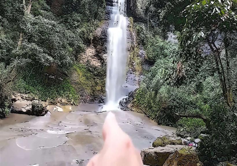
- Cascadas de El Salto (3.5km East)
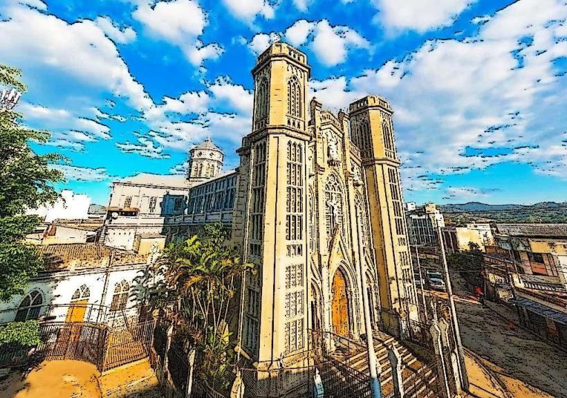
- Iglesia de la Asunción (3.8km Northeast)
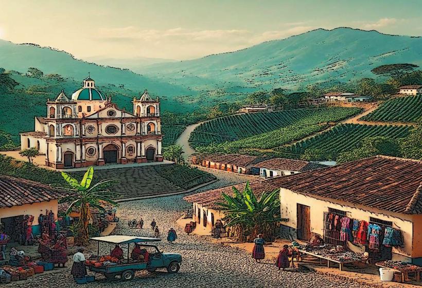
- Parque Central de Ahuachapan (3.0km East)