Information
Landmark: Puente de Los DiosesCity: Ahuachapan
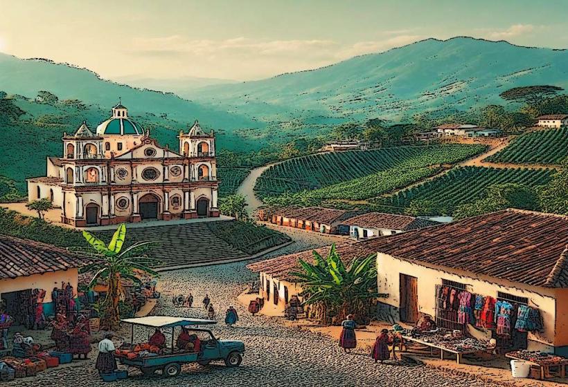
Country: El Salvador
Continent: North America
Puente de Los Dioses, Ahuachapan, El Salvador, North America
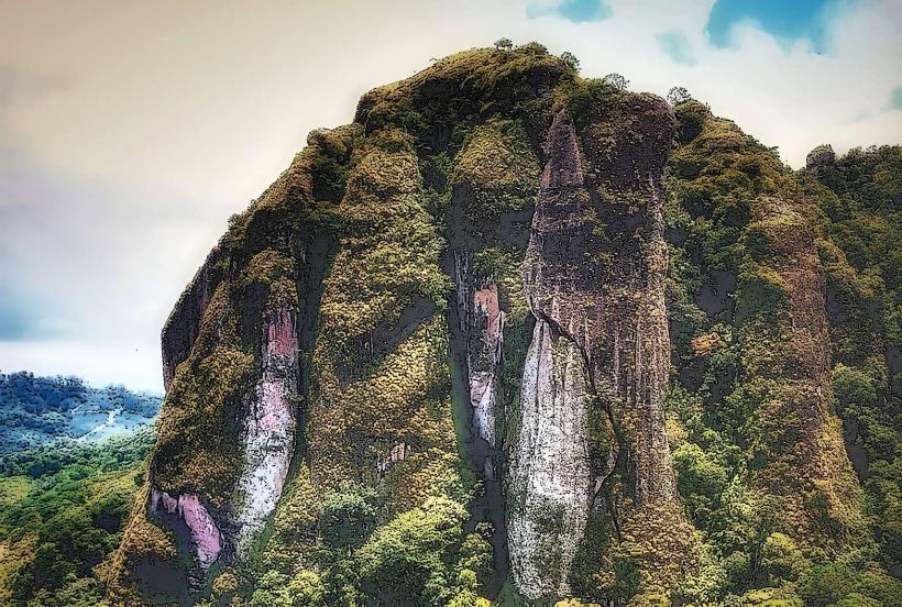
The Puente de Los Dioses is a natural rock formation located in the municipality of Ahuachapan, El Salvador.
This geological feature consists of a large, arching rock bridge spanning a river.
Visual Characteristics
The Puente de Los Dioses is characterized by a significant natural stone arch, formed by erosion. The rock is primarily sedimentary, exhibiting layered textures and a greyish-brown coloration. The river below the arch flows with clear, cool water, surrounded by dense, green vegetation including trees and ferns. The height of the arch from the riverbed is approximately 15 meters.
Location & Access Logistics
The site is situated approximately 8 kilometers west of the city center of Ahuachapan. Access is via Carretera Litoral (CA-2) heading west, then turning north onto Carretera de El Cantón El Carmen. A well-maintained dirt road, approximately 2 kilometers in length, leads directly to the parking area. Parking is available on-site for approximately 20 vehicles. Public transport options are limited; local buses serving the Ahuachapan-San Salvador route stop at the junction of Carretera Litoral and Carretera de El Cantón El Carmen, requiring an additional 2km walk or a local taxi hire.
Historical & Ecological Origin
The Puente de Los Dioses is a product of fluvial erosion, a process where a river has carved through a rock formation over millennia. The specific geological period of its formation is estimated to be within the last 10,000 years, during the Holocene epoch. It is classified as a natural bridge, formed from sedimentary rock deposits.
Key Highlights & Activities
Visitors can walk across the top of the natural arch. Swimming is permitted in the river pools beneath the bridge during dry seasons. Photography of the rock formation and surrounding landscape is a primary activity. Hiking trails are present along the riverbanks, offering different vantage points.
Infrastructure & Amenities
Basic amenities include a designated parking area and a small number of picnic tables. Restrooms are not available on-site. Cell phone signal (4G/5G) is intermittent. There are no food vendors directly at the site; visitors should bring their own provisions. Shade is provided by the natural rock overhang and surrounding trees.
Best Time to Visit
The best time of day for photography is between 9:00 AM and 11:00 AM, or 2:00 PM and 4:00 PM, to avoid harsh midday light. The dry season, from November to April, offers the most stable weather conditions and lower river levels, making access easier. During the rainy season (May to October), river levels can rise significantly, potentially limiting access to the river pools.
Facts & Legends
Local folklore suggests the bridge was created by ancient gods to allow passage between realms. A verified historical detail is that the rock composition is primarily sandstone, making it susceptible to further erosion, though the process is extremely slow.
Nearby Landmarks
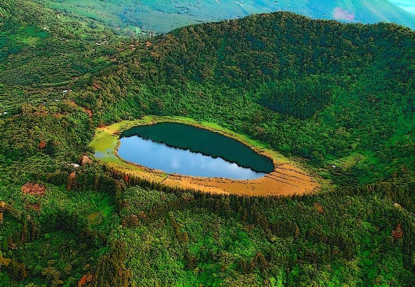
- Laguna Verde (3.5km Southwest)
- Parque Nacional El Imposible (12km Southwest)
- Cascadas de Don Juan (6km Northeast)
- Ahuachapan City Center (8km East)