Information
City: Chaco RegionCountry: Paraguay
Continent: South America
Chaco Region, Paraguay, South America
The Chaco region, also known as the Región Occidental, serves as Paraguay’s primary agricultural and livestock frontier, covering 60% of the national territory while housing less than 3% of its population. It is located west of the Paraguay River, bordering Argentina to the south and west and Bolivia to the north.
Historical Timeline
The region was historically inhabited by diverse hunter-gatherer groups, including the Guaraní, Nivaclé, and Enxet. Modern urban settlement was catalyzed in the 1920s and 30s by the arrival of Mennonite immigrants and the Chaco War (1932–1935), a conflict with Bolivia over territorial control. The most significant political reconstruction occurred in 1945 with the formal departmental reorganization of the region. The primary event shaping its current form was the construction and ongoing paving of the Transchaco Highway (PY09), which integrated isolated colonies into the national economy.
Demographics & Population
The total population of the Paraguayan Chaco is approximately 210,000. It is the most ethnically diverse region in the country, with approximately 50% identifying as Indigenous (across 17 ethnic groups), 30% as Mennonite (European descent), and 20% as Latino/Mestizo. The median age is approximately 25 years, lower than the national average due to higher birth rates in rural and indigenous communities.
Urban Layout & Key Districts
The region is divided into three departments: Presidente Hayes, Boquerón, and Alto Paraguay. The "urban" layout consists of hub cities positioned as logistical islands within the scrubland.
The Central Chaco: The most developed district, centered around the Mennonite colonies of Filadelfia, Loma Plata, and Neuland.
The Lower Chaco: Areas closest to Asunción, including Villa Hayes and Benjamín Aceval, which serve as industrial gateways.
The High Chaco: The remote northern frontier (Alto Paraguay) including Fuerte Olimpo and Bahía Negra, primarily accessible by river.
Top City Landmarks
Fortín Boquerón: A preserved battlefield and museum from the Chaco War.
Fuerte Olimpo: A 1792 stone fortress overlooking the Paraguay River.
The Jakob Unger Museum (Filadelfia): Documenting pioneer history and regional biology.
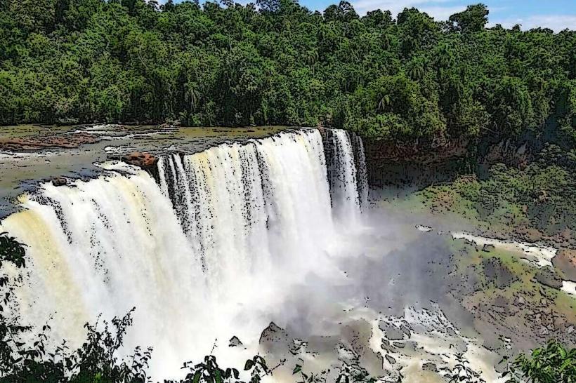
Defensores del Chaco National Park: Home to Cerro León, a 40-km diameter geological formation.
Estación Puerto Casado: Historical railway site linked to the tannin industry and war logistics.
Transportation Network
Movement is dictated by the PY09 Transchaco Highway. Paved sections are reliable, but unpaved secondary roads become impassable during rain. There are no rail or metro systems. Ride-sharing is non-existent outside the immediate vicinity of Villa Hayes. Official taxis are typically white or silver and found only at major bus terminals. Most residents and visitors rely on 4x4 vehicles or long-distance buses (NASA, Stel Turismo). Traffic density is extremely low, consisting mostly of cattle trucks.
Safety & "Red Zones"
The region is generally safe from urban crime, but the "dry border" areas with Bolivia and remote ranching zones are noted for low police presence and smuggling activity. Night driving is the primary safety risk due to stray livestock (cows/horses) and lack of road lighting. There are no specific neighborhoods categorized as "red zones," though travelers should avoid off-road exploration without a local guide.
Digital & Financial Infrastructure
Internet speed averages 20-40 Mbps in urban hubs but is frequently non-existent in the "deep Chaco." Tigo and Personal are the main carriers. Card acceptance is high in Mennonite cooperative stores but zero in rural outposts. ATMs are sparse; they are located in Filadelfia, Loma Plata, Villa Hayes, and Mariscal Estigarribia.
Climate & Air Quality
The Chaco experiences the most extreme temperatures in Paraguay, with summer highs reaching 45°C and winter lows dropping to 0°C. Air quality is generally high, though "dust seasons" in August and September cause significant particulate matter issues. Drought is a persistent weather risk, often lasting 6-8 months.
Culture & Social Norms
Social rules are influenced by conservative Mennonite and Indigenous traditions. Tipping is 10% in urban restaurants. Handshakes are the standard greeting; the "doble beso" is rare in the Central Chaco. Modest dress is preferred in the colonies. Alcohol is prohibited in several Mennonite-administered zones, and smoking in public is often frowned upon.
Accommodation Zones
Stay in Filadelfia: For the best logistical access to history, banks, and the Transchaco Highway.
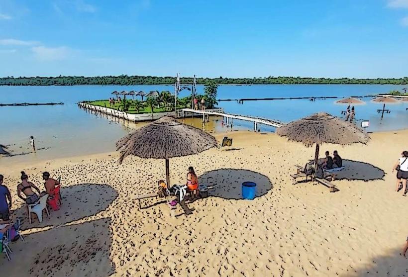
Stay in Bahía Negra: For access to the Pantanal wetlands and eco-tourism.
Local Cost Index
1 Espresso: 18,000 PYG ($2.40 USD)
1 Standard Lunch: 50,000 PYG ($6.70 USD)
1 Long-distance Bus Ticket: 150,000 PYG ($20.00 USD)
Nearby Day Trips
Loma Plata: 25 km from Filadelfia (Dairy industry and history).
Fortín Toledo: 40 km (Peccary conservation center).
Campo Aceval: 100 km (Historical war sites).
Facts & Legends
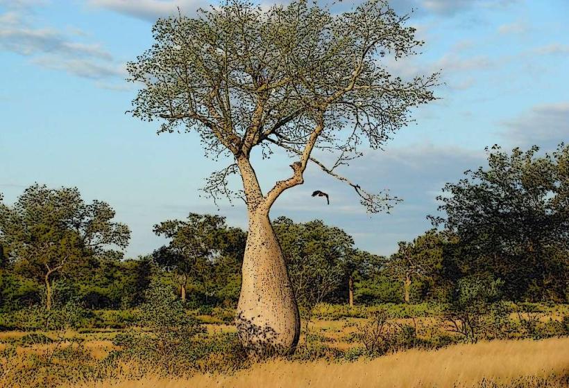
The Chaco is home to the legend of the "Yvy Pora," a forest spirit or phantom believed by the Enxet people to protect the virgin scrubland; it is said to lead hunters astray if they take more game than they need. A verified historical oddity is that during the Chaco War, the "Palo Borracho" (Samu'u) trees were hollowed out by soldiers and used as snipers' nests and water reservoirs, some of which still stand with bullet scars today.