Information
City: Ciego de AvilaCountry: Cuba
Continent: North America
Ciego de Avila, Cuba, North America
Ciego de Ávila serves as the agricultural and logistical heart of central Cuba, functioning as the primary transit node between the island’s western and eastern provinces. It is situated on the Carretera Central, approximately 420 kilometers east of Havana.
Historical Timeline
Founded in 1840, the city developed as a strategic military outpost during the Wars of Independence. The most significant event shaping its urban form was the 1868 construction of the Trocha de Júcaro a Morón, a 68-kilometer defensive line of forts and barbed wire designed by the Spanish to prevent the movement of revolutionary forces across the island. The modern era is defined by the city's role as the gateway to the Jardines del Rey tourism archipelago, developed in the 1990s.
Demographics & Population
The city has a population of approximately 120,000. The demographic is predominantly of Spanish descent, with a significant influence from Canary Islander and Haitian immigrants who arrived during the 20th-century sugar boom. The median age is approximately 39.2 years.
Urban Layout & Key Districts
The city is organized on a very precise, flat grid. Calle Independencia (Central) is the main commercial and pedestrian boulevard. Parque Martí serves as the social epicenter. The Northern Corridor connects the city to the town of Morón and the keys. The architecture is characterized by long portals and Neoclassical columns designed to provide shade from the intense central sun.
Top City Landmarks
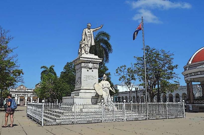
Parque Martí (Central plaza)
Teatro Principal (Built between 1924 and 1927, known for its acoustics)
Galería de Arte Provincial
San Eugenio de la Palma Cathedral
Trocha de Júcaro a Morón (Historical military remains)
Transportation Network
Movement within the city relies on a high density of horse-drawn carriages (coches) and bicycles. There is no metro. Viazul buses and shared taxis connect the city to Camagüey (1.5 hours) and Santa Clara (2 hours). The Jardines del Rey International Airport (Coco Coco) handles the majority of foreign arrivals, located 90 kilometers north on Cayo Coco. Traffic density is low, dominated by agricultural transport and bicycles.
Safety & "Red Zones"
Ciego de Ávila is one of the safest cities in Cuba, with negligible violent crime. Petty theft is rare but can occur near the main bus terminal. There are no specific "Red Zones." Common scams involve individuals at the train or bus stations offering "private transport" to the keys at exorbitant rates compared to official state taxis.
Digital & Financial Infrastructure
Internet is accessed via ETECSA Wi-Fi hotspots in Parque Martí and along Calle Independencia. Mobile 4G is reliable but can be slow during peak hours. The economy uses the Cuban Peso (CUP). Cash is mandatory for the local economy. ATMs are located on Calle Independencia near the Cadeca (currency exchange).
Climate & Air Quality
Temperatures range from 18°C to 33°C. The region is known for intense heat and high humidity. Air quality is excellent due to the flat topography and the dominance of surrounding citrus groves and sugarcane fields which act as a carbon sink.
Culture & Social Norms
The local culture is deeply tied to "Campesino" (country) music and the sugar industry. Tipping is 10%. Dress is casual and functional for the heat. Smoking is standard in public spaces. The city is the birthplace of the Ciego Montero brand of mineral water and soft drinks, which are staples across the island.
Accommodation Zones
City Center: Stay here in "Casas Particulares" for transit stops or to experience a non-tourist Cuban provincial capital.
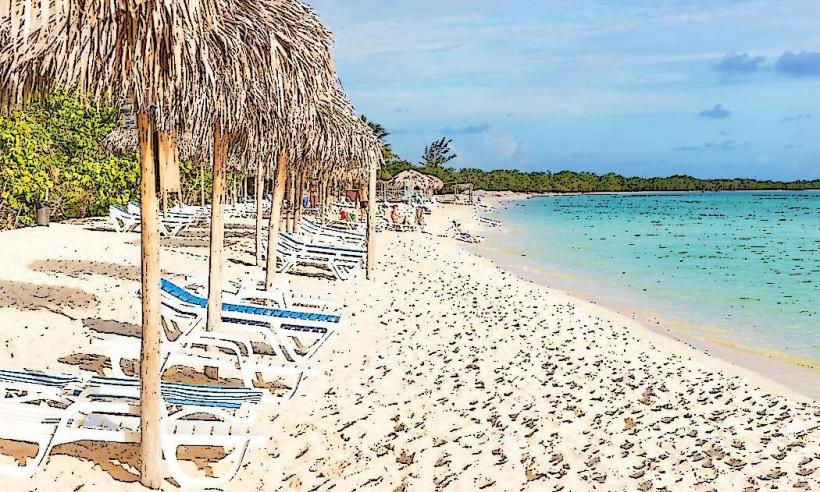
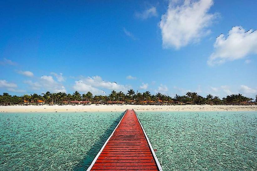
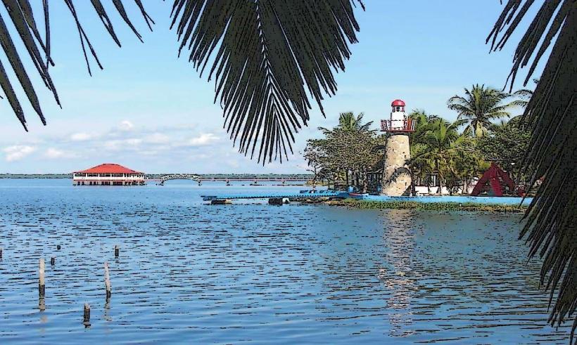
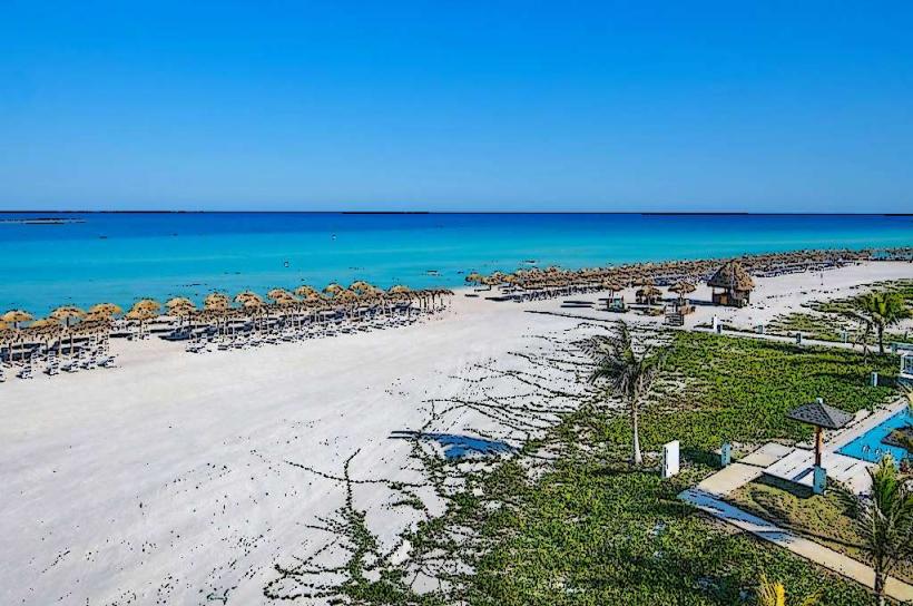
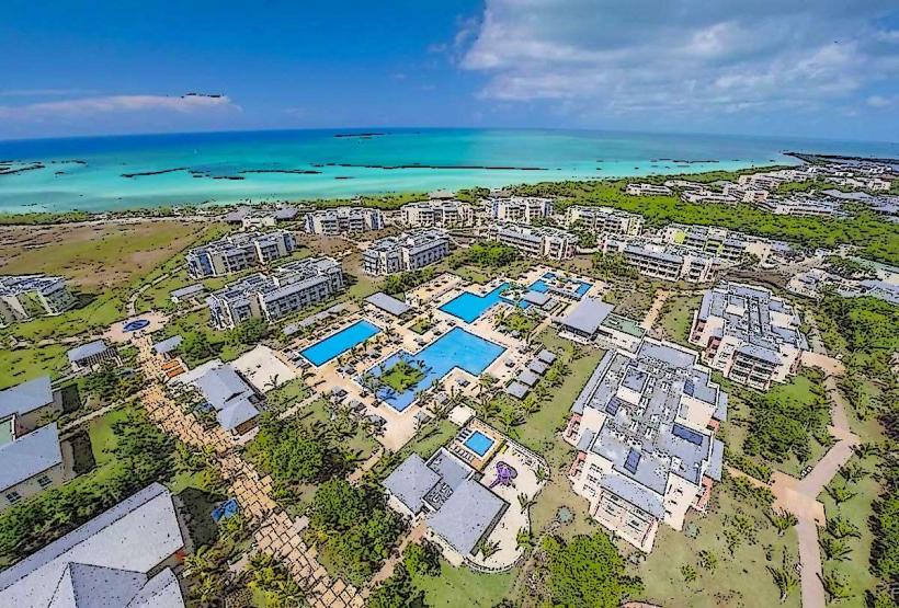
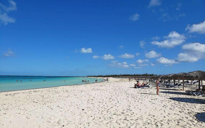
Cayo Coco / Cayo Guillermo: Most international travelers stay in these all-inclusive zones, 90–100 km north of the city.
Local Cost Index
1 Espresso: 80–150 CUP
1 Standard Lunch (Paladar): 1,000–1,800 CUP
1 Horse-Carriage Ride: 50–150 CUP
Nearby Day Trips
Morón: 36 km (40 minutes), a historic town known for the "Rooster of Morón" statue and as the jump-off point for the keys.
Laguna de la Leche: 40 km (45 minutes), the largest natural lake in Cuba, known for its "milky" appearance due to lime deposits.
Cayo Coco: 95 km (1.5 hours), world-class beaches connected by a 27 km stone causeway (pedraplén).
Facts & Legends
Ciego de Ávila is often called "The City of Portals" because of the continuous covered walkways that allow pedestrians to traverse the center without being exposed to the sun or rain. A local legend describes the "Trocha" being haunted by the spirits of Spanish soldiers who succumbed to yellow fever while guarding the line. Historically, the city was a critical site for the 19th-century sugar industry, hosting some of the most technologically advanced mills of that era.