Information
City: Coral CoastCountry: Fiji
Continent: Australia
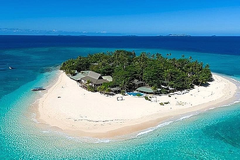
Coral Coast, Fiji, Australia
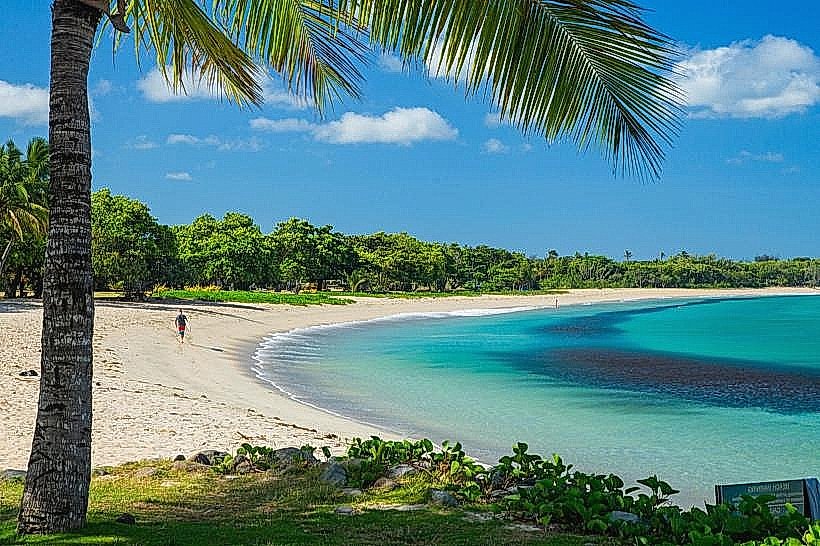
The Coral Coast is a 130-kilometer stretch of coastline that functions as the primary tourism corridor and maritime logistical link between Fiji's western and central divisions. It is situated on the southern shore of Viti Levu, extending from Sigatoka in the west to Pacific Harbour in the east.
Historical Timeline
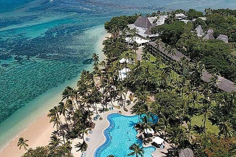
The Coral Coast was the site of the first major tourism development in Fiji during the 1950s and 1960s, transitioning the region from a purely subsistence and sugarcane economy to a service-based economy. The formalization of the "Coral Coast" brand occurred in the late 1960s with the construction of the Korolevu Beach Hotel, the country's first international-standard resort. The primary event shaping the current urban form was the completion of the Queens Road sealing project in the 1970s, which established the linear settlement pattern of resorts and villages that defines the region today.
Demographics & Population
The total population residing along the Coral Coast corridor is approximately 65,000. The demographic profile is predominantly iTaukei (Indigenous Fijian) at 60%, followed by Indo-Fijians at 35%, with a significant expatriate minority concentrated in the Korolevu and Sigatoka districts. The median age is 28.5 years, reflecting a young labor force engaged in the hospitality and agricultural sectors.
Urban Layout & Key Districts
The region is organized linearly along the Queens Road, which runs parallel to the coastline. It is divided into three primary sectors: the Western Sector (Sigatoka/Kulukulu), the Central Sector (Korolevu/Nametakula), and the Eastern Sector (Vunaniu/Pacific Harbour). The most critical district for logistics is Sigatoka Town, which serves as the administrative and commercial anchor for the western half of the coast.
Top City Landmarks
Sigatoka Sand Dunes: A 650-hectare archaeological and ecological preserve.
Kula Wild Adventure Park: Fiji’s largest captive breeding center for endangered endemic species.
Tavuni Hill Fort: A semi-restored Tongan defensive site overlooking the Sigatoka River.
The Eco-Trax Base: A decommissioned sugarcane railway repurposed for electric-assisted cycling tours.
Korolevu Airstrip: A historic transit point for early mid-century aviation tourism.
Transportation Network
Movement is facilitated almost exclusively via the Queens Road. "Shore-to-Shore" and "Pacific" express buses provide scheduled transport between Nadi and Suva, stopping at major resorts. Local transport relies on white metered taxis based in Sigatoka and unmetered "carriers" (open-back trucks) for village-to-market transit. Traffic density is moderate but prone to delays at the Sigatoka Bridge and during seasonal sugarcane harvesting.
Safety & "Red Zones"
The general safety level is high within resort perimeters, though opportunistic theft occurs in public beach areas. Specific areas to exercise caution include the Sigatoka market area on Saturdays and the beach road in Korolevu after midnight. Night driving is hazardous due to the lack of street lighting and the high frequency of stray livestock (cattle and horses) on the Queens Road.
Digital & Financial Infrastructure
Internet speeds average 15–25 Mbps. Mobile carriers Vodafone and Digicel maintain 4G towers along the coastline, though "dead zones" exist in the mountainous terrain between Korolevu and Pacific Harbour. Card acceptance is high in resorts but low in roadside stalls and villages. ATMs are scarce; they are only reliably found in Sigatoka Town and Pacific Harbour.
Climate & Air Quality
The Coral Coast experiences a tropical marine climate with a distinct rain shadow effect in the west. Daytime temperatures range from 26°C in July to 31°C in January. Air quality is excellent, characterized by constant southeasterly trade winds. The primary weather risk is storm surges and coastal flooding during the cyclone season (November–April).
Culture & Social Norms
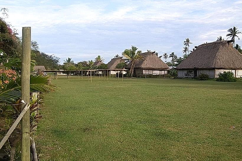
Tipping is not mandatory but 5–10% is customary for tour guides. When entering villages, a "Sevusevu" (presentation of Kava root) is required if visiting in a non-commercial capacity. Conservative dress is strictly enforced in villages; women must cover shoulders and knees. It is a social taboo to touch a person's head or to wear hats/sunglasses while inside a village boundary.
Accommodation Zones
Korolevu: Recommended for logistics; centrally located for access to both Nadi and Suva-based activities.
Sigatoka/Bila: Recommended for walking access to the Sand Dunes and local commercial infrastructure.
Local Cost Index
1 Espresso: 7.00 FJD ($3.13 USD)
1 Standard Lunch: 18.00–30.00 FJD ($8.04–$13.39 USD)
1 Taxi (10km): 15.00–20.00 FJD ($6.70–$8.93 USD)
Nearby Day Trips
Biausevu Waterfall: 5 km inland from Queens Road (30-minute trek).
Natadola Beach: 45 km west (50-minute drive).
Navua River Rafting: 60 km east (1-hour drive).
Robinson Crusoe Island: 15-minute boat transfer from Likuri Jetty.
Facts & Legends
The Coral Coast is the setting for the legend of the "Red Prawns of Vatulele," located just offshore. Oral history states that these prawns are sacred and protected by a local deity; if a person attempts to remove or harm them, they will suffer a shipwreck before reaching the mainland. Archaeologically, the region is famous for the "Lapita" pottery shards found in the dunes, which provided the first scientific evidence that Fiji was settled by seafaring migrants from the West over 3,000 years ago.