Information
Landmark: Natadola BeachCity: Coral Coast
Country: Fiji
Continent: Australia
Natadola Beach, Coral Coast, Fiji, Australia
Coral Coast (Viti Levu)
The Coral Coast is an 80km stretch of coastline along the southern shores of Viti Levu, extending from Sigatoka to Pacific Harbour. It is defined by its extensive fringing reef system, which remains in close proximity to the shoreline.
Regional Characteristics
The topography consists of a narrow coastal plain backed by steep, forested hills and volcanic ridges. The marine environment features shallow lagoons protected by the reef, supporting significant seagrass meadows and coral colonies. The climate is characterized by higher rainfall than the "dry" western side of the island but remains sheltered from the most intense southern swells.
Major Towns & Hubs
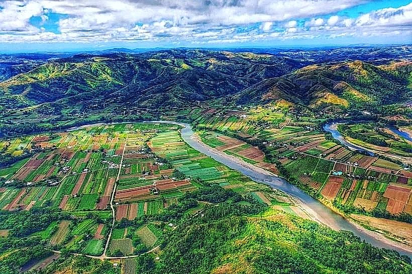
Sigatoka: The administrative and commercial center of the Coral Coast. It is the primary node for agricultural trade via the Sigatoka Valley and the gateway to the National Sand Dunes.
Korotogo: Located 8km east of Sigatoka, known as the "Sunset Strip." It contains a high density of mid-range resorts, private villas, and independent restaurants.
Korolevu: A central coastal village that serves as a mid-way point between Nadi and Suva. It hosts several large-scale resorts and a localized commercial center with basic amenities.
Pacific Harbour: The eastern terminus of the Coral Coast. It is a purpose-built tourism and residential hub specializing in adventure activities, shark diving, and golf.
Natadola Beach
Natadola Beach is a 2km crescent-shaped bay located on the southwestern coast of Viti Levu. It is widely regarded as the only true "all-tide" swimming beach on the main island due to its deep-water channel and lack of a fringing reef directly against the shore.
Visual Characteristics
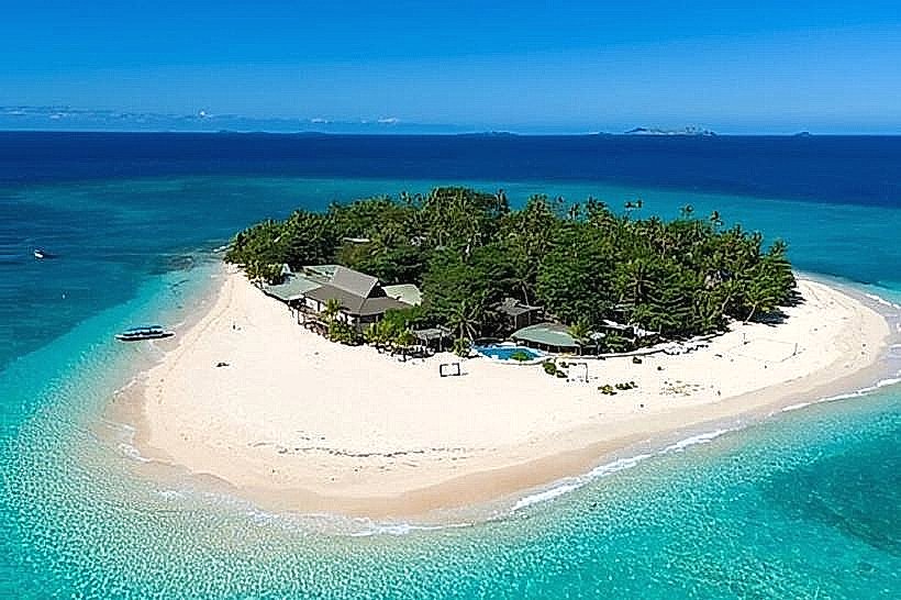
The beach is composed of fine, white coralline sand. Unlike most mainland beaches, the seafloor drops off progressively, allowing for swimming regardless of tidal state. The northern end of the bay features a small, forested islet (Natadola Island) accessible by wading at low tide. Vegetation is dominated by coconut palms and specialized coastal grasses.
Location & Access Logistics
The beach is situated approximately 45km south of Nadi International Airport and 15km west of Sigatoka. Access is via Maro Road, a 10km paved turnoff from the Queens Road highway.
Public Access: A dedicated public entrance and parking area are located at the northern end of the beach.
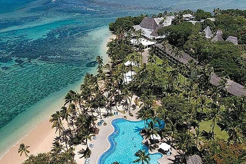
Resort Access: The southern half of the beach is occupied by the InterContinental Fiji Golf Resort & Spa.
Transit: There is no direct public bus service to the shore; travelers must use private vehicles or taxis from the Maro junction.
Key Highlights & Activities
Surfing: The "Natadola Inside" break provides beginner-friendly waves, while "Natadola Outside" at the reef entrance offers a high-performance left-hand break for experienced surfers.
Horse Riding: Local operators offer guided horseback tours along the shoreline; prices are generally negotiated on-site.
Snorkeling: The most viable snorkeling is located around the northern rocky outcrops and the small island during calm sea states.
Infrastructure & Amenities
Infrastructure at the public end is minimal, consisting of a basic shaded pavilion and unstructured parking. There are no public restrooms or changing facilities outside of the resort properties. Local vendors at the public beach sell refreshments and offer traditional massages under the trees. Cellular signal (4G/5G) is consistently strong.
Nearby Landmarks
InterContinental Fiji Golf Resort: 0.1km South
Natadola Bay Championship Golf Course: 1.0km South
Yatule Resort & Spa: 0.2km South
Maro Junction: 10km East
Sigatoka Town: 15km East