Information
Landmark: Sigatoka ValleyCity: Coral Coast
Country: Fiji
Continent: Australia
Sigatoka Valley, Coral Coast, Fiji, Australia
The Sigatoka Valley is a fertile agricultural region extending inland from Sigatoka Town along the Sigatoka River. Known as "Fiji's Salad Bowl," it is the nation's primary producer of vegetables and fruits for both domestic consumption and export.
Visual Characteristics
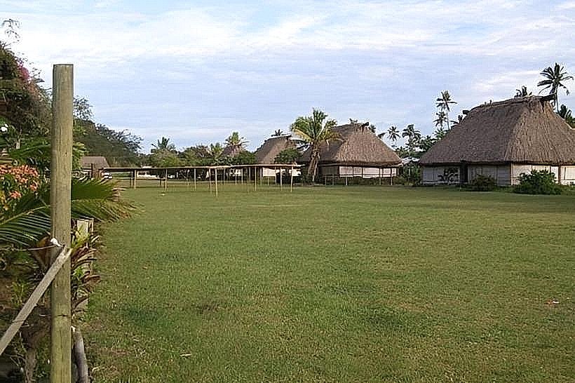
The valley landscape is defined by wide alluvial plains and tiered river terraces flanked by steep, emerald-green volcanic hills. The terrain is a patchwork of intensive cultivation, including fields of tomatoes, watermelons, cabbages, and tobacco. The Sigatoka River meanders through the center, its color transitioning from deep brown during the rainy season to a clearer green in the dry season. Numerous small clusters of traditional and modern Fijian dwellings are situated on the higher ground overlooking the fields.
Location & Access Logistics
Access is via the Sigatoka Valley Road, which begins in Sigatoka Town and extends approximately 50km into the interior of Viti Levu. The road is paved for the first 15km, after which it transitions to gravel and becomes increasingly rugged.
Public Transit: Regular "Valley Bus" services depart from the Sigatoka Bus Station, reaching various inland villages.
Self-Drive: A 4WD vehicle is recommended for exploring beyond the paved section, particularly during the wet season.
Tours: Commercial "Road Safari" operators provide guided 4WD excursions into the upper valley.
Historical & Ecological Origin
The valley was formed by the long-term erosive action and sediment deposition of the Sigatoka River. It has been a center of human settlement for over 2,500 years; the fertile soils and defensive heights made it a strategic territory for ancient tribes. The upper reaches of the valley remain a stronghold of traditional Fijian culture, where many villages maintain ancestral land rights and customs largely independent of the coastal tourism hubs.
Key Highlights & Activities
Agricultural Observation: The lower valley offers direct insight into Fiji’s commercial farming techniques and seasonal crop cycles.
Namosi Highlands Access: The road serves as a gateway for trekkers heading toward the Namosi Highlands and the central mountain range.
Village Visits: Many inland villages offer cultural experiences and traditional kava ceremonies for visitors traveling with organized tours or local guides.
Tavuni Hill Fort: Situated on a limestone ridge overlooking the lower valley, this 18th-century defensive site provides panoramic views of the river system.
Infrastructure & Amenities
Infrastructure is primarily geared toward agricultural transport. The paved section contains several small service stations and local grocery stores. Beyond the pavement, amenities are limited to basic village shops. Cellular signal (4G) is reliable in the lower valley but becomes intermittent and eventually non-existent in the deep interior folds of the upper valley. Public restrooms are not available outside of Sigatoka Town.
Best Time to Visit
The dry season (May to October) is the optimal time for travel, as the road conditions are stable and the harvest activity is at its peak. Early morning (7:00 AM – 9:00 AM) is recommended for photography to capture the mist lifting off the river and the vibrant colors of the valley floor before the midday sun flattens the contrast.
Facts & Legends
Local legends describe the valley as the path taken by spirits traveling from the interior to the coast. The limestone caves found in the valley walls were historically used as burial sites and defensive retreats during tribal warfare. The "Salad Bowl" moniker originated in the mid-20th century as the region scaled up to provide the majority of the fresh produce required by the growing tourism industry in Nadi and the Coral Coast.
Nearby Landmarks
Sigatoka Town: 1.0km South (lower valley start)
Tavuni Hill Fort: 4.0km North
Sigatoka River: 0.1km West
Nakalavo Village: 12.0km North
Sigatoka Sand Dunes: 5.0km Southwest