Information
City: HaverhillCountry: USA Massachusetts
Continent: North America
Haverhill, USA Massachusetts, North America
Haverhill is an independent city in Essex County, situated on the Merrimack River on the New Hampshire border. It is a historic industrial center, defined by its 19th-century status as the "Queen Shoe City" of the world and its modern revitalization as a transit-oriented residential hub.
Historical Timeline
Inhabited by the Pentucket tribe of the Pennacook people. Primary governance eras include its 1640 founding by settlers from Ipswich and its 1870 incorporation as a city. A critical historical event was the 1708 raid during Queen Anne's War, featuring the legendary escape of Hannah Duston. In the 19th century, Haverhill became a global leader in shoe manufacturing, producing one-tenth of all shoes in the U.S. by the end of the century. The late 20th century was marked by industrial decline, while the 21st century has seen the conversion of massive brick factories into luxury lofts and a thriving downtown culinary scene.
Demographics & Population
The population is approximately 67,500. The demographics are White (65%), Hispanic or Latino (22%), Black or African American (4%), and Asian (2%). It is a diverse, working-class to middle-class community with a high concentration of multi-generational families and a growing population of young professionals commuting to Boston.
Urban Layout & Key Districts
Haverhill is one of the largest cities by land area in Massachusetts, featuring both high-density urban zones and rural farmland.
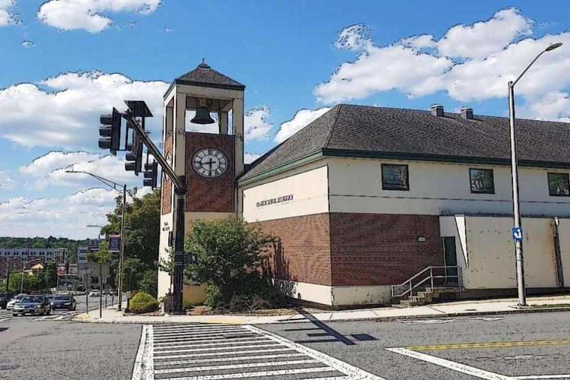
Downtown / Washington Street: The historic core, characterized by massive red-brick shoe factories converted into lofts, restaurants, and independent retail.
Mount Washington: A high-density residential neighborhood overlooking the downtown, historically home to immigrant labor.
Bradford: Located across the Merrimack River; a predominantly residential, suburban district known for its historic academy and "village" feel.
Riverside: A residential area stretching along the northern bank of the river toward Groveland.
The Rocks Village: A well-preserved historic village on the eastern edge of the city featuring 18th-century architecture.
Top City Landmarks
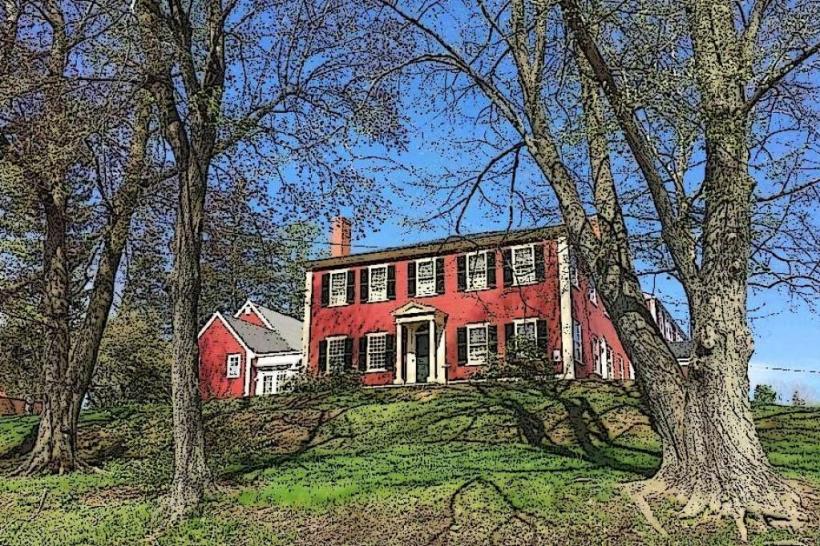
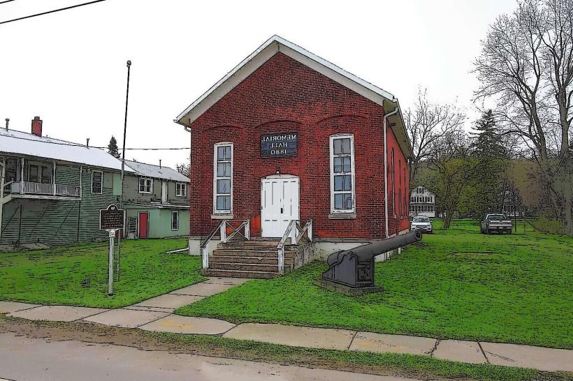
Buttonwoods Museum: The home of the Haverhill Historical Society, featuring the 1711 John Ward House and extensive shoe industry archives.
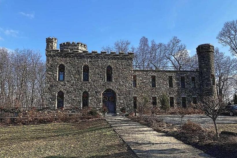
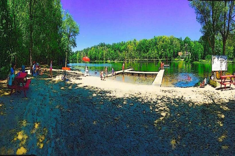
Winnekenni Castle: A late 19th-century stone castle situated in a massive park and conservation area overlooking Kenoza Lake.
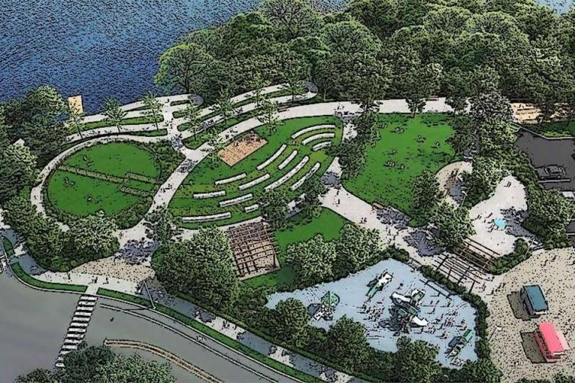
Haverhill Boardwalk: A scenic pedestrian path along the Merrimack River in the downtown district.
Hannah Duston Statue: A monument in Grand Army of the Republic Park dedicated to the 1697 captive.
Ski Bradford: A regional family-oriented ski area located in the Bradford district.
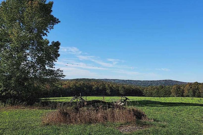
Tattersall Farm: A 150-acre historic farm and conservation site used for education and hiking.
Transportation Network
Movement is serviced by the MVRTA (bus system) and the MBTA Commuter Rail (Haverhill Line), which features two stops (Haverhill and Bradford). The city is a major junction for I-495 and Route 125. Commercial air service is via Logan International (BOS) or Manchester-Boston Regional (MHT). Ride-sharing is universal. Traffic density is high at the Basiliere Bridge during peak hours.
Safety & "Red Zones"
The general safety level is moderate. Property crime, specifically "theft from auto" and bicycle theft, is the primary issue. Caution is advised at night in parts of the Mount Washington neighborhood and specific blocks in the Lower Acre due to higher rates of narcotics-related activity. There are no officially designated "red zones." Environmental hazards include seasonal river flooding along the Merrimack and icy conditions on the city’s many hills.
Digital & Financial Infrastructure
Internet speeds average 500+ Mbps with fiber availability via Xfinity and Verizon Fios. Main mobile carriers are Verizon and AT&T. Card acceptance is universal. ATMs are concentrated in Downtown and the Bradford commercial squares.
Climate & Air Quality
Temperatures range from -7°C to 1°C in winter and 17°C to 28°C in summer. The city's position in the Merrimack Valley can trap humidity in the summer. Air quality is moderate, typically high, but influenced by regional traffic on I-495.
Culture & Social Norms
The standard tipping percentage is 18–25%. A handshake is the standard greeting. Dress codes are "Urban-Casual" or "Workwear-Practical." The city is culturally defined by its "Shoe City" resilience, its growing arts community, and its status as a gateway between the Boston metro area and southern New Hampshire.
Accommodation Zones
Downtown: Recommended for loft-style boutique stays and proximity to the rail station.
I-495 / River Street: Recommended for standard national hotel chains and transit convenience.
Local Cost Index
1 Espresso: $4.25 (USD)
1 Standard Lunch: $17.00 (USD)
1 Commuter Rail Fare (to Boston): $11.50 (Single).
Nearby Day Trips
Salisbury Beach: (25 km east).
Newburyport: (20 km east; historic maritime downtown).
Salem, NH: (15 km west; tax-free shopping and Tuscan Village).
Facts & Legends
Haverhill is the birthplace of the legendary poet John Greenleaf Whittier. Historically, the city was a primary target for Native American raids during the colonial era due to its frontier position. A local legend involves the "Ghost of Winnekenni Castle," rumored to be a Victorian-era figure seen on the trails at night. Another legend concerns "The Pentucket Cache," referring to rumored jars of colonial coins buried along the riverbanks during the 1708 raid.