Information
City: LancasterCountry: USA Pennsylvania
Continent: North America
Lancaster, USA Pennsylvania, North America
Lancaster functions as the administrative seat of Lancaster County and a regional hub for tourism, healthcare, and advanced manufacturing. It is located in South Central Pennsylvania, approximately 115 km west of Philadelphia.
Historical Timeline
Lancaster was founded in 1730 and was incorporated as a borough in 1742. It served as the capital of the United States for a single day on September 27, 1777, during the American Revolutionary War, and as the capital of Pennsylvania from 1799 to 1812. The most significant period of industrialization occurred between 1850 and 1920, fueled by the expansion of the Pennsylvania Railroad and the rise of the Armstrong Cork Company. The primary event shaping its current urban form was the mid-20th-century suburban shift, followed by a concentrated downtown revitalization effort starting in the late 1990s.
Demographics & Population
The population within the city limits is approximately 58,400, while the Lancaster metropolitan area comprises roughly 538,000 residents. The top three ethnic demographics are White (47.5%), Hispanic/Latino of any race (38.2%), and Black or African American (14.7%). The median age of the city population is 31.9 years.
Urban Layout & Key Districts
The city is organized on a traditional grid system centered at Penn Square, where King and Queen Streets intersect. The Downtown/Central Business District is the primary zone for commerce and tourism at the center. The Northwest Corridor contains Franklin & Marshall College and modern residential developments, while the South Side is characterized by industrial heritage and a significant Hispanic cultural influence.
Top City Landmarks
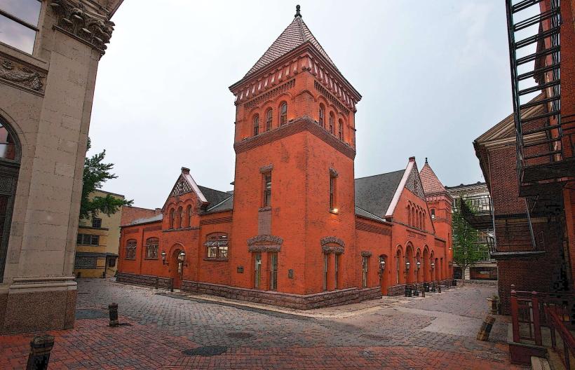
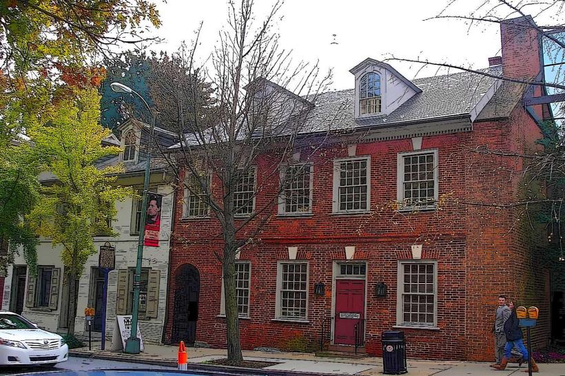
Central Market (the oldest continuously operated public market in the US)
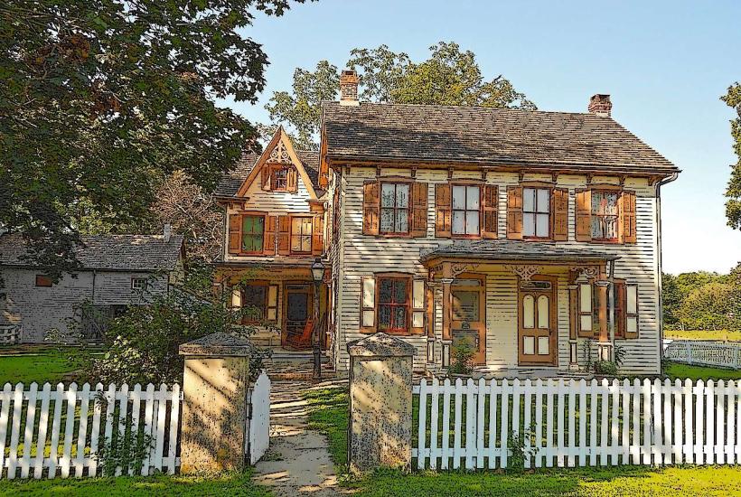
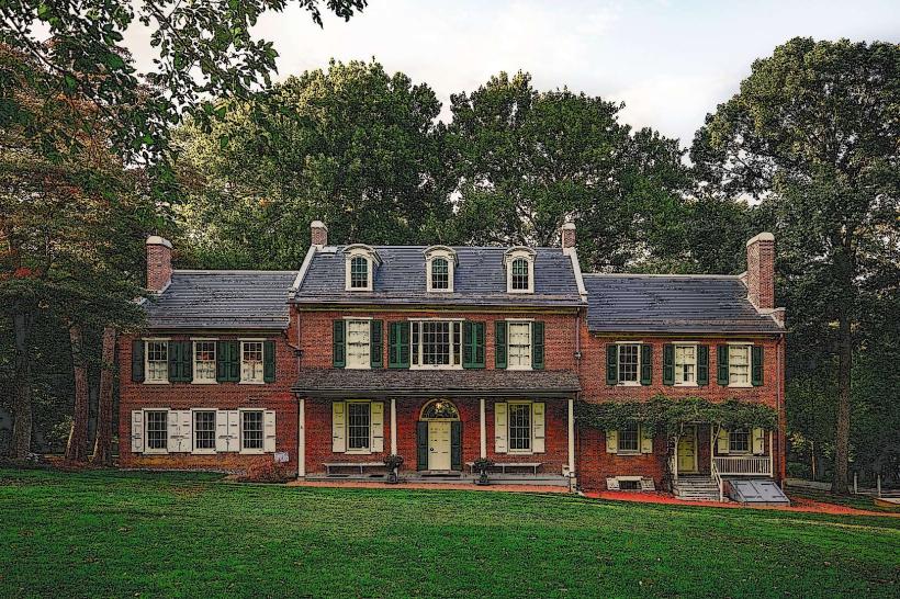
Wheatland (James Buchanan’s estate)
Old City Hall
Transportation Network
Movement within the city is facilitated by the Red Rose Transit Authority (RRTA) bus system. There are no metro or tram lines. Ride-sharing via Uber and Lyft is the standard for non-vehicular travel. Official taxis are generally silver or white. Traffic density is moderate but increases significantly on Route 30 and Route 222 during peak morning and afternoon hours.
Safety & "Red Zones"
The general safety level is moderate to high. Travelers should exercise heightened awareness at night in the Southeast and Southwest quadrants, specifically near areas of high poverty concentration. Common scams are rare but typically involve fraudulent "tourist info" or aggressive panhandling near the Central Market and Penn Square.
Digital & Financial Infrastructure
The average internet speed is approximately 250 Mbps, with fiber providers like Glo Fiber and EarthLink offering up to 5 Gbps in select areas. Primary mobile carriers are Verizon, Xfinity Mobile, and T-Mobile. Card acceptance is high in the city center; however, many vendors at the Central Market and rural Amish-run businesses are cash-only. ATMs are ubiquitous in bank branches and Wawa convenience stores.
Climate & Air Quality
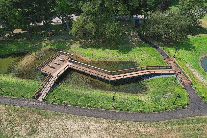
Temperatures range from -5°C to 4°C in January and 18°C to 30°C in July. Air quality is a noted issue; the metro area has recently ranked among the 25 most polluted in the U.S. for daily particle pollution. Weather risks include winter blizzards and occasional flooding from the Conestoga River during heavy rain events.
Culture & Social Norms
The standard tipping rate is 18–20%. A handshake is the conventional greeting. Dress codes are generally casual, though "Sunday best" is common in religious contexts. Smoking is prohibited in indoor public spaces. Due to the high concentration of Plain Sect (Amish and Mennonite) residents in the surrounding county, visitors should avoid photographing people without permission and observe heightened modesty in rural areas.
Accommodation Zones
Downtown/Penn Square: Recommended for immediate walking access to the Central Market, galleries, and historic sites.
Northwest Lancaster: Recommended for a quieter, residential atmosphere near the college and luxury boutique hotels.
Local Cost Index
1 Espresso: $3.50 (USD)
1 Standard Lunch: $16.00 (USD)
1 RRTA Bus Ticket: $1.80 (USD)
Nearby Day Trips
Lititz, PA (15 km)
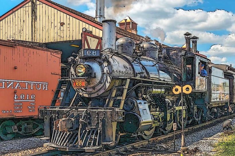
Strasburg/Railroad Museum of Pennsylvania (16 km)
Hershey, PA (45 km)
Gettysburg, PA (85 km)
Philadelphia, PA (115 km)
Facts & Legends
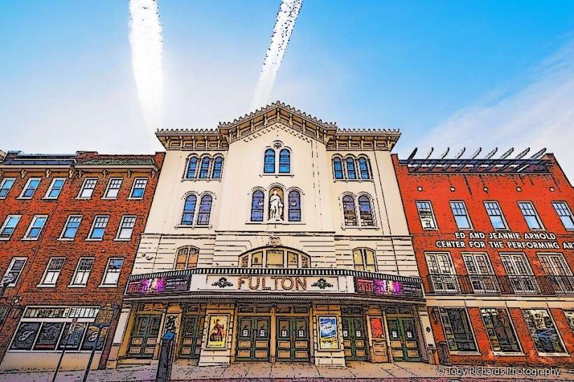
A local legend surrounds the ghost of General John Reynolds, who was killed at the Battle of Gettysburg. His spirit is said to haunt the streets near the Fulton Theatre and his former family home, searching for his fiancée to whom he had promised a safe return. Additionally, a "curse" is said to affect Chickies Rock, a nearby cliffside where numerous local tragedies and sightings of "shadow people" have been documented for over a century.