Information
City: MakiraCountry: Solomon Islands
Continent: Australia
Makira, Solomon Islands, Australia
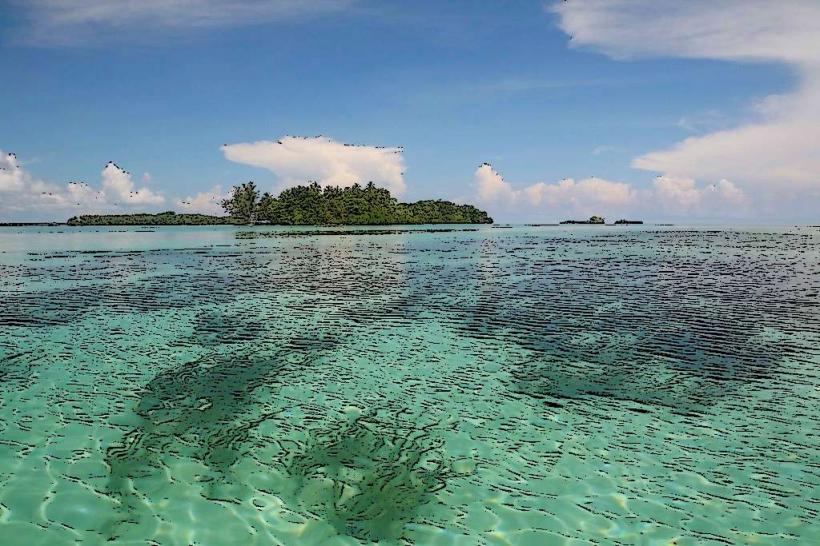
Makira, also known as San Cristobal, is the most isolated of the large islands in the Solomon Islands and the primary landmass of the Makira-Ulawa Province. It is characterized by rugged, mountainous terrain, extensive rainforests, and a coastline largely devoid of coral reefs compared to its western neighbors, which has preserved a unique "old Pacific" atmosphere.
Historical Timeline
The island has a deep history of isolation. It was largely bypassed by the major battles of World War II that defined Guadalcanal and the Western Province, though it served as a minor lookout post. Its modern history is defined by its resilience to natural disasters, including the 2016 magnitude 7.8 earthquake. In 2024–2026, the island has seen a shift toward agricultural modernization, highlighted by the opening of a major Commodities Export Marketing Authority (CEMA) buying center in January 2026 to support local cocoa and coconut farmers.
Demographics & Population (2026)
The estimated population of the Makira-Ulawa Province is approximately 60,000.
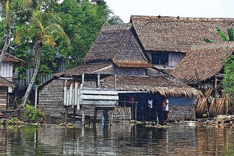
Concentration: Most residents live in small coastal villages; the interior remains largely uninhabited due to the steep, densely forested mountains.
Ethnic Profile: Over 98% are Melanesian. The island is known for preserving distinct traditional customs (kastom) and several unique languages, including Arosi, Bauro, and Kahua.
Youth: Like the rest of the country, the demographic is heavily weighted toward youth, with a median age of roughly 21 years.
Urban Layout & Districts
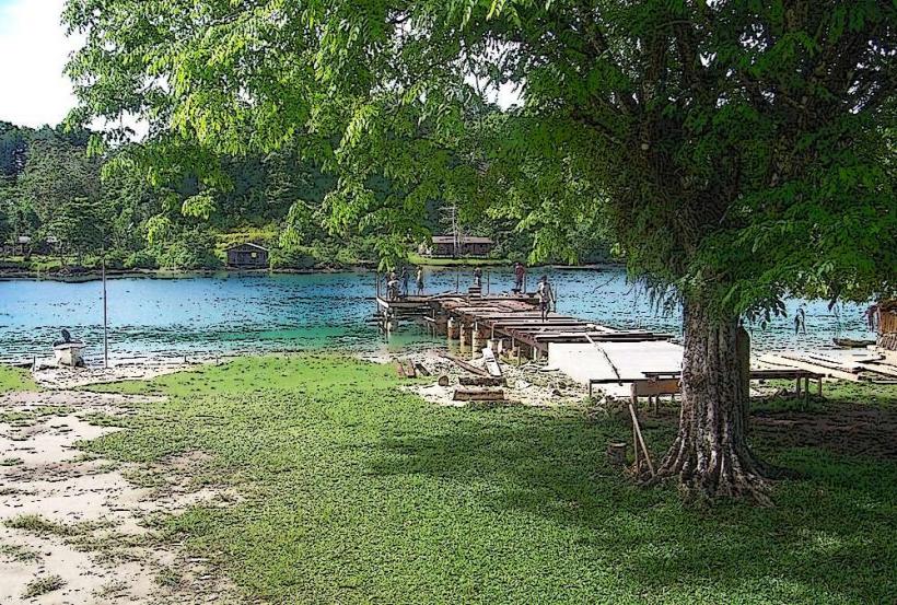
Kirakira: The provincial capital and only significant urban center, located on the north coast. It contains the province’s main hospital, government offices, and the primary airfield.
Star Harbour: Located at the eastern tip of the island, this area is the spiritual home of many of the island's unique traditional arts.
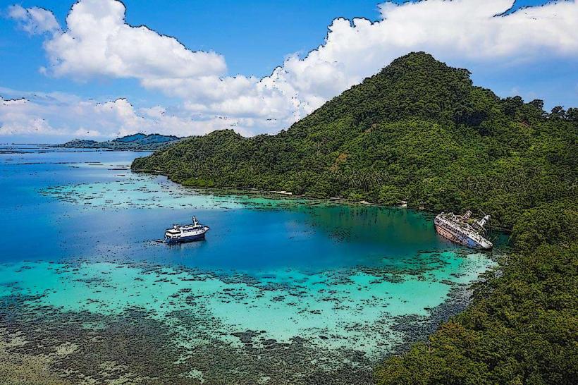
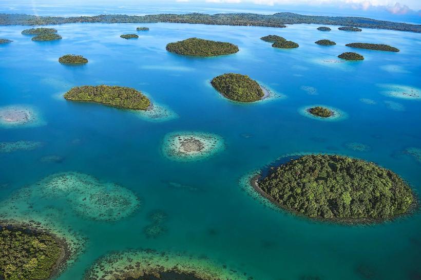
Three Sisters Islands (Olu Malau): A group of three small islands off the north coast (including Malaulalo) currently being developed for high-end eco-tourism.
Top Landmarks & Attractions
Malaulalo Island: A burgeoning eco-tourism site with pristine white sand beaches and a still-water mangrove lagoon.
Hautura & the Interior Mountains: A paradise for trekking and birdwatching; Makira is home to 12 endemic bird species found nowhere else on Earth.
Kirakira Beach: The social hub where local daily markets are held, featuring unique "six-month puddings" made from fermented taro.
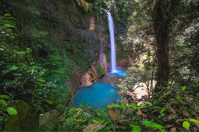
Bauhu Waterfall: A massive, remote waterfall located in the island's central rainforest.
Transportation & Infrastructure
Air: Kirakira Airport (KRA) is the main gateway, with flight connections to Honiara.
Maritime: The Land and Maritime Connectivity Project, funded by the ADB, is nearing completion in 2026. This includes the construction of the province's first "proper" passenger and cargo wharf in Kirakira, designed to eliminate the dangerous practice of unloading cargo via small boats.
Roads: Only a small stretch of road exists around Kirakira; most coastal travel is conducted via outboard motorboats (OBMs).
Current Status (January 21, 2026)
Weather: Today's conditions are humid and cloudy with a high of 29°C. The region is currently in its wet season, with frequent heavy tropical downpours.
Development News: The government recently completed electoral taskforce consultations in Makira (January 2026), part of a national effort to reform provincial voting systems.
Agriculture: The new CEMA buying center is actively processing the first major harvest of 2026, aimed at increasing the income of rural farmers.
Digital & Financial Infrastructure
Connectivity: 4G service is available in Kirakira but remains unreliable or non-existent in remote villages.
Finances: Solomon Islands Dollar (SBD). This is a strictly cash-based economy. There is a single bank branch (BSP) in Kirakira with a frequently utilized ATM; outside of the capital, no electronic payments are accepted.
Climate & Air Quality
Climate: Tropical rainforest climate with extreme humidity (85–95%).
Air Quality: Excellent (AQI 15). The air is among the cleanest in the Pacific due to the island's massive forest cover and total lack of industrial activity.
Local Cost Index (SBD)
Traditional Taro Pudding: $15 – $25
Guesthouse Night (Kirakira): $300 – $600
Boat Charter (Short distance): $200 – $400
Facts & Legends
A verified historical oddity: Makira is the only island in the Solomons that is home to a species of freshwater crocodile (Crocodylus porosus) that inhabits both the interior rivers and coastal mangroves. A local legend tells of the Kakamora, a race of "little people" (similar to leprechauns) said to live in the caves of the interior; unlike the helpful forest spirits of other cultures, the Kakamora are described as mischievous warriors who protect the island's deep wilderness from outsiders.