Information
Landmark: Roviana LagoonCity: Makira
Country: Solomon Islands
Continent: Australia
Roviana Lagoon, Makira, Solomon Islands, Australia
Roviana Lagoon is a large saltwater lagoon located in the Western Province of the Solomon Islands, adjacent to the island of New Georgia.
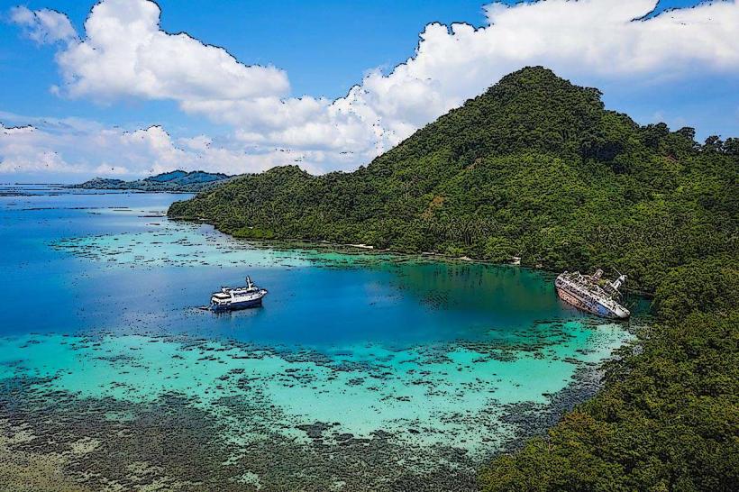
It is a significant marine ecosystem characterized by its extensive coral reefs and numerous small islands.
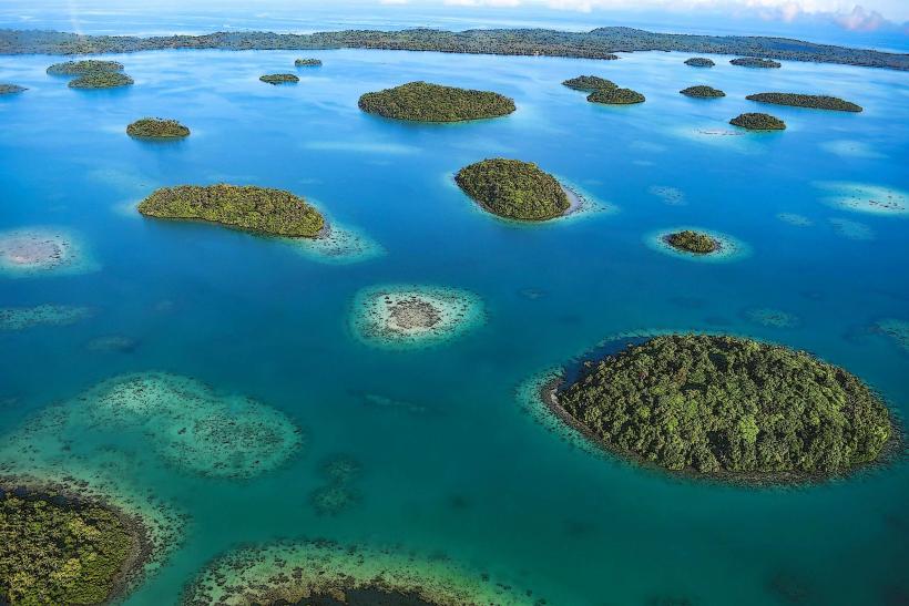
Visual Characteristics
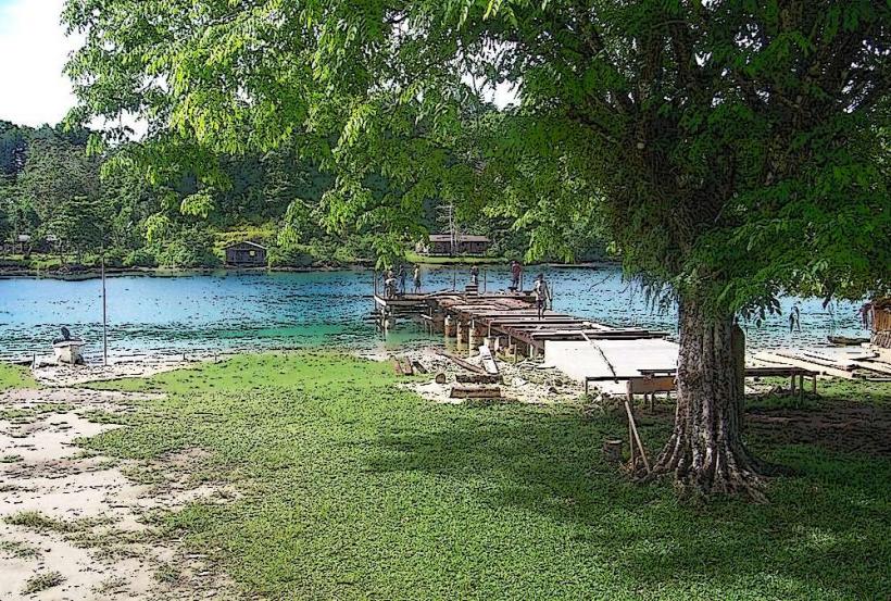
The lagoon's water exhibits varying shades of blue and green, influenced by depth and sediment. Coral formations are visible beneath the surface in shallower areas. The lagoon is dotted with numerous small, low-lying islands, many covered in dense tropical vegetation, primarily palm trees and various shrubs. The coastline of the larger islands surrounding the lagoon is characterized by sandy beaches and mangrove areas.
Location & Access Logistics
Roviana Lagoon is situated on the southern coast of New Georgia Island. The primary access point is Munda, a settlement located on the western end of New Georgia. Munda is accessible via domestic flights from Honiara International Airport (HIR) to Munda Airport (MDU). From Munda, boat transfers are the standard method of accessing the lagoon and its islands. There are no direct road connections into the lagoon itself. Parking is available at Munda's jetty facilities.
Historical & Ecological Origin
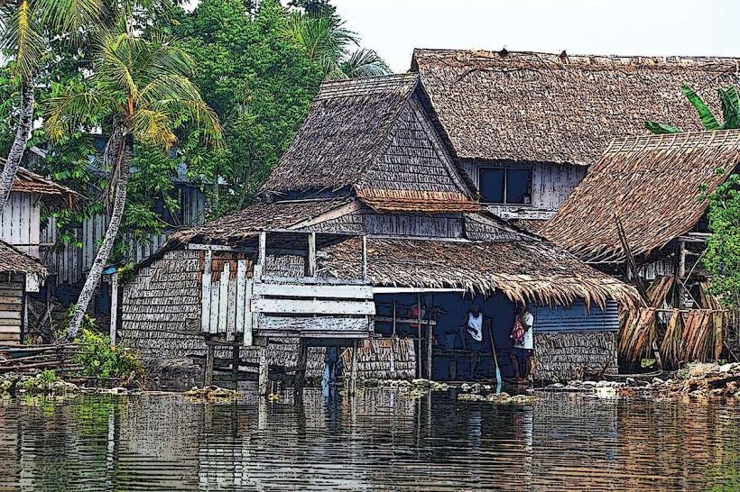
Roviana Lagoon is a geologically formed lagoon, likely created by the submergence of landmasses and the subsequent growth of coral reefs. Its ecological significance lies in its status as a complex reef system supporting high biodiversity. Historically, the lagoon and its surrounding islands were inhabited by the Roviana people, who utilized the lagoon for fishing and transportation. Numerous WWII relics, including aircraft and shipwrecks, are present on the lagoon floor due to its strategic importance during the conflict.
Key Highlights & Activities
Snorkeling and diving are primary activities, with numerous dive sites featuring coral gardens and marine life. Kayaking and paddleboarding are possible within the calmer sections of the lagoon. Island hopping to explore the smaller motus is a common pursuit. Fishing charters operate within the lagoon and surrounding waters. Visits to WWII historical sites, such as the Japanese bunker on Rendova Island (across the lagoon), are also undertaken.
Infrastructure & Amenities
Basic amenities are available on some of the larger islands and at Munda. These include limited restroom facilities and some small food vendors in Munda. Shade is provided by natural vegetation on the islands. Cell phone signal (primarily 2G/3G) is inconsistent within the lagoon, with better reception in Munda. There are no large-scale resorts directly within the lagoon; accommodation is primarily in Munda or on specific private islands.
Best Time to Visit
The dry season, from May to October, offers the most favorable weather conditions with reduced rainfall and calmer seas. The best time of day for underwater visibility is generally between 10:00 AM and 3:00 PM when sunlight penetrates the water effectively. Tidal variations can affect access to certain shallow reef areas, but are generally not a significant impediment to most activities.
Facts & Legends
A notable historical oddity is the presence of numerous WWII shipwrecks and aircraft scattered across the lagoon floor, making it a significant underwater historical site. Local lore speaks of ancient burial sites on some of the islands, often marked by large stone monoliths.
Nearby Landmarks
- Munda Point (0.8km West)
- John F. Kennedy Island (3.5km Southeast)
- Kolombangara Island (12km Northwest)
- Gizo Island (25km Northeast)