Information
Landmark: Moli RiverCity: Makira
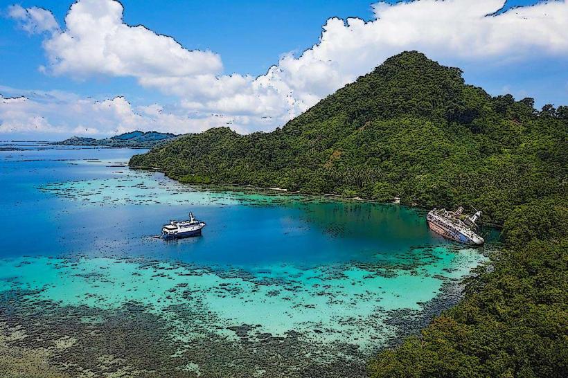
Country: Solomon Islands
Continent: Australia
Moli River, Makira, Solomon Islands, Australia
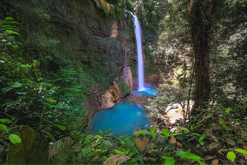
The Moli River is a freshwater river located in the Makira Province of the Solomon Islands. It flows through dense rainforest terrain.
Visual Characteristics
The river's water is typically clear to slightly brown, depending on recent rainfall, with a depth ranging from 0.5 meters to 3 meters in accessible areas. The riverbed consists of a mix of smooth stones, gravel, and occasional sand deposits. Banks are lined with dense tropical vegetation, including large ferns, palm trees, and various vine species. The canopy cover is significant, limiting direct sunlight in many sections.
Location & Access Logistics
The Moli River is situated approximately 15 kilometers inland from the provincial capital, Kirakira. Access is primarily via a rough, unpaved track branching off the main coastal road (Route 1) approximately 10 kilometers east of Kirakira. This track is suitable for 4x4 vehicles only and requires careful navigation. There is no designated parking; vehicles are typically parked on the side of the track near the river crossing. Public transport does not service this area directly. Local guides with 4x4 transport can be hired in Kirakira.
Historical & Ecological Origin
The Moli River is a natural waterway formed by the region's topography and consistent rainfall. Its ecological origin is that of a tropical rainforest river system, supporting a diverse range of endemic flora and fauna. The river's course has been shaped by erosion over millennia. There is no recorded historical construction or human intervention in its natural flow.
Key Highlights & Activities
Activities include freshwater swimming in designated deeper pools, birdwatching along the riverbanks, and guided nature walks focusing on rainforest ecology. Observing the local fish species is possible in clearer sections. Access to the river is generally on foot from the track.
Infrastructure & Amenities
There are no formal infrastructure or amenities directly at the Moli River. Visitors should bring all necessary supplies, including water and food. Restroom facilities are not available. Cell phone signal is unreliable and generally absent within 5 kilometers of the river.
Best Time to Visit
The best time for visiting is during the dry season, from May to October, to ensure easier track access and lower river levels. The best time of day for wildlife observation is early morning or late afternoon. High tide is not a relevant factor for this inland river.
Facts & Legends
Local folklore suggests that the Moli River is inhabited by water spirits that protect its purity. It is considered disrespectful to disturb the riverbed or leave any waste. A specific tip for visitors is to wear sturdy, waterproof footwear due to slippery rocks and uneven terrain.
Nearby Landmarks
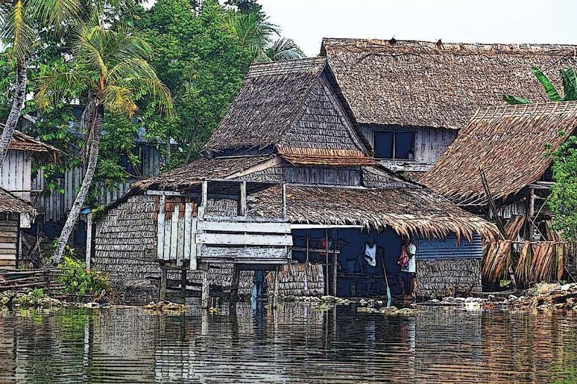
- Kirakira Town (15km Southwest)
- Makira-Ulawa Provincial Government Office (15km Southwest)
- Local villages along Route 1 (10-12km Southwest)