Information
Landmark: Vanikoro IslandCity: Makira
Country: Solomon Islands
Continent: Australia
Vanikoro Island, Makira, Solomon Islands, Australia
Vanikoro Island is a volcanic island located in the Solomon Islands archipelago, within the Makira Province.
It is the southernmost island of the Santa Cruz Islands group.
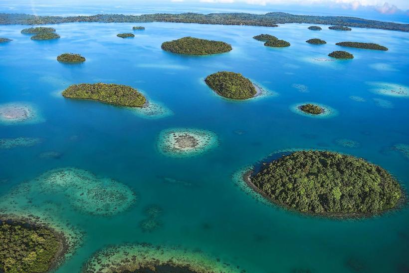
Visual Characteristics
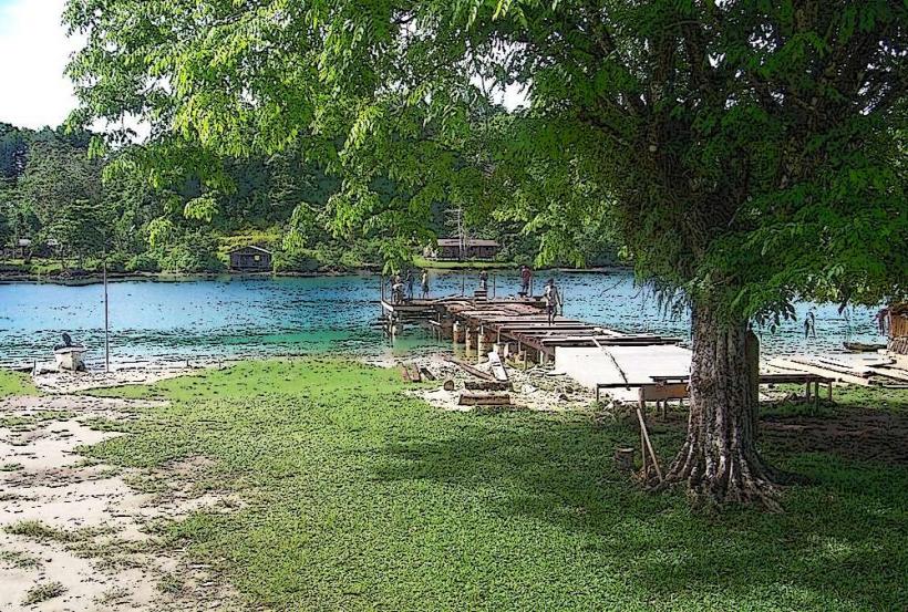
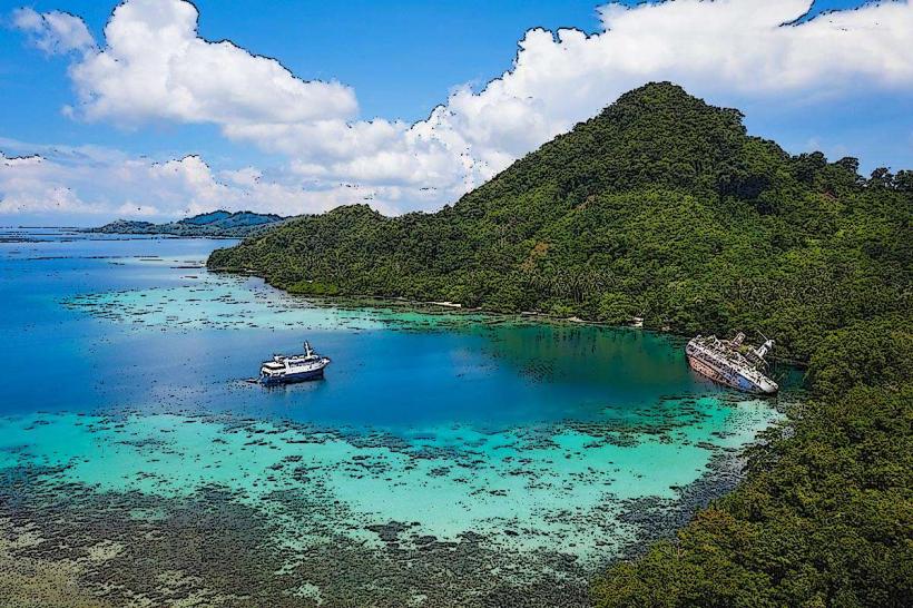
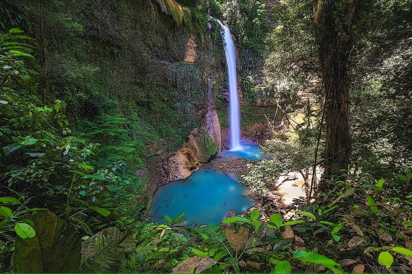
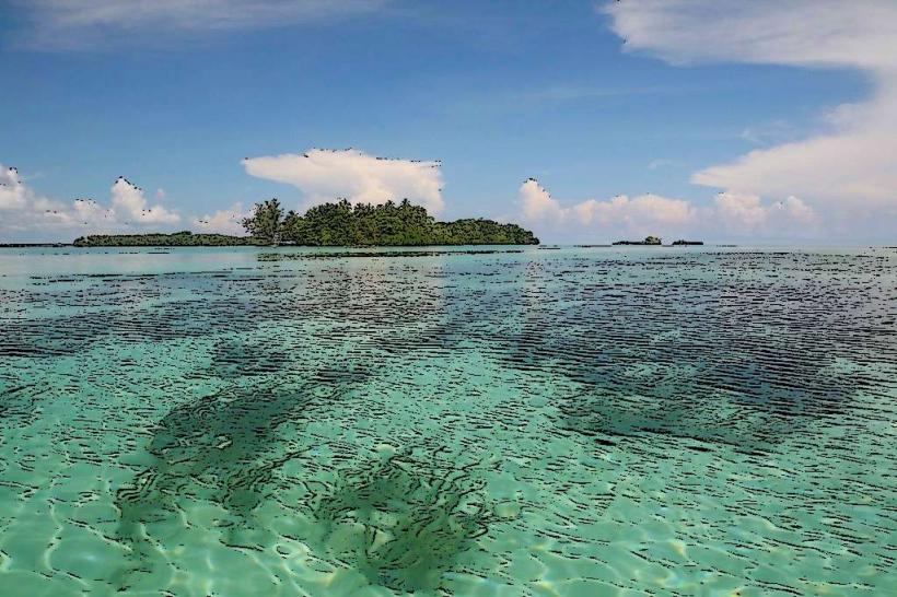
Vanikoro Island is characterized by its volcanic origin, featuring rugged terrain and steep slopes. The island is covered in dense tropical rainforest. Its coastline is a mix of rocky shores and small sandy coves. The surrounding waters are typically clear, with coral reefs present in shallower areas.
Location & Access Logistics
Vanikoro Island is situated approximately 150 kilometers southeast of Makira Island. Access is primarily via small aircraft to the island's airstrip, which receives infrequent charter flights from Honiara or provincial centers. Boat transport is also possible but is less common and subject to weather conditions. There are no established road networks on the island; movement is by foot or small boat.
Historical & Ecological Origin
Vanikoro is a stratovolcano, with its last known eruption occurring in the Holocene epoch. The island's dense rainforest ecosystem supports a variety of endemic and indigenous flora and fauna. Historically, the island is known for the wreck of the French explorer La Pérouse's ships, the Boussole and the Astrolabe, in 1788.
Key Highlights & Activities
Activities on Vanikoro are limited due to its remote nature. Potential activities include exploring the island's interior on foot, observing local flora and fauna, and visiting sites related to the La Pérouse expedition. Snorkeling and diving are possible in the surrounding waters, though infrastructure for these activities is minimal.
Infrastructure & Amenities
Infrastructure on Vanikoro Island is basic. There are no formal tourist facilities. Limited cell phone signal may be available in certain coastal areas. Basic supplies can be obtained from the small local villages. Restrooms and shade are not readily available outside of village areas.
Best Time to Visit
The dry season, from June to September, offers the most favorable weather conditions for travel, with reduced rainfall. The best time of day for photography depends on the specific location, but early morning and late afternoon provide softer light. Access is highly dependent on flight schedules and sea conditions.
Facts & Legends
Vanikoro is famously associated with the disappearance of Jean-François de Galaup, comte de Lapérouse, a French naval officer and explorer. His two ships, the Boussole and the Astrolabe, were wrecked on the island's reefs in 1788. Artifacts from the expedition have been recovered over the years, and the island remains a site of historical interest for maritime archaeology.
Nearby Landmarks
- Makira Island (approx. 150km Northwest)
- Utupua Island (approx. 70km Northeast)
- Santa Cruz Islands (main group) (approx. 100km Northeast)