Information
City: MonticelloCountry: USA Utah
Continent: North America
Monticello, USA Utah, North America
Monticello is the seat of San Juan County and the second-most populous city in southeastern Utah. Situated at an elevation of 7,070 feet (2,155 m) at the base of the Abajo Mountains, it serves as a high-altitude gateway to Canyonlands National Park and the Manti-La Sal National Forest.
Historical Timeline
Originally inhabited by the Ancestral Puebloans and later the Ute and Navajo nations. The town was settled in 1887 by LDS pioneers as part of a mission to establish a presence in the rugged "Four Corners" region. In the mid-20th century, Monticello became a critical center for the American uranium boom; a federally operated uranium mill processed ore here from 1942 to 1960, leaving a legacy of environmental remediation that has since been completed, transforming the mill site into a public park.
Demographics & Population
The estimated 2026 population is 1,812.
Composition: 82.5% White, 13.8% Hispanic/Latino, 1.2% Native American, and 2.5% multiracial.
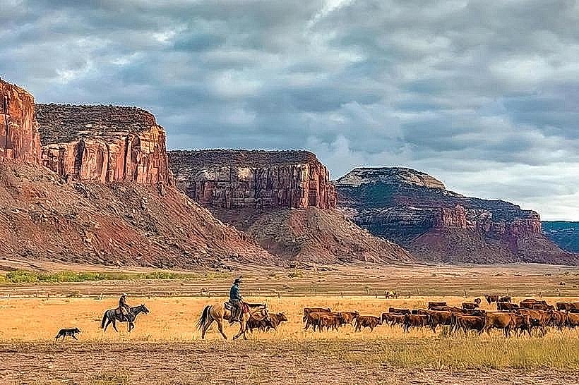
Economics: Median household income is $56,339. The economy relies on government services, ranching, and outdoor tourism.
Density: Monticello is the most significant service hub for several hundred miles along the US-191 corridor.
Urban Layout & Landmarks
Main Street (US-191): The primary north-south artery containing the majority of the town's services, motels, and the historic Frontier Museum.
Monticello Utah Temple: A prominent landmark of the LDS Church, constructed of white marble.
Canyonlands Resort/Golf Course: A high-elevation 9-hole course known for dramatic mountain and desert views.
The Hideout Community Center: A focal point for local events and regional administration.
Regional Access
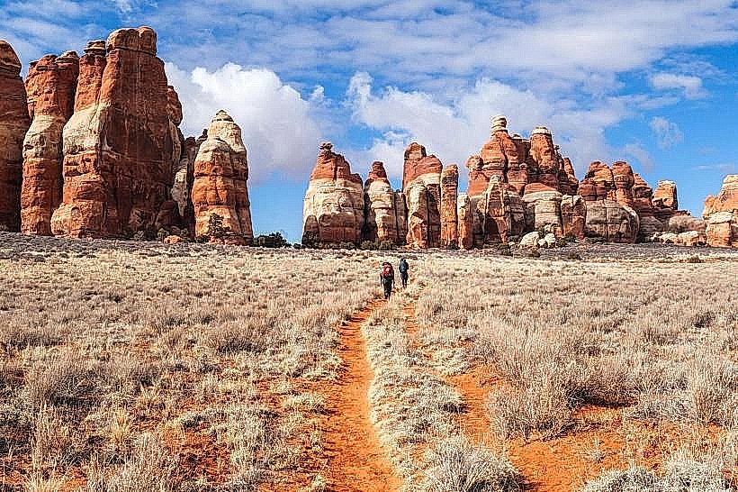
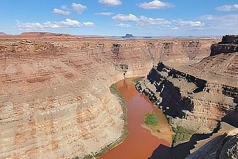
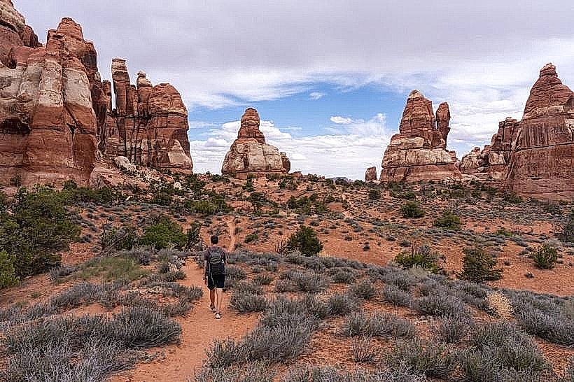
Canyonlands National Park (Needles District): Located 50 miles west; famous for its towering sandstone spires and remote hiking.
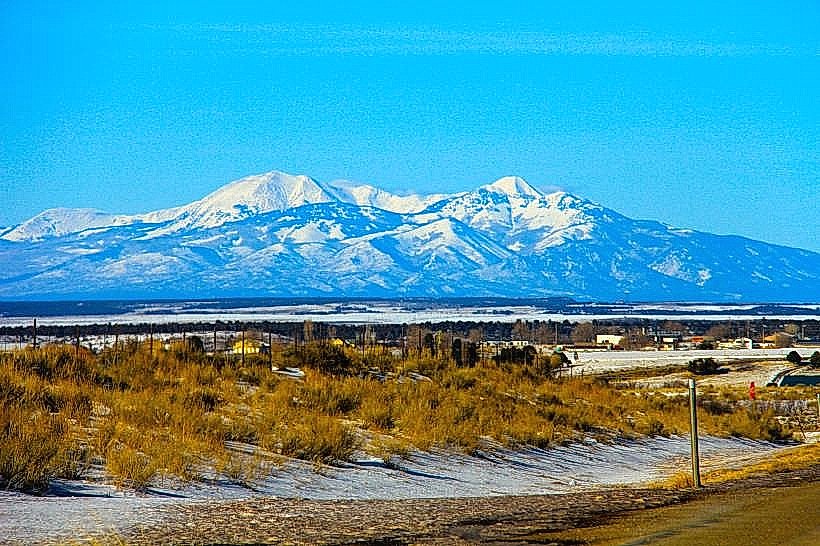
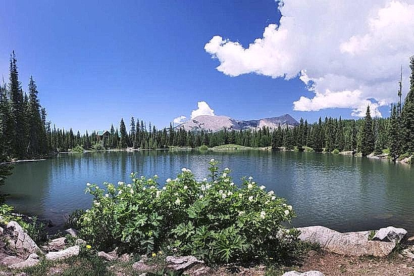
Abajo Mountains (The Blues): Offering alpine recreation, including hunting, fishing, and over 100 miles of ATV trails immediately west of the city.
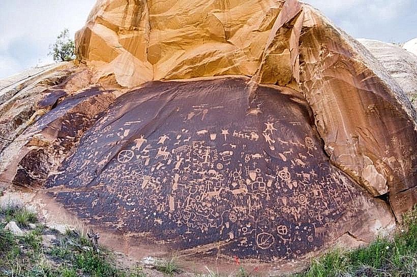
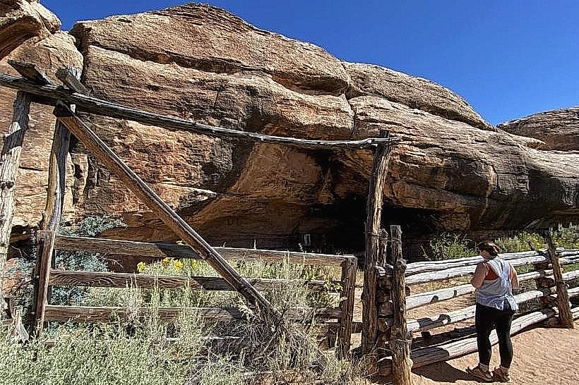
Newspaper Rock: A massive rock panel 28 miles west featuring one of the largest collections of petroglyphs in the country.
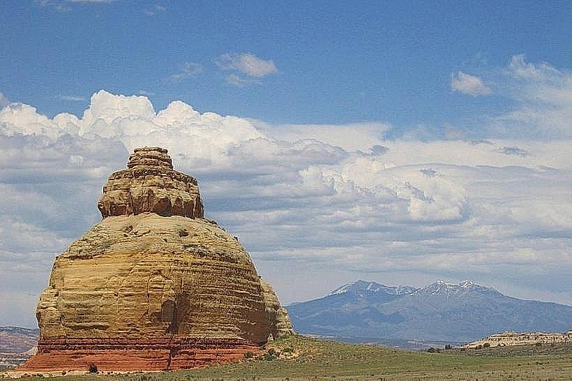
Church Rock: A solitary sandstone monolith located just north of town along the highway.
Transportation & Infrastructure
Roads: Monticello is a strategic junction for US-191 and US-491 (the primary route to Colorado).
2026 Projects: Expansion of the San Juan County Public Safety facilities is underway to manage increased tourist volume.
Connectivity: Residential fiber-optic access has reached 85% coverage as of early 2026.
Safety & Environmental Alerts (Jan 26, 2026)
Extreme Cold: At 7,000+ feet, Monticello is significantly colder than neighboring Moab. Overnight lows are reaching -18°C (0°F).
Winter Travel Advisory: US-191 over Monticello Pass and US-491 toward the Colorado border are currently experiencing black ice and blowing snow. 4WD or snow tires are mandatory.
High Altitude Note: Visitors are cautioned about altitude sickness; hydration and limited physical exertion are advised for those arriving from sea level.
Climate & Air Quality
Monticello has a Cold Semi-Arid climate (BSk) with alpine influences.
Current Air Quality: Excellent (AQI 9).
Conditions: Clear skies with a brisk western wind at 12 mph.
Local Cost Index
1 Espresso: $3.50 – $5.00
1 Standard Lunch: $15.00 – $24.00
Median Home Value: $288,400
Affordability: One of the last relatively affordable residential hubs in proximity to Utah's "Mighty 5" National Parks.
Facts & Legends
Monticello is named after Thomas Jefferson’s estate in Virginia. A verified fact: Despite its small size, it serves as the administrative center for the largest county in Utah by land area. A local legend involves "Old Ephraim," a legendary grizzly bear said to have roamed the nearby mountains, though he was historically killed further north; regional folklore persists regarding a "Ghost Grizzly" seen by hunters in the high timber of the Abajo range.