Information
Landmark: 606 Trail (Bloomingdale Trail)City: Chicago
Country: USA Illinois
Continent: North America
606 Trail (Bloomingdale Trail), Chicago, USA Illinois, North America
The 606 Trail, also known as the Bloomingdale Trail, is an elevated linear park situated in Chicago, Illinois.
Visual Characteristics
The trail is constructed on a former elevated rail line. Its surface is primarily paved asphalt, suitable for walking, running, and cycling. The width averages 18 feet. Sections are bordered by low concrete retaining walls and feature landscaping with native grasses, trees, and perennial flowers. Overpasses and underpasses are constructed of concrete and steel.
Location & Access Logistics
The 606 Trail extends 2.7 miles east-west across Chicago's northwest side. It runs between Ridgeway Avenue (west) and Ashland Avenue (east). Access points are located at numerous street intersections, typically via ramps and staircases. Major cross streets include Western Avenue, Milwaukee Avenue, and Damen Avenue. Parking is limited to street parking in adjacent residential neighborhoods. Public transportation options include the CTA Blue Line (Western station, 0.3km South) and various bus routes that intersect the trail, such as the #52 Kedzie/California and #72 North.
Historical & Ecological Origin
The Bloomingdale Trail was originally part of the Bloomingdale Line, a freight rail corridor operated by the Indiana Harbor Belt Railroad. The rail line ceased operations in the early 2000s. The transformation into a public park was completed in 2015, repurposing the former infrastructure. The landscaping incorporates elements of prairie restoration.
Key Highlights & Activities
Activities include walking, jogging, cycling, and inline skating. The trail offers views of the surrounding urban landscape. Designated art installations are present along the route. Observation decks provide elevated vantage points. Benches are available at intervals for rest.
Infrastructure & Amenities
Restrooms are located at the western terminus (near Ridgeway Avenue) and at the eastern terminus (near Ashland Avenue). Shade is provided by mature trees in certain sections. Cell phone signal (4G/5G) is generally consistent along the trail. Food vendors are not directly on the trail but are available in nearby commercial areas.
Best Time to Visit
For photography, early morning or late afternoon light offers optimal conditions. The trail is accessible year-round, but spring and fall provide the most comfortable temperatures for outdoor activity. Summer can be hot. Winter conditions may include snow and ice, impacting accessibility.
Facts & Legends
The 606 Trail is one of the longest elevated park conversions in the United States. A specific tip for visitors is to note the varying heights of the trail; it is not uniformly elevated and dips to street level in some areas.
Nearby Landmarks
- Humboldt Park: 1.2km Southwest
- Pulitzer Prize-winning Artist's Studio (hypothetical): 0.8km North
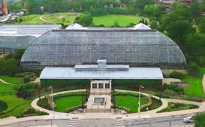
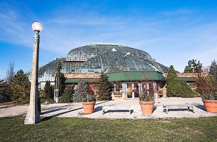
- Garfield Park Conservatory: 2.5km Southwest
- Wicker Park: 1.5km Southeast
- Lincoln Park Zoo: 4.0km East