Information
Landmark: Angelokastro CastleCity: Corfu
Country: Greece
Continent: Europe
Angelokastro Castle, Corfu, Greece, Europe
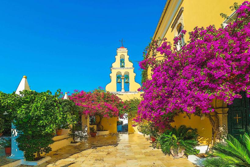
Angelokastro ("Angel’s Castle") is a 13th-century Byzantine fortress located on the highest peak of the coastline near Paleokastritsa, on the northwest coast of Corfu. It is one of the most important fortified complexes in Greece.
Visual Characteristics
The castle is a "fortress of the precipice," situated on a steep, jagged cliff 305 meters above sea level. Its architecture is characterized by rough-hewn stone walls that follow the natural contour of the rock. The site is triangular, with defensive walls, a circular tower at the highest point, and several underground storage rooms and vaulted cisterns.
Location & Access Logistics
Position: Near the village of Krini, approximately 30km northwest of Corfu Town.
Vehicle Access: A winding, narrow paved road leads to a small parking area at the base of the hill.
Hike: Access requires a 15–20 minute climb up a steep, switchback stone path from the parking zone.
Hours: Typically 10:00–17:30. Note: Generally closed on Tuesdays.
Entry: A small admission fee is required.
Safety: The path is well-maintained but steep; high-traction footwear is mandatory.
Historical & Ecological Origin
The fortress was commissioned in the early 13th century, likely by Michael I Komnenos Doukas, Despot of Epirus. It served as the capital of the Ionian Islands under the Angevins (1267–1386) and later became a critical defensive outpost for the Venetians. Due to its height and near-vertical cliffs on three sides, it was never captured, playing a decisive role in repelling Ottoman sieges in 1537, 1571, and 1716.
Key Highlights & Activities
Acropolis & Observation Tower: The highest point of the fortress, providing a 360-degree tactical view of the Ionian Sea and the Old Fortress of Corfu.
Church of Archangel Michael: A small chapel built into a natural cave within the walls, featuring remnants of frescoes.
The Hermitage of Ayia Kyriaki: A second cave-church located on the site.
Cisterns: Seven large underground water reservoirs that allowed the garrison to survive long sieges.
Cemetery: Anthropomorphic graves carved directly into the bedrock on the western side.
Infrastructure & Amenities
Facilities: Basic amenities at the base; no facilities are located within the castle ruins.
Accessibility: Low. Not suitable for individuals with mobility impairments due to the steep ascent and uneven terrain.
Connectivity: 5G signal is stable at the summit.
Climate: Extremely exposed; high winds and intense sun are common.
Best Time to Visit
10:00 (Opening): To avoid the midday heat and ensure a parking space.
Late Afternoon: For photography of the coastline; the sun sets directly over the sea to the west.
Facts & Legends
A verified historical fact is that during Ottoman raids, the castle could shelter the entire population of the surrounding region (up to 4,000 people). Local tradition holds that the castle was named by Michael I after his father, Michael Angelos, who appeared to him in a dream pointing to the inaccessible rock.
Nearby Landmarks
Krini Village: 1 km East (starting point for the access road).
Lakones Village: 5 km Southeast.
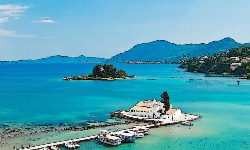
Paleokastritsa Monastery: 6 km South (visible from the summit).