Information
Landmark: Belait RiverCity: Belait
Country: Brunei
Continent: Asia
Belait River, Belait, Brunei, Asia
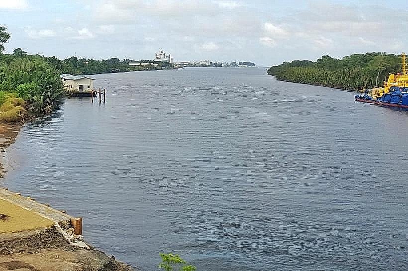
The Belait River is a significant waterway located in the Belait District of Brunei. It serves as a primary geographical feature and transportation route within the region.
Visual Characteristics
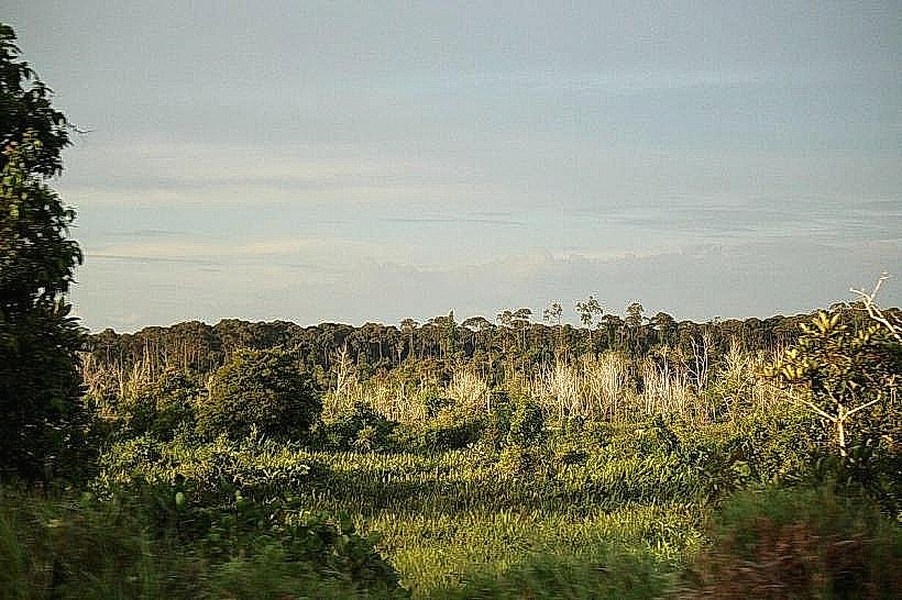
The river's width varies, averaging approximately 200 meters in its lower reaches. Water color is typically brown due to sediment load from upstream tributaries. The banks are characterized by dense mangrove vegetation and occasional patches of cleared land for settlements and industrial activity. The riverbed is composed of silt and sand.
Location & Access Logistics
The Belait River flows through the Belait District, with its mouth opening into the South China Sea. The main urban center along the river is Kuala Belait, located at its estuary. Access to the river is primarily via road networks connecting to Kuala Belait, including Jalan Maulana and Jalan Pangsa. Parking is available in designated areas within Kuala Belait. Public transport includes local bus services that terminate in Kuala Belait, from where riverine access can be arranged via local boat operators.
Historical & Ecological Origin
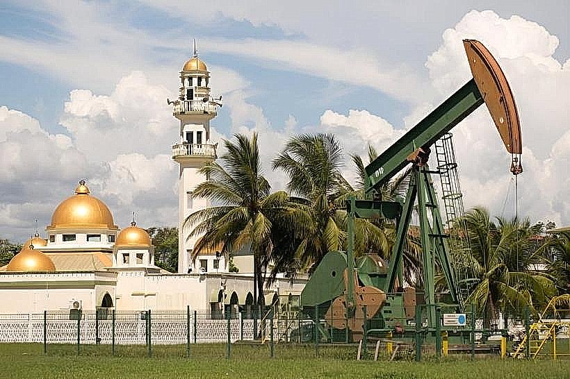
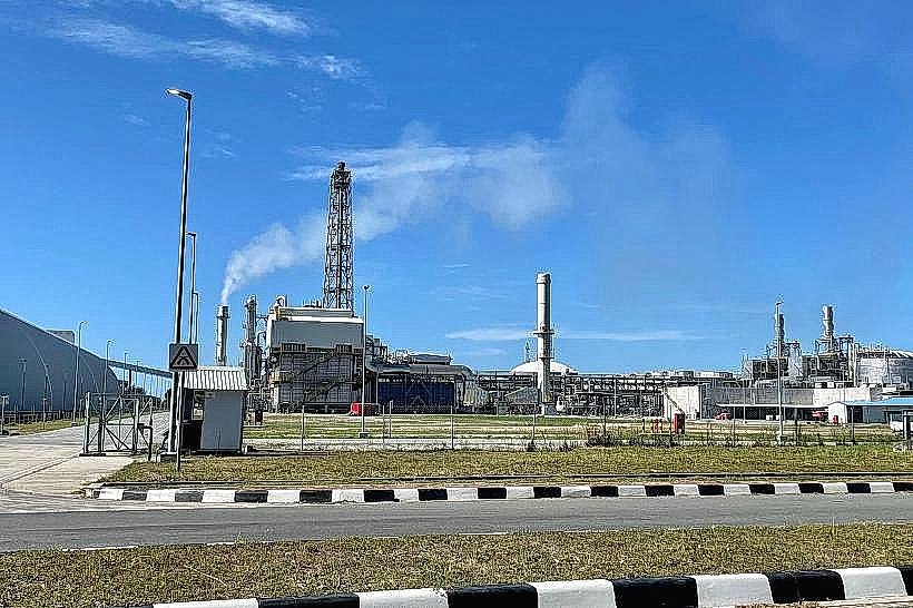
The Belait River is a natural fluvial system, formed by erosion and sediment deposition over geological time. Its ecological significance lies in its role as a habitat for mangrove species and associated fauna. Historically, the river has been crucial for local communities for fishing, transportation, and resource extraction, particularly oil and gas, which are abundant in the surrounding district.
Key Highlights & Activities
Boat tours along the river are available, offering views of the mangrove ecosystems and coastal areas. Fishing is a common activity for local residents. Observation of wildlife, including various bird species and potential sightings of proboscis monkeys, is possible during boat excursions.
Infrastructure & Amenities
Basic amenities such as restrooms are available in Kuala Belait. Shade is provided by natural tree cover along the riverbanks in undeveloped areas. Cell phone signal (4G/5G) is generally available in and around Kuala Belait. Food vendors and restaurants are concentrated in Kuala Belait.
Best Time to Visit
The best time for river observation is during daylight hours. The dry season, from March to September, generally offers clearer skies. Tidal patterns can affect navigability in certain shallow areas; consulting local boat operators for current conditions is advisable.
Facts & Legends
The Belait River is the longest river in Brunei. Local folklore speaks of river spirits that protect the waterway, with offerings sometimes left by fishermen seeking a bountiful catch.
Nearby Landmarks
- Kuala Belait Town Centre (0.2km West)
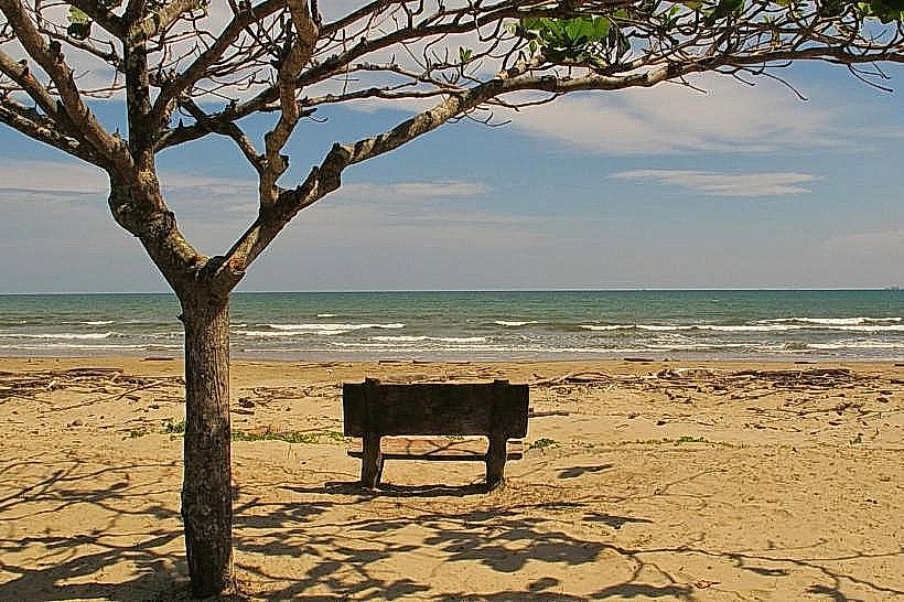
- Pancasila Beach (1.5km North)
- Seria Oilfield (10km East)
- Brunei Maritime Museum (12km East)