Information
Landmark: Kuala Belait BeachCity: Belait
Country: Brunei
Continent: Asia
Kuala Belait Beach, Belait, Brunei, Asia
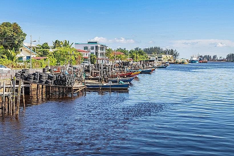
Kuala Belait Beach is a coastal area situated in the Belait District of Brunei.
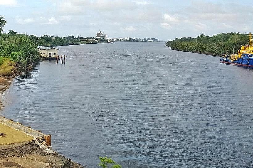
It serves as a public access point to the South China Sea.
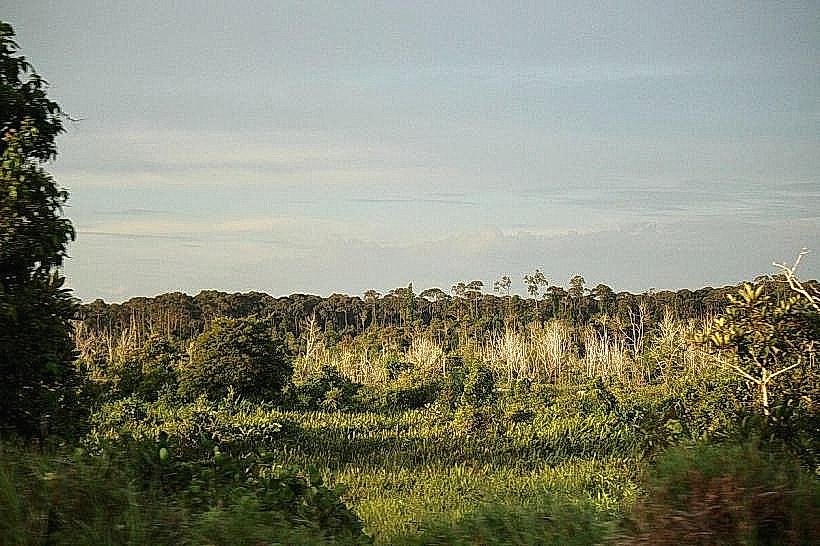
Visual Characteristics
The beach consists of a strip of light brown sand. The water color is typically a muted grey-green, influenced by sediment. Vegetation behind the beach is characterized by dense tropical foliage, including palm trees and various shrubs. The shoreline extends for approximately 2 kilometers.
Location & Access Logistics
Kuala Belait Beach is located at the northernmost point of Kuala Belait town. It is approximately 3 kilometers north of the town center. Access is via Jalan Maulana. Parking is available in designated lots adjacent to the beach access points. Public transport options are limited; local bus routes terminate within the town, requiring a short walk or taxi ride to the beach.
Historical & Ecological Origin
The beach is a natural formation, part of the coastal plain of Borneo. Its current state is influenced by natural erosion and deposition processes. Historically, it has been a point of local maritime activity and a recreational area for residents of Kuala Belait.
Key Highlights & Activities
Walking along the shoreline is a primary activity. Fishing from the shore is permitted. Observation of local birdlife is possible. Swimming is not recommended due to strong currents and potential debris.
Infrastructure & Amenities
Basic amenities include a limited number of shaded picnic areas with benches. Restroom facilities are present but may not be consistently maintained. Cell phone signal (4G) is generally available. No food vendors are permanently located on the beach; options are available in Kuala Belait town.
Best Time to Visit
For photography, early morning (06:00-08:00) offers softer light. The driest months are typically from January to March. High tide can reduce the visible sand area. Low tide provides more exposed beach for walking.
Facts & Legends
Local folklore suggests that the currents off Kuala Belait Beach are unpredictable and have been the cause of numerous maritime incidents throughout history, though specific documented accounts are scarce.
Nearby Landmarks
- Kuala Belait Mosque (1.5km South)
- Pehin Dato Seri Setia Haji Awang Mohd Yusof Complex (2km South)
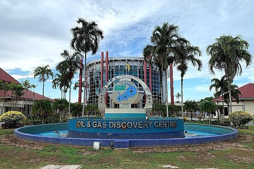
- Oil and Gas Discovery Centre (3.5km Southwest)
- Seria Energy Lab (5km East)