Information
Landmark: BeltLine Eastside TrailCity: Atlanta
Country: USA Georgia
Continent: North America
BeltLine Eastside Trail, Atlanta, USA Georgia, North America
The BeltLine Eastside Trail is a 3.1-mile paved multi-use path in Atlanta, Georgia, connecting the Reynoldstown neighborhood to Piedmont Park.
Visual Characteristics
The trail is primarily a paved asphalt surface, averaging 14 feet in width. It is bordered by a mix of urban landscaping, including trees, shrubs, and grasses, with sections featuring exposed brick walls and concrete retaining structures from its former use as a railway corridor. Public art installations are frequently present along the route.
Location & Access Logistics
The Eastside Trail runs along the former rail line of the Georgia & Florida Railroad. Access points are numerous. Major entry points include Piedmont Park (near the 12th Street entrance), Ponce City Market (at the north end), and Irwin Street (at the south end). Parking is available at Ponce City Market (paid) and in surrounding neighborhoods, though street parking can be limited. Public transport options include MARTA bus lines that stop near access points, such as the 2, 10, and 839 routes. The trail is also accessible from the MARTA East Line stations (e.g., North Avenue, Midtown) via a short walk or connecting bus.
Historical & Ecological Origin
The Eastside Trail follows the path of a former railway line constructed in the early 20th century. It was part of the larger Atlanta BeltLine project, which aims to redevelop a 22-mile loop of historic rail corridors into a network of multi-use trails, parks, and transit. The ecological origin is a repurposed industrial corridor, now undergoing ecological restoration with native plantings in designated areas.
Key Highlights & Activities
Activities include walking, running, cycling, and inline skating. The trail connects to various parks and commercial areas. Specific points of interest include access to Ponce City Market for shopping and dining, the Historic Fourth Ward Park, and the Krog Street Market. Public art viewing is a common activity.
Infrastructure & Amenities
Restrooms are available at major access points like Ponce City Market and Historic Fourth Ward Park. Shade is provided by mature trees in some sections. Cell phone signal (4G/5G) is generally strong along the entire trail. Food vendors and restaurants are concentrated at Ponce City Market and Krog Street Market, with additional options in adjacent neighborhoods.
Best Time to Visit
For photography, early morning (7-9 AM) or late afternoon (4-6 PM) offers optimal lighting conditions with fewer crowds. The best months for comfortable outdoor activity are April through June and September through October, avoiding the peak heat and humidity of summer. The trail is accessible year-round.
Facts & Legends
A unique aspect of the Eastside Trail is its integration with the Atlanta BeltLine's vision for transit-oriented development. A specific tip for visitors is to check the Atlanta BeltLine website for current public art installations, as these are frequently updated and rotated.
Nearby Landmarks
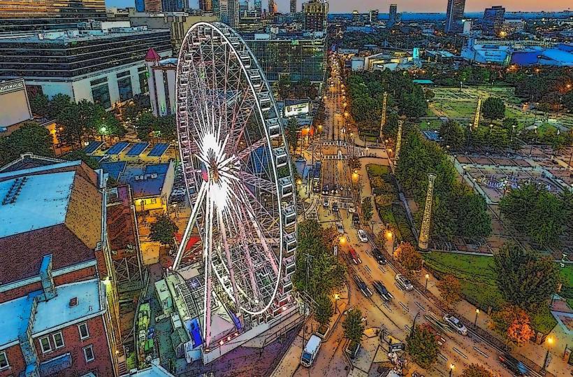
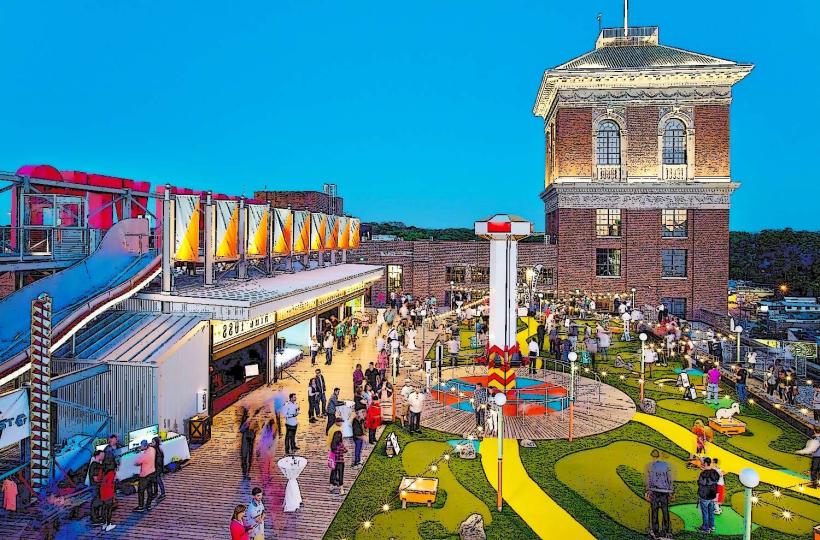
- Ponce City Market (0.1km North)
- Krog Street Market (0.5km South)
- Historic Fourth Ward Park (0.3km South)
- Piedmont Park (3.1km North)
- Oakland Cemetery (1.2km Southwest)