Information
Landmark: Bicaj PlateauCity: Kukes
Country: Albania
Continent: Europe
Bicaj Plateau, Kukes, Albania, Europe
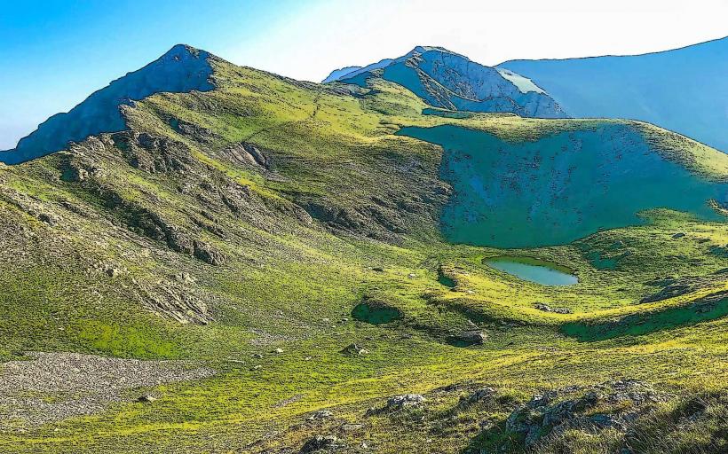
The Bicaj Plateau is a high-altitude karst formation located in the Kukës District of northeastern Albania, situated at the southwestern base of Gjallica Mountain. It overlooks the Luma region and the deep gorges of the eastern Albanian Alps.
Visual Characteristics
The plateau is characterized by a "stepped" karst landscape, featuring large expanses of limestone pavement, sinkholes, and seasonal alpine pastures. The terrain is a mix of rugged grey rock and fertile green pockets used for grazing. From the plateau edges, there are vertical drops into the Bicaj Canyon and panoramic views of the Black Drin valley and the distant Mali i Pashtrikut.
Location & Access Logistics
Access is via the village of Bicaj, located approximately 15 kilometers southeast of the city of Kukës. A steep, unpaved mountain road leads from the village center toward the higher pastures; a 4x4 vehicle is required for motorized transport. Alternatively, a rigorous hiking trail ascends from Bicaj, taking approximately 2–3 hours to reach the main plateau level. Public minibuses (furgons) travel from Kukës to Bicaj daily, but not to the plateau itself.
Historical & Ecological Origin
The plateau was formed by the tectonic uplift of the Dinaric Alps and subsequent chemical weathering of the limestone. Historically, it has been a vital site for transhumance, where local shepherds from the Luma tribe move livestock to high-pastures during the summer. The area is part of the Korab-Koritnik Nature Park and hosts various alpine flora and bird species, including the golden eagle.
Key Highlights & Activities
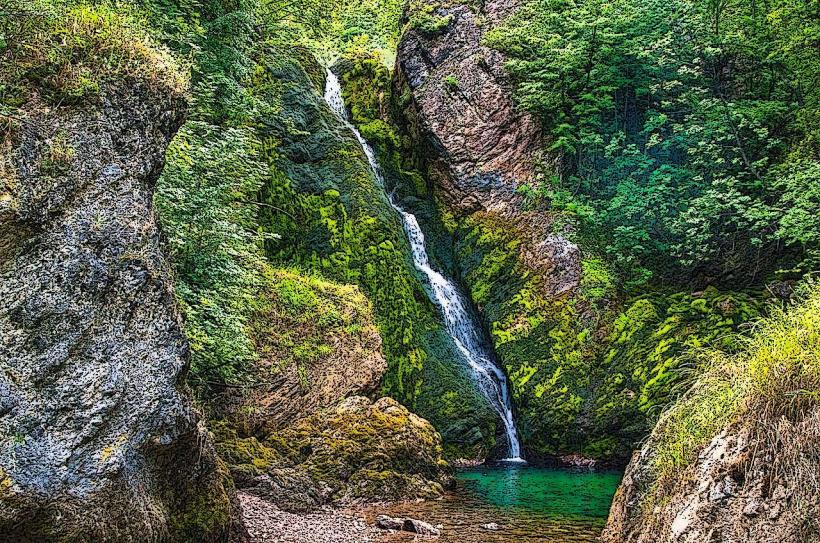
Hiking and mountain biking are the primary activities, often as part of an ascent toward the Gjallica summit. The Bicaj Canyon (Gryka e Bicajve), located at the northern edge of the plateau, offers opportunities for technical canyoning and photography of its narrow limestone walls. The plateau is also used for paragliding launches due to the reliable thermal updrafts from the valley below.
Infrastructure & Amenities
Infrastructure is minimal. There are no paved roads, public restrooms, or formal visitor centers on the plateau. A few stone shepherd huts (stane) are scattered across the landscape, used seasonally. Visitors must carry all water and supplies. 4G cellular signal is available on the western edges facing Kukës but is lost in the interior folds of the mountain.
Best Time to Visit
The optimal period is from May to October. During the spring (May-June), the plateau is covered in alpine wildflowers and the temperature is mild. For photography, the late afternoon provides high-contrast lighting over the Drin valley. Winter visits are difficult due to heavy snow and the risk of disorientation in whiteout conditions on the featureless limestone flats.
Facts & Legends
A verified geographical feature is the "Stone of the Sun" (Guri i Diellit), a specific rock formation on the plateau used by ancient shepherds to mark the solar solstices. Local legend associates the plateau with the "Zana e Malit" (Mountain Fairies), who were said to protect the livestock of those who respected the mountain’s silence.
Nearby Landmarks
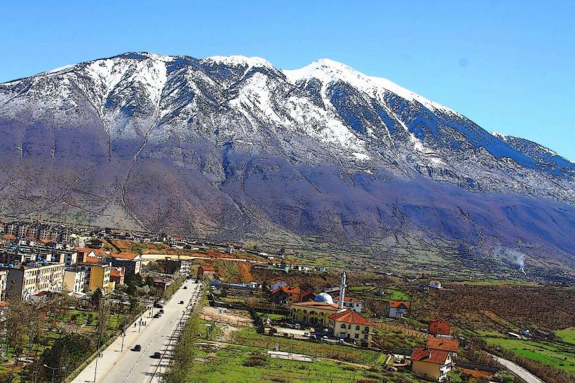
Gjallica Mountain: 4.0km Northeast
Bicaj Canyon: 1.5km North
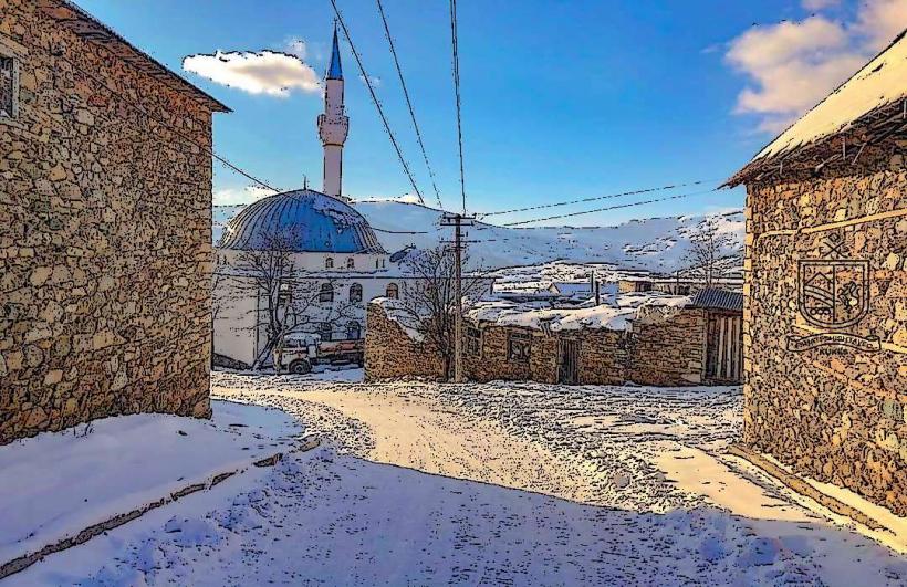
Kukes City Center: 16.0km Northwest
Koritnik Mountain: 18.0km Northeast
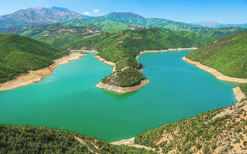
Black Drin River: 7.0km West